Property Record
2969 State St, Hamden, CT 06517
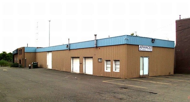

Property Detail
2969 State St
HAMD-002432-000019
NEW HAVEN
Industrialgeneral
Connecticut
T4
0000
AE The base floodplain where base flood elevations are provided. AE Zones are now used on new format FIRMs instead of A1-A30 Zones.
2.78 AC
2024
Hamden
2025
Westchester/So Connecticut
165100
New Haven, CT
NEARBY LISTINGS FOR SALE OR LEASE
DEMOGRAPHICS near 2969 State St
1 mile
3 mile
5 mile
2024 Total Population
4,177
73,851
212,436
2029 Population
4,225
74,526
214,336
Pop Growth 2024-2029
+ 1.15%
+ 0.91%
+ 0.89%
Average Age
45
42
39
2024 Total Households
1,665
30,871
83,893
HH Growth 2024-2029
+ 1.14%
+ 0.98%
+ 1.07%
Median Household Inc
$121,218
$84,542
$68,581
Avg Household Size
2.50
2.30
2.30
2024 Avg HH Vehicles
2.00
2.00
1.00
Median Home Value
$401,214
$308,482
$316,634
Median Year Built
1953
1963
1960
Nearby Places
Map Layers
Map Styles
 Street
 Aerial
Transit
 Traffic
 Biking
Places
Listings with unknown addresses are not visible on the map
- Restaurants
- Banks
- Shops
- Fitness
- Groceries
The World's #1 Commercial Real Estate Marketplace
Connect with us
© 2026 CoStar Group
The information above has been obtained from sources believed reliable. While we do not doubt its accuracy we have not verified it and make no guarantee, warranty or representation about it. It is your responsibility to independently confirm its accuracy and completeness. Any projections, opinions, assumptions, or estimates used are for example only and do not represent the current or future performance of the property. The value of this transaction to you depends on tax and other factors which should be evaluated by your tax, financial, and legal advisors. You and your advisors should conduct a careful, independent investigation of the property to determine to your satisfaction the suitability of the property for your needs.