Property Record
2970 Dede Rd, Finksburg, MD 21048


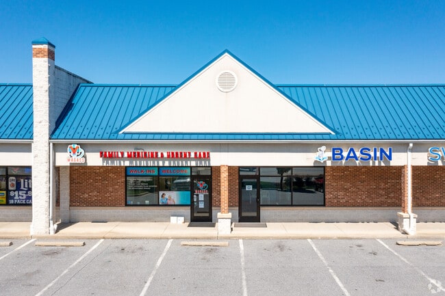
Property Detail
2970 Dede Rd
04-081390
LT 2B - 5.72953 ACS 2970 DEDE RD 50-213/214 WALNUT PARK IND SUB
Stripcommercialcenter
Carroll
C-2
Maryland
B and X Area of moderate flood hazard, usually the area between the limits of the 100-year and 500-year floods.
2b
2025
5.73 AC
2025
Carroll County
504100
Baltimore
21,200 SF
Baltimore-Columbia-Towson, MD
NEARBY LISTINGS FOR SALE OR LEASE
DEMOGRAPHICS near 2970 Dede Rd
1 mile
3 mile
5 mile
2025 Total Population
1,056
10,213
40,767
2030 Population
1,074
10,395
41,211
Pop Growth 2025-2030
+ 1.70%
+ 1.78%
+ 1.09%
Average Age
43
44
42
2025 Total Households
384
3,748
15,172
HH Growth 2025-2030
+ 1.82%
+ 1.81%
+ 1.10%
Median Household Inc
$132,575
$119,719
$112,071
Avg Household Size
2.70
2.70
2.60
2025 Avg HH Vehicles
3.00
3.00
2.00
Median Home Value
$498,683
$472,893
$436,716
Median Year Built
1981
1981
1981
Nearby Places
Map Layers
Map Styles
 Street
 Aerial
Layers
 Traffic
 Biking
Places
Listings with unknown addresses are not visible on the map
- Restaurants
- Banks
- Shops
- Fitness
- Groceries
PUBLIC TRANSPORTATION
AIRPORT
Baltimore/Washington International Thurgood Marshall
Drive
Walk
Distance
Baltimore/Washington International Thurgood Marshall
41 min
27.3 mi
Freight Ports
Port of Baltimore
Drive
Walk
Distance
Port of Baltimore
42 min
27.8 mi
SALE & LEASE HISTORY
LISTING DATE
SALE/LEASE

Sep 25, 2016
For Lease
Jun 20, 2024
For Sale
Dec 10, 2019
For Lease
Nearby Properties
Address
Land Use
TOTAL SIZE
Lot Size
Zoning
Address
Land Use
TOTAL SIZE
Lot Size
Zoning
31,185 SF
486.08 AC
RC2
Address
Land Use
TOTAL SIZE
Lot Size
Zoning
47,370 SF
90.74 AC
R-400
Address
Land Use
TOTAL SIZE
Lot Size
Zoning
86,496 SF
52.58 AC
RC-2
Address
Land Use
TOTAL SIZE
Lot Size
Zoning
58,300 SF
80.97 AC
Address
Land Use
TOTAL SIZE
Lot Size
Zoning
58,688 SF
23.36 AC
RC4
Address
Land Use
TOTAL SIZE
Lot Size
Zoning
31,570 SF
11.46 AC
C-2
Address
Land Use
TOTAL SIZE
Lot Size
Zoning
28,268 SF
10.69 AC
R-400
Address
Land Use
TOTAL SIZE
Lot Size
Zoning
7,068 SF
18.66 AC
I-2
Address
Land Use
TOTAL SIZE
Lot Size
Zoning
5,483 SF
14.80 AC
I-2
Address
Land Use
TOTAL SIZE
Lot Size
Zoning
59,685 SF
5 AC
CONSE
Address
Land Use
TOTAL SIZE
Lot Size
Zoning
13,054 SF
5.06 AC
R-400
Address
Land Use
TOTAL SIZE
Lot Size
Zoning
19,913 SF
7.70 AC
RC4
Address
Land Use
TOTAL SIZE
Lot Size
Zoning
40,000 SF
2.84 AC
I-1
Address
Land Use
TOTAL SIZE
Lot Size
Zoning
2,144 SF
4.53 AC
C-2
Address
Land Use
TOTAL SIZE
Lot Size
Zoning
53,478 SF
10.22 AC
I-1
Address
Land Use
TOTAL SIZE
Lot Size
Zoning
17.88 AC
R-200
Address
Land Use
TOTAL SIZE
Lot Size
Zoning
8,950 SF
5.25 AC
C-2
Address
Land Use
TOTAL SIZE
Lot Size
Zoning
8,016 SF
2 AC
R-400
Address
Land Use
TOTAL SIZE
Lot Size
Zoning
15,000 SF
21.23 AC
I-2
Address
Land Use
TOTAL SIZE
Lot Size
Zoning
17,520 SF
2.65 AC
C-2
Address
Land Use
TOTAL SIZE
Lot Size
Zoning
57,550 SF
7.21 AC
I-1
Address
Land Use
TOTAL SIZE
Lot Size
Zoning
5,576 SF
29.93 AC
R-400
Address
Land Use
TOTAL SIZE
Lot Size
Zoning
9.74 AC
AGRIC
Address
Land Use
TOTAL SIZE
Lot Size
Zoning
8,563 SF
4.38 AC
C-2
Address
Land Use
TOTAL SIZE
Lot Size
Zoning
880 SF
0.94 AC
C-2
Address
Land Use
TOTAL SIZE
Lot Size
Zoning
3,600 SF
5.36 AC
R-400
Address
Land Use
TOTAL SIZE
Lot Size
Zoning
8,874 SF
9.87 AC
Address
Land Use
TOTAL SIZE
Lot Size
Zoning
6,400 SF
6.23 AC
I-1
Address
Land Use
TOTAL SIZE
Lot Size
Zoning
6,250 SF
4.38 AC
I-2
The World's #1 Commercial Real Estate Marketplace
Connect with us
© 2026 CoStar Group
The information above has been obtained from sources believed reliable. While we do not doubt its accuracy we have not verified it and make no guarantee, warranty or representation about it. It is your responsibility to independently confirm its accuracy and completeness. Any projections, opinions, assumptions, or estimates used are for example only and do not represent the current or future performance of the property. The value of this transaction to you depends on tax and other factors which should be evaluated by your tax, financial, and legal advisors. You and your advisors should conduct a careful, independent investigation of the property to determine to your satisfaction the suitability of the property for your needs.