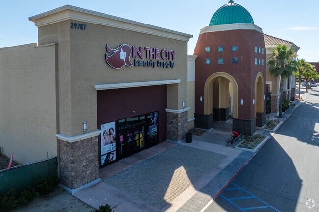
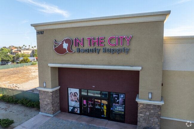
Property Record
29787 Antelope Rd, Menifee, CA 92584

Current Lease Availabilities
Property Detail
29787 Antelope Rd
340-620-025
ACRES 0.78000000 ACREAGEQUALCODE AC LOTTYPE P PARCEL 1 MAPPLATB 248 MAPPLATP 053 SUBDIVISIONNAME PM 37497
Storebuilding
Riverside
B and X Area of moderate flood hazard, usually the area between the limits of the 100-year and 500-year floods.
California
2024
0.78 AC
2025
South Riverside
042752
Inland Empire (California)
12,580 SF
Riverside-San Bernardino-Ontario, CA
NEARBY LISTINGS FOR SALE OR LEASE
DEMOGRAPHICS near 29787 Antelope Rd
1 mile
3 mile
5 mile
2025 Total Population
12,482
79,745
150,157
2030 Population
12,900
82,791
156,305
Pop Growth 2025-2030
+ 3.35%
+ 3.82%
+ 4.09%
Average Age
41
40
39
2025 Total Households
4,575
26,591
47,784
HH Growth 2025-2030
+ 2.67%
+ 3.19%
+ 3.54%
Median Household Inc
$86,916
$92,658
$96,674
Avg Household Size
2.70
2.90
3.00
2025 Avg HH Vehicles
2.00
2.00
2.00
Median Home Value
$586,761
$591,920
$606,319
Median Year Built
1997
2000
2001
Nearby Places
Map Layers
Map Styles
 Street
 Aerial
Layers
 Traffic
 Biking
Places
Listings with unknown addresses are not visible on the map
- Restaurants
- Banks
- Shops
- Fitness
- Groceries
PUBLIC TRANSPORTATION
COMMUTER RAIL
South Perris (Metrolink 91-Perris Valley Line - Metrolink Trains)
Drive
Walk
Distance
South Perris (Metrolink 91-Perris Valley Line - Metrolink Trains)
10 min
6.9 mi
Perris Downtown (Metrolink 91-Perris Valley Line - Metrolink Trains)
Drive
Walk
Distance
Perris Downtown (Metrolink 91-Perris Valley Line - Metrolink Trains)
13 min
9.5 mi
Freight Ports
Port of Long Beach
Drive
Walk
Distance
Port of Long Beach
96 min
74.2 mi
Nearby Properties
Address
Land Use
TOTAL SIZE
Lot Size
Zoning
Address
Land Use
TOTAL SIZE
Lot Size
Zoning
61,012 SF
19.12 AC
SPZONE
Address
Land Use
TOTAL SIZE
Lot Size
Zoning
33,793 SF
8.47 AC
Address
Land Use
TOTAL SIZE
Lot Size
Zoning
123,058 SF
17.09 AC
R3
Address
Land Use
TOTAL SIZE
Lot Size
Zoning
136,706 SF
10.85 AC
RR
Address
Land Use
TOTAL SIZE
Lot Size
Zoning
31,477 SF
4.24 AC
RR
Address
Land Use
TOTAL SIZE
Lot Size
Zoning
128,991 SF
10.20 AC
SPZONE
Address
Land Use
TOTAL SIZE
Lot Size
Zoning
76,301 SF
9.63 AC
Address
Land Use
TOTAL SIZE
Lot Size
Zoning
9.22 AC
CBOOK
Address
Land Use
TOTAL SIZE
Lot Size
Zoning
134,641 SF
5.39 AC
Address
Land Use
TOTAL SIZE
Lot Size
Zoning
5,757 SF
314.61 AC
A110
Address
Land Use
TOTAL SIZE
Lot Size
Zoning
130,830 SF
26 AC
SP
Address
Land Use
TOTAL SIZE
Lot Size
Zoning
172,887 SF
15.10 AC
SPZONE
Address
Land Use
TOTAL SIZE
Lot Size
Zoning
40,349 SF
9.89 AC
R3
Address
Land Use
TOTAL SIZE
Lot Size
Zoning
61,487 SF
5.73 AC
Address
Land Use
TOTAL SIZE
Lot Size
Zoning
116,410 SF
10.88 AC
C1CP
Address
Land Use
TOTAL SIZE
Lot Size
Zoning
139,410 SF
13 AC
SPZONE
Address
Land Use
TOTAL SIZE
Lot Size
Zoning
5,000 SF
4.07 AC
RR
Address
Land Use
TOTAL SIZE
Lot Size
Zoning
38,106 SF
3.50 AC
SP
Address
Land Use
TOTAL SIZE
Lot Size
Zoning
63,039 SF
2.80 AC
SP
Address
Land Use
TOTAL SIZE
Lot Size
Zoning
56,135 SF
3.45 AC
SPZONE
Address
Land Use
TOTAL SIZE
Lot Size
Zoning
83,814 SF
8.87 AC
CPS
Address
Land Use
TOTAL SIZE
Lot Size
Zoning
89,137 SF
7.39 AC
SPZONE
Address
Land Use
TOTAL SIZE
Lot Size
Zoning
56,284 SF
5.06 AC
C1CP
Address
Land Use
TOTAL SIZE
Lot Size
Zoning
14,081 SF
1.39 AC
SPZONE
Address
Land Use
TOTAL SIZE
Lot Size
Zoning
27,252 SF
5.42 AC
R6
Address
Land Use
TOTAL SIZE
Lot Size
Zoning
12,645 SF
1.33 AC
RR
Address
Land Use
TOTAL SIZE
Lot Size
Zoning
67,520 SF
74.53 AC
RR
The World's #1 Commercial Real Estate Marketplace
Connect with us
© 2026 CoStar Group
The information above has been obtained from sources believed reliable. While we do not doubt its accuracy we have not verified it and make no guarantee, warranty or representation about it. It is your responsibility to independently confirm its accuracy and completeness. Any projections, opinions, assumptions, or estimates used are for example only and do not represent the current or future performance of the property. The value of this transaction to you depends on tax and other factors which should be evaluated by your tax, financial, and legal advisors. You and your advisors should conduct a careful, independent investigation of the property to determine to your satisfaction the suitability of the property for your needs.