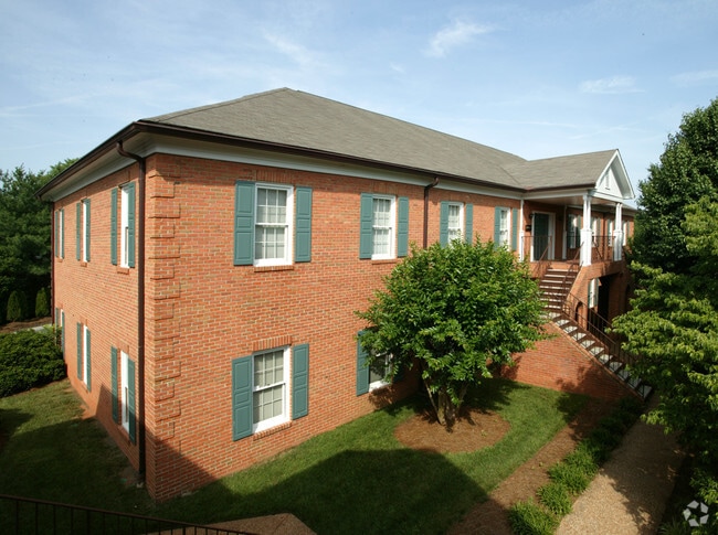
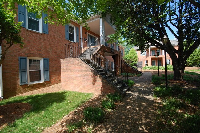
Property Record
2990 Bethesda Pl, Winston Salem, NC 27103
NEARBY LISTINGS FOR SALE OR LEASE
Property Detail
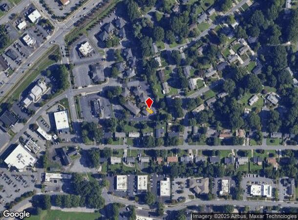
2990 Bethesda Pl
Winston-Salem, NC
Stratford Rd North
6815-71-8148
LO:604D BL:6057A BU:1
Commercialnec
Forsyth
X
North Carolina
3710681500J
604d
2024
1.50 AC
2025
South Forsyth County
002200
Greensboro/Winston-Salem
1,025 SF
DEMOGRAPHICS near 2990 Bethesda Pl
1 Mile
3 Mile
5 Mile
2024 Total Population
6,323
70,225
173,416
2029 Population
6,584
73,102
180,901
Pop Growth 2024-2029
+ 4.13%
+ 4.10%
+ 4.32%
Average Age
42
41
39
2024 Total Households
2,955
33,375
73,247
HH Growth 2024-2029
+ 4.23%
+ 4.23%
+ 4.44%
Median Household Inc
$70,275
$60,140
$53,868
Avg Household Size
2.10
2.00
2.20
2024 Avg HH Vehicles
2.00
2.00
2.00
Median Home Value
$270,826
$248,010
$211,732
Median Year Built
1955
1974
1977
Nearby Places
- Restaurants
- Banks
- Shops
- Fitness
- Groceries
PUBLIC TRANSPORTATION
AIRPORT
Piedmont Triad International
DRIVE
WALK
Distance
Piedmont Triad International
38 min
26.7 mi
SALE & LEASE HISTORY
LISTING DATE
SALE/LEASE

Sep 25, 2016
For Lease
Sep 06, 2018
For Lease
Apr 19, 2018
For Sale
Nearby Properties
Address
Land Use
TOTAL SIZE
Lot Size
Zoning
Address
Land Use
TOTAL SIZE
Lot Size
Zoning
133,360 SF
60.44 AC
C,RMU-S
Address
Land Use
TOTAL SIZE
Lot Size
Zoning
822,684 SF
33.33 AC
GB
Address
Land Use
TOTAL SIZE
Lot Size
Zoning
100 SF
2.59 AC
C
Address
Land Use
TOTAL SIZE
Lot Size
Zoning
123,109 SF
65.07 AC
C,HB,LO-S
Address
Land Use
TOTAL SIZE
Lot Size
Zoning
127,530 SF
2.52 AC
C
Address
Land Use
TOTAL SIZE
Lot Size
Zoning
100 SF
1.53 AC
C
Address
Land Use
TOTAL SIZE
Lot Size
Zoning
315,590 SF
2 AC
CB
Address
Land Use
TOTAL SIZE
Lot Size
Zoning
121,886 SF
3.92 AC
PB-S
Address
Land Use
TOTAL SIZE
Lot Size
Zoning
436,579 SF
72.65 AC
RM8-S
Address
Land Use
TOTAL SIZE
Lot Size
Zoning
316,648 SF
30.46 AC
GB
Address
Land Use
TOTAL SIZE
Lot Size
Zoning
100 SF
2.71 AC
C
Address
Land Use
TOTAL SIZE
Lot Size
Zoning
352,549 SF
2.30 AC
CB WO
Address
Land Use
TOTAL SIZE
Lot Size
Zoning
140,472 SF
1.33 AC
CB WO
Address
Land Use
TOTAL SIZE
Lot Size
Zoning
125,328 SF
19.14 AC
RM18-S
Address
Land Use
TOTAL SIZE
Lot Size
Zoning
117,188 SF
12.22 AC
RM18
Address
Land Use
TOTAL SIZE
Lot Size
Zoning
205,778 SF
4.75 AC
GB
Address
Land Use
TOTAL SIZE
Lot Size
Zoning
200 SF
8.16 AC
PB-S
Address
Land Use
TOTAL SIZE
Lot Size
Zoning
138,636 SF
6.34 AC
RMU-S
Address
Land Use
TOTAL SIZE
Lot Size
Zoning
181,748 SF
7.58 AC
GO,GO-S
Address
Land Use
TOTAL SIZE
Lot Size
Zoning
120,259 SF
13.68 AC
MU-S
Address
Land Use
TOTAL SIZE
Lot Size
Zoning
30,360 SF
17.09 AC
CPO-S
Address
Land Use
TOTAL SIZE
Lot Size
Zoning
112,000 SF
15.57 AC
IP
Address
Land Use
TOTAL SIZE
Lot Size
Zoning
297,487 SF
40.24 AC
RM12,RM18
Address
Land Use
TOTAL SIZE
Lot Size
Zoning
143,081 SF
4.88 AC
GB-S
Address
Land Use
TOTAL SIZE
Lot Size
Zoning
207,203 SF
4.26 AC
PB
Address
Land Use
TOTAL SIZE
Lot Size
Zoning
70,376 SF
2.86 AC
PB-S
Address
Land Use
TOTAL SIZE
Lot Size
Zoning
166,757 SF
5.89 AC
HB
Address
Land Use
TOTAL SIZE
Lot Size
Zoning
124,134 SF
2.14 AC
CB WO
Address
Land Use
TOTAL SIZE
Lot Size
Zoning
121,925 SF
1.49 AC
GO
Address
Land Use
TOTAL SIZE
Lot Size
Zoning
200,188 SF
4.99 AC
GB-S
The World's #1 Commercial Real Estate Marketplace
Connect with us
© 2025 CoStar Group
The information above has been obtained from sources believed reliable. While we do not doubt its accuracy we have not verified it and make no guarantee, warranty or representation about it. It is your responsibility to independently confirm its accuracy and completeness. Any projections, opinions, assumptions, or estimates used are for example only and do not represent the current or future performance of the property. The value of this transaction to you depends on tax and other factors which should be evaluated by your tax, financial, and legal advisors. You and your advisors should conduct a careful, independent investigation of the property to determine to your satisfaction the suitability of the property for your needs.