Property Record
30 Town Center Loop, Waynesville, NC 28786

Save to a Folder
{{folder.Name}}
{{folder.ListingIds.length}} Properties
{{folder.ListingIds.length}} Property
Create a New Folder
Property Detail
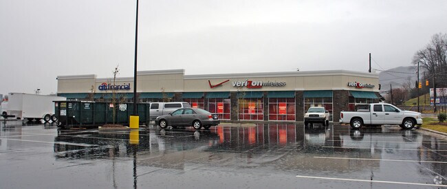
30 Town Center Loop
8604-68-4272
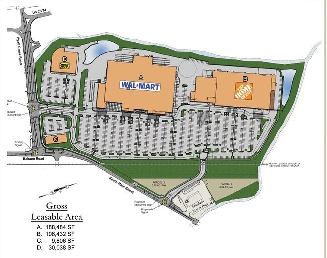
#1 WAYNESVILLE COMMONS
Commercialnec
Haywood
HCAC
North Carolina
C and X Area of minimal flood hazard, usually depicted on FIRMs as above the 500-year flood level.
1.11 AC
2025
Haywood County
2026
Asheville
921201
Waynesville, NC
9,827 SF
NEARBY LISTINGS FOR SALE OR LEASE
DEMOGRAPHICS near 30 Town Center Loop
1 mile
3 mile
5 mile
2025 Total Population
3,577
14,300
22,776
2030 Population
3,584
14,397
23,060
Pop Growth 2025-2030
+ 0.20%
+ 0.68%
+ 1.25%
Average Age
44
46
47
2025 Total Households
1,562
6,419
10,361
HH Growth 2025-2030
0.00%
+ 0.58%
+ 1.23%
Median Household Inc
$55,646
$52,232
$57,385
Avg Household Size
2.20
2.10
2.10
2025 Avg HH Vehicles
2.00
2.00
2.00
Median Home Value
$246,503
$290,822
$306,773
Median Year Built
1974
1975
1980
Nearby Places
Map Layers
Map Styles
 Street
 Aerial
Layers
 Traffic
 Biking
Places
Listings with unknown addresses are not visible on the map
- Restaurants
- Banks
- Shops
- Fitness
- Groceries
PUBLIC TRANSPORTATION
AIRPORT
Asheville Regional
Drive
Walk
Distance
Asheville Regional
48 min
36.9 mi
Freight Ports
North Charleston Terminal
Drive
Walk
Distance
North Charleston Terminal
320 min
280.6 mi
The World's #1 Commercial Real Estate Marketplace
Connect with us
© 2026 CoStar Group
The information above has been obtained from sources believed reliable. While we do not doubt its accuracy we have not verified it and make no guarantee, warranty or representation about it. It is your responsibility to independently confirm its accuracy and completeness. Any projections, opinions, assumptions, or estimates used are for example only and do not represent the current or future performance of the property. The value of this transaction to you depends on tax and other factors which should be evaluated by your tax, financial, and legal advisors. You and your advisors should conduct a careful, independent investigation of the property to determine to your satisfaction the suitability of the property for your needs.