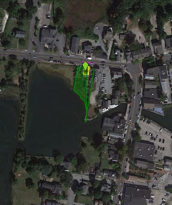
Property Record
30 W Main St, North Kingstown, RI 02852

NEARBY LISTINGS FOR SALE OR LEASE
Property Detail
30 W Main St
Commercialbuilding
Washington
AE
Rhode Island
44009C0104J
0.29 AC
2025
Washington County
2025
Providence
050104
Providence-Warwick, RI-MA
1,904 SF
NKIN-000117-000197
DEMOGRAPHICS near 30 W Main St
1 Mile
3 Mile
5 Mile
2024 Total Population
2,877
15,347
33,724
2029 Population
2,855
15,253
33,535
Pop Growth 2024-2029
(0.76%)
(0.61%)
(0.56%)
Average Age
47
44
44
2024 Total Households
1,309
6,521
13,540
HH Growth 2024-2029
(1.07%)
(0.87%)
(0.85%)
Median Household Inc
$87,544
$93,115
$103,352
Avg Household Size
2.10
2.30
2.40
2024 Avg HH Vehicles
2.00
2.00
2.00
Median Home Value
$513,325
$450,562
$473,588
Median Year Built
1948
1970
1973
Nearby Places
Map Layers
Map Styles
 Street
 Aerial
- Restaurants
- Banks
- Shops
- Fitness
- Groceries
PUBLIC TRANSPORTATION
COMMUTER RAIL
Tf Green Airport (Providence/Stoughton Line - MBTA)
DRIVE
WALK
Distance
Tf Green Airport (Providence/Stoughton Line - MBTA)
19 min
8.2 mi
Wickford Junction (Providence/Stoughton Line - MBTA)
DRIVE
WALK
Distance
Wickford Junction (Providence/Stoughton Line - MBTA)
18 min
8.6 mi
AIRPORT
Rhode Island Tf Green International
DRIVE
WALK
Distance
Rhode Island Tf Green International
24 min
10.5 mi
Freight Ports
Port of Davisville, RI
DRIVE
WALK
Distance
Port of Davisville, RI
15 min
6.4 mi
Nearby Properties
Address
Land Use
TOTAL SIZE
Lot Size
Zoning
Address
Land Use
TOTAL SIZE
Lot Size
Zoning
122,785 SF
43.80 AC
QBPD
Address
Land Use
TOTAL SIZE
Lot Size
Zoning
20.43 AC
MUPD
Address
Land Use
TOTAL SIZE
Lot Size
Zoning
466,871 SF
17.96 AC
QBPD
Address
Land Use
TOTAL SIZE
Lot Size
Zoning
28,800 SF
18.70 AC
QBPD
Address
Land Use
TOTAL SIZE
Lot Size
Zoning
10,375 SF
75.99 AC
A10
Address
Land Use
TOTAL SIZE
Lot Size
Zoning
161,263 SF
61.75 AC
R30
Address
Land Use
TOTAL SIZE
Lot Size
Zoning
4,288 SF
33.30 AC
PVD
Address
Land Use
TOTAL SIZE
Lot Size
Zoning
3,417 SF
7.13 AC
PR
Address
Land Use
TOTAL SIZE
Lot Size
Zoning
8.73 AC
PR
Address
Land Use
TOTAL SIZE
Lot Size
Zoning
63.69 AC
LI
Address
Land Use
TOTAL SIZE
Lot Size
Zoning
107,212 SF
18.50 AC
R10
Address
Land Use
TOTAL SIZE
Lot Size
Zoning
137,323 SF
22.84 AC
PR
Address
Land Use
TOTAL SIZE
Lot Size
Zoning
97,308 SF
9.36 AC
P
Address
Land Use
TOTAL SIZE
Lot Size
Zoning
18.60 AC
QBPD
Address
Land Use
TOTAL SIZE
Lot Size
Zoning
9,216 SF
A7
Address
Land Use
TOTAL SIZE
Lot Size
Zoning
12.68 AC
PR
Address
Land Use
TOTAL SIZE
Lot Size
Zoning
9.35 AC
PR
Address
Land Use
TOTAL SIZE
Lot Size
Zoning
8.85 AC
PR
Address
Land Use
TOTAL SIZE
Lot Size
Zoning
72,831 SF
2.98 AC
PR
Address
Land Use
TOTAL SIZE
Lot Size
Zoning
65,780 SF
16.20 AC
QBPD
Address
Land Use
TOTAL SIZE
Lot Size
Zoning
4,622 SF
473.27 AC
OS
Address
Land Use
TOTAL SIZE
Lot Size
Zoning
112,179 SF
13.45 AC
PR
Address
Land Use
TOTAL SIZE
Lot Size
Zoning
20.81 AC
QBPD
Address
Land Use
TOTAL SIZE
Lot Size
Zoning
5.31 AC
R10
Address
Land Use
TOTAL SIZE
Lot Size
Zoning
6.90 AC
QBPD
Address
Land Use
TOTAL SIZE
Lot Size
Zoning
91,280 SF
Address
Land Use
TOTAL SIZE
Lot Size
Zoning
87,968 SF
5.22 AC
R10
Address
Land Use
TOTAL SIZE
Lot Size
Zoning
3.69 AC
CD1
Address
Land Use
TOTAL SIZE
Lot Size
Zoning
124,765 SF
10.30 AC
QBPD
Address
Land Use
TOTAL SIZE
Lot Size
Zoning
91,074 SF
QBPD
The World's #1 Commercial Real Estate Marketplace
Connect with us
© 2025 CoStar Group
The information above has been obtained from sources believed reliable. While we do not doubt its accuracy we have not verified it and make no guarantee, warranty or representation about it. It is your responsibility to independently confirm its accuracy and completeness. Any projections, opinions, assumptions, or estimates used are for example only and do not represent the current or future performance of the property. The value of this transaction to you depends on tax and other factors which should be evaluated by your tax, financial, and legal advisors. You and your advisors should conduct a careful, independent investigation of the property to determine to your satisfaction the suitability of the property for your needs.