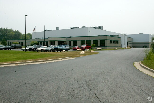
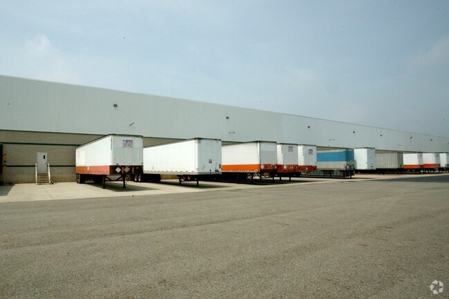
Property Record
300 Buckner Rd, Battle Creek, MI 49037

NEARBY LISTINGS FOR SALE OR LEASE
Property Detail
300 Buckner Rd
0617-19-539-0
SEC 17 T2S R8W COMM SW SEC COR - N 89 DEG 57 MIN 32 SEC E ALG S SEC LI 433.03 FT - N 00 DEG 54 MIN 42 SEC W ALG ELY LI OF MLK
Manufacturinglight
Calhoun
X
Michigan
26077C0250E
744
0
24.50 AC
2025
Battle Crk/W Calhoun Cnty
002600
West Michigan
123,918 SF
Battle Creek, MI
DEMOGRAPHICS near 300 Buckner Rd
1 Mile
3 Mile
5 Mile
2024 Total Population
66
12,340
46,852
2029 Population
64
12,175
46,371
Pop Growth 2024-2029
(3.03%)
(1.34%)
(1.03%)
Average Age
43
39
40
2024 Total Households
23
4,928
19,064
HH Growth 2024-2029
0.00%
(1.40%)
(1.06%)
Median Household Inc
$112,500
$54,087
$51,646
Avg Household Size
2.70
2.40
2.30
2024 Avg HH Vehicles
2.00
2.00
2.00
Median Home Value
$220,000
$134,359
$129,762
Median Year Built
1993
1963
1959
Nearby Places
Map Layers
Map Styles
 Street
 Aerial
- Restaurants
- Banks
- Shops
- Fitness
- Groceries
PUBLIC TRANSPORTATION
AIRPORT
Kalamazoo/Battle Creek International
DRIVE
WALK
Distance
Kalamazoo/Battle Creek International
29 min
18.5 mi
Nearby Properties
Address
Land Use
TOTAL SIZE
Lot Size
Zoning
Address
Land Use
TOTAL SIZE
Lot Size
Zoning
1,279,617 SF
86.82 AC
I2
Address
Land Use
TOTAL SIZE
Lot Size
Zoning
158,242 SF
28.01 AC
B1
Address
Land Use
TOTAL SIZE
Lot Size
Zoning
183,198 SF
17.72 AC
RM-1
Address
Land Use
TOTAL SIZE
Lot Size
Zoning
270,000 SF
24.29 AC
I2
Address
Land Use
TOTAL SIZE
Lot Size
Zoning
123,060 SF
10.53 AC
I2
Address
Land Use
TOTAL SIZE
Lot Size
Zoning
131,048 SF
12.28 AC
R1A
Address
Land Use
TOTAL SIZE
Lot Size
Zoning
415,320 SF
50.04 AC
I2
Address
Land Use
TOTAL SIZE
Lot Size
Zoning
111,002 SF
AG
Address
Land Use
TOTAL SIZE
Lot Size
Zoning
158,242 SF
25.25 AC
B1
Address
Land Use
TOTAL SIZE
Lot Size
Zoning
252,000 SF
34.57 AC
I2
Address
Land Use
TOTAL SIZE
Lot Size
Zoning
308,395 SF
24.34 AC
I2
Address
Land Use
TOTAL SIZE
Lot Size
Zoning
191,315 SF
11.29 AC
I2
Address
Land Use
TOTAL SIZE
Lot Size
Zoning
191,099 SF
29.08 AC
I2
Address
Land Use
TOTAL SIZE
Lot Size
Zoning
199,664 SF
24.70 AC
I2
Address
Land Use
TOTAL SIZE
Lot Size
Zoning
161,104 SF
38.28 AC
I2
Address
Land Use
TOTAL SIZE
Lot Size
Zoning
196,225 SF
17.73 AC
I2
Address
Land Use
TOTAL SIZE
Lot Size
Zoning
94,222 SF
I2
Address
Land Use
TOTAL SIZE
Lot Size
Zoning
127,365 SF
9 AC
I2
Address
Land Use
TOTAL SIZE
Lot Size
Zoning
188,388 SF
18.15 AC
T3
Address
Land Use
TOTAL SIZE
Lot Size
Zoning
111,744 SF
9.75 AC
RM-1
Address
Land Use
TOTAL SIZE
Lot Size
Zoning
95,666 SF
46.56 AC
I1
Address
Land Use
TOTAL SIZE
Lot Size
Zoning
99,816 SF
22.44 AC
I2
Address
Land Use
TOTAL SIZE
Lot Size
Zoning
123,544 SF
17.11 AC
I2
Address
Land Use
TOTAL SIZE
Lot Size
Zoning
157,819 SF
21.09 AC
I2
Address
Land Use
TOTAL SIZE
Lot Size
Zoning
85,800 SF
Address
Land Use
TOTAL SIZE
Lot Size
Zoning
50,000 SF
8.48 AC
R-2
Address
Land Use
TOTAL SIZE
Lot Size
Zoning
225,000 SF
21.84 AC
I2
Address
Land Use
TOTAL SIZE
Lot Size
Zoning
123,288 SF
20.62 AC
I2
Address
Land Use
TOTAL SIZE
Lot Size
Zoning
56,143 SF
18.01 AC
I2
The World's #1 Commercial Real Estate Marketplace
Connect with us
© 2026 CoStar Group
The information above has been obtained from sources believed reliable. While we do not doubt its accuracy we have not verified it and make no guarantee, warranty or representation about it. It is your responsibility to independently confirm its accuracy and completeness. Any projections, opinions, assumptions, or estimates used are for example only and do not represent the current or future performance of the property. The value of this transaction to you depends on tax and other factors which should be evaluated by your tax, financial, and legal advisors. You and your advisors should conduct a careful, independent investigation of the property to determine to your satisfaction the suitability of the property for your needs.