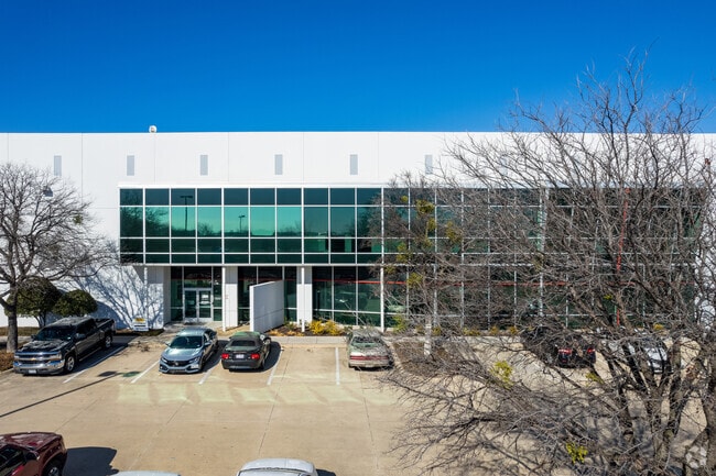
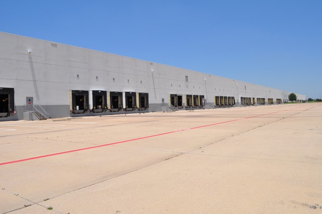
Property Record
300 Gateway Pkwy, Roanoke, TX 76262

Property Detail
300 Gateway Pkwy
Dallas-Fort Worth-Arlington, TX
ALLIANCE GATEWAY NORTH ADDN BLK 6 LOT 1
R215436
DENTON
Commercialnec
Texas
B and X Area of moderate flood hazard, usually the area between the limits of the 100-year and 500-year floods.
1
2024
30.05 AC
2025
NE Tarrant/Alliance
020312
Dallas/Ft Worth
611,932 SF
NEARBY LISTINGS FOR SALE OR LEASE
DEMOGRAPHICS near 300 Gateway Pkwy
1 mile
3 mile
5 mile
2024 Total Population
6,017
40,551
109,897
2029 Population
6,898
45,043
119,477
Pop Growth 2024-2029
+ 14.64%
+ 11.08%
+ 8.72%
Average Age
37
38
38
2024 Total Households
2,625
13,887
37,246
HH Growth 2024-2029
+ 14.90%
+ 11.58%
+ 9.05%
Median Household Inc
$93,513
$145,467
$132,702
Avg Household Size
2.30
2.90
2.90
2024 Avg HH Vehicles
2.00
2.00
2.00
Median Home Value
$638,145
$624,335
$520,940
Median Year Built
2004
2009
2007
Nearby Places
Map Layers
Map Styles
 Street
 Aerial
Transit
 Traffic
 Biking
Places
Listings with unknown addresses are not visible on the map
- Restaurants
- Banks
- Shops
- Fitness
- Groceries
PUBLIC TRANSPORTATION
AIRPORT
Dallas-Fort Worth International
Drive
Walk
Distance
Dallas-Fort Worth International
25 min
17.4 mi
Dallas Love Field
Drive
Walk
Distance
Dallas Love Field
44 min
31.1 mi
Freight Ports
Port of Shreveport
Drive
Walk
Distance
Port of Shreveport
253 min
230.9 mi
SALE & LEASE HISTORY
LISTING DATE
SALE/LEASE

Jan 18, 2017
For Lease
Aug 07, 2017
For Sale
Nearby Properties
Address
Land Use
TOTAL SIZE
Lot Size
Zoning
Address
Land Use
TOTAL SIZE
Lot Size
Zoning
1,542,470 SF
147.33 AC
Address
Land Use
TOTAL SIZE
Lot Size
Zoning
1,213,448 SF
59.10 AC
Address
Land Use
TOTAL SIZE
Lot Size
Zoning
1,315,600 SF
106.95 AC
Address
Land Use
TOTAL SIZE
Lot Size
Zoning
413,316 SF
22.96 AC
Address
Land Use
TOTAL SIZE
Lot Size
Zoning
470,000 SF
11.91 AC
Address
Land Use
TOTAL SIZE
Lot Size
Zoning
495,170 SF
14.02 AC
Address
Land Use
TOTAL SIZE
Lot Size
Zoning
1,217,200 SF
56.35 AC
Address
Land Use
TOTAL SIZE
Lot Size
Zoning
455,935 SF
57.27 AC
Address
Land Use
TOTAL SIZE
Lot Size
Zoning
819,327 SF
143.07 AC
Address
Land Use
TOTAL SIZE
Lot Size
Zoning
442,788 SF
29.38 AC
Address
Land Use
TOTAL SIZE
Lot Size
Zoning
261,836 SF
33.32 AC
Address
Land Use
TOTAL SIZE
Lot Size
Zoning
261,836 SF
51.66 AC
Address
Land Use
TOTAL SIZE
Lot Size
Zoning
1,111,500 SF
59.87 AC
Address
Land Use
TOTAL SIZE
Lot Size
Zoning
254,250 SF
6.21 AC
Address
Land Use
TOTAL SIZE
Lot Size
Zoning
1,012,040 SF
58.69 AC
Address
Land Use
TOTAL SIZE
Lot Size
Zoning
1,420,661 SF
40.78 AC
Address
Land Use
TOTAL SIZE
Lot Size
Zoning
301,718 SF
18.12 AC
10 G
Address
Land Use
TOTAL SIZE
Lot Size
Zoning
542,880 SF
28.13 AC
Address
Land Use
TOTAL SIZE
Lot Size
Zoning
1,010,969 SF
76.73 AC
Address
Land Use
TOTAL SIZE
Lot Size
Zoning
815,370 SF
41.27 AC
Address
Land Use
TOTAL SIZE
Lot Size
Zoning
783,000 SF
41.56 AC
Address
Land Use
TOTAL SIZE
Lot Size
Zoning
756,351 SF
33 AC
Address
Land Use
TOTAL SIZE
Lot Size
Zoning
291,475 SF
2.63 AC
Address
Land Use
TOTAL SIZE
Lot Size
Zoning
860,100 SF
40.02 AC
Address
Land Use
TOTAL SIZE
Lot Size
Zoning
756,351 SF
33 AC
Address
Land Use
TOTAL SIZE
Lot Size
Zoning
371,473 SF
82.85 AC
Address
Land Use
TOTAL SIZE
Lot Size
Zoning
667,152 SF
34.50 AC
Address
Land Use
TOTAL SIZE
Lot Size
Zoning
448,068 SF
34.33 AC
Address
Land Use
TOTAL SIZE
Lot Size
Zoning
614,640 SF
45.14 AC
Address
Land Use
TOTAL SIZE
Lot Size
Zoning
406,860 SF
10.54 AC
The World's #1 Commercial Real Estate Marketplace
Connect with us
© 2026 CoStar Group
The information above has been obtained from sources believed reliable. While we do not doubt its accuracy we have not verified it and make no guarantee, warranty or representation about it. It is your responsibility to independently confirm its accuracy and completeness. Any projections, opinions, assumptions, or estimates used are for example only and do not represent the current or future performance of the property. The value of this transaction to you depends on tax and other factors which should be evaluated by your tax, financial, and legal advisors. You and your advisors should conduct a careful, independent investigation of the property to determine to your satisfaction the suitability of the property for your needs.