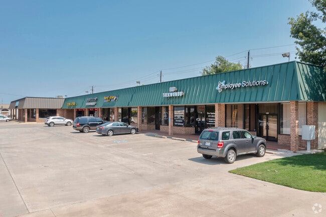
Property Record
300 N Highway 377, Roanoke, TX 76262
NEARBY LISTINGS FOR SALE OR LEASE
Property Detail
300 N Highway 377
Dallas-Fort Worth-Arlington, TX
O T Roanoke
R163026
O T ROANOKE BLK 20 LOT 5(PT)
Commercialacreage
Denton
X
Texas
48121C0515G
5
2024
0.08 AC
2025
Trophy/Roanoke/W'Lake
020311
Dallas/Ft Worth
DEMOGRAPHICS near 300 N Highway 377
1 Mile
3 Mile
5 Mile
2024 Total Population
6,153
37,292
105,724
2029 Population
7,519
43,936
118,459
Pop Growth 2024-2029
+ 22.20%
+ 17.82%
+ 12.05%
Average Age
38
38
37
2024 Total Households
2,700
12,845
35,779
HH Growth 2024-2029
+ 22.89%
+ 18.71%
+ 12.62%
Median Household Inc
$100,510
$128,839
$120,953
Avg Household Size
2.20
2.90
2.90
2024 Avg HH Vehicles
2.00
2.00
2.00
Median Home Value
$314,391
$472,330
$419,699
Median Year Built
1999
2007
2005
Nearby Places
Map Layers
Map Styles
 Street
 Aerial
- Restaurants
- Banks
- Shops
- Fitness
- Groceries
PUBLIC TRANSPORTATION
AIRPORT
Dallas-Fort Worth International
DRIVE
WALK
Distance
Dallas-Fort Worth International
22 min
16.1 mi
Dallas Love Field
DRIVE
WALK
Distance
Dallas Love Field
40 min
29.9 mi
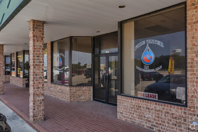
SALE & LEASE HISTORY
LISTING DATE
SALE/LEASE

Sep 25, 2016
For Lease
Nov 15, 2021
For Lease
Nov 02, 2022
For Lease
Nearby Properties
Address
Land Use
TOTAL SIZE
Lot Size
Zoning
Address
Land Use
TOTAL SIZE
Lot Size
Zoning
1,542,470 SF
147.33 AC
Address
Land Use
TOTAL SIZE
Lot Size
Zoning
1,213,448 SF
59.10 AC
Address
Land Use
TOTAL SIZE
Lot Size
Zoning
1,315,600 SF
106.95 AC
Address
Land Use
TOTAL SIZE
Lot Size
Zoning
413,316 SF
22.96 AC
Address
Land Use
TOTAL SIZE
Lot Size
Zoning
470,000 SF
11.91 AC
Address
Land Use
TOTAL SIZE
Lot Size
Zoning
495,170 SF
14.02 AC
Address
Land Use
TOTAL SIZE
Lot Size
Zoning
1,217,200 SF
56.35 AC
Address
Land Use
TOTAL SIZE
Lot Size
Zoning
455,935 SF
57.27 AC
Address
Land Use
TOTAL SIZE
Lot Size
Zoning
819,327 SF
143.07 AC
Address
Land Use
TOTAL SIZE
Lot Size
Zoning
261,836 SF
33.32 AC
Address
Land Use
TOTAL SIZE
Lot Size
Zoning
261,836 SF
51.66 AC
Address
Land Use
TOTAL SIZE
Lot Size
Zoning
254,250 SF
6.21 AC
Address
Land Use
TOTAL SIZE
Lot Size
Zoning
1,603,686 SF
81.43 AC
Address
Land Use
TOTAL SIZE
Lot Size
Zoning
1,420,661 SF
40.78 AC
Address
Land Use
TOTAL SIZE
Lot Size
Zoning
301,718 SF
18.12 AC
10 G
Address
Land Use
TOTAL SIZE
Lot Size
Zoning
542,880 SF
28.13 AC
Address
Land Use
TOTAL SIZE
Lot Size
Zoning
1,010,969 SF
76.73 AC
Address
Land Use
TOTAL SIZE
Lot Size
Zoning
815,370 SF
41.27 AC
Address
Land Use
TOTAL SIZE
Lot Size
Zoning
756,351 SF
33 AC
Address
Land Use
TOTAL SIZE
Lot Size
Zoning
291,475 SF
2.63 AC
Address
Land Use
TOTAL SIZE
Lot Size
Zoning
860,100 SF
40.02 AC
Address
Land Use
TOTAL SIZE
Lot Size
Zoning
756,351 SF
33 AC
Address
Land Use
TOTAL SIZE
Lot Size
Zoning
371,473 SF
82.85 AC
Address
Land Use
TOTAL SIZE
Lot Size
Zoning
667,152 SF
34.50 AC
Address
Land Use
TOTAL SIZE
Lot Size
Zoning
448,068 SF
34.33 AC
Address
Land Use
TOTAL SIZE
Lot Size
Zoning
406,860 SF
10.54 AC
Address
Land Use
TOTAL SIZE
Lot Size
Zoning
756,180 SF
39.10 AC
Address
Land Use
TOTAL SIZE
Lot Size
Zoning
569,365 SF
68.61 AC
Address
Land Use
TOTAL SIZE
Lot Size
Zoning
607,962 SF
36.39 AC
Address
Land Use
TOTAL SIZE
Lot Size
Zoning
611,932 SF
30.05 AC
The World's #1 Commercial Real Estate Marketplace
Connect with us
© 2026 CoStar Group
The information above has been obtained from sources believed reliable. While we do not doubt its accuracy we have not verified it and make no guarantee, warranty or representation about it. It is your responsibility to independently confirm its accuracy and completeness. Any projections, opinions, assumptions, or estimates used are for example only and do not represent the current or future performance of the property. The value of this transaction to you depends on tax and other factors which should be evaluated by your tax, financial, and legal advisors. You and your advisors should conduct a careful, independent investigation of the property to determine to your satisfaction the suitability of the property for your needs.