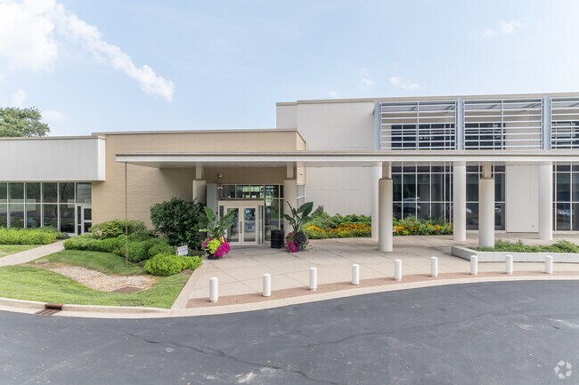
Property Record
300 N Main St, Versailles, KY 40383


Property Detail
300 N Main St
30-0000-029-00
Woodford
Taxexempt
Kentucky
B and X Area of moderate flood hazard, usually the area between the limits of the 100-year and 500-year floods.
14.97 AC
2025
Woodford County
2025
Lexington/Fayette
050104
Lexington-Fayette, KY
NEARBY LISTINGS FOR SALE OR LEASE
-
-
View all Versailles listings for sale on LoopNet.com
DEMOGRAPHICS near 300 N Main St
1 mile
3 mile
5 mile
2025 Total Population
7,423
18,759
21,317
2030 Population
7,617
19,287
21,896
Pop Growth 2025-2030
+ 2.61%
+ 2.81%
+ 2.72%
Average Age
41
41
42
2025 Total Households
3,128
7,479
8,523
HH Growth 2025-2030
+ 2.69%
+ 2.85%
+ 2.76%
Median Household Inc
$57,983
$72,086
$76,554
Avg Household Size
2.30
2.40
2.40
2025 Avg HH Vehicles
2.00
2.00
2.00
Median Home Value
$210,324
$277,886
$283,186
Median Year Built
1980
1985
1984
Nearby Places
Map Layers
Map Styles
 Street
 Aerial
Layers
 Traffic
 Biking
Places
Listings with unknown addresses are not visible on the map
- Restaurants
- Banks
- Shops
- Fitness
- Groceries
PUBLIC TRANSPORTATION
AIRPORT
Blue Grass
Drive
Walk
Distance
Blue Grass
13 min
7.7 mi
Freight Ports
Port of Toledo
Drive
Walk
Distance
Port of Toledo
344 min
293.2 mi
Nearby Properties
Address
Land Use
TOTAL SIZE
Lot Size
Zoning
Address
Land Use
TOTAL SIZE
Lot Size
Zoning
61.25 AC
Address
Land Use
TOTAL SIZE
Lot Size
Zoning
1,456 SF
114.20 AC
A1
Address
Land Use
TOTAL SIZE
Lot Size
Zoning
1,434.73 AC
Address
Land Use
TOTAL SIZE
Lot Size
Zoning
21.49 AC
Address
Land Use
TOTAL SIZE
Lot Size
Zoning
34.67 AC
Address
Land Use
TOTAL SIZE
Lot Size
Zoning
159.11 AC
Address
Land Use
TOTAL SIZE
Lot Size
Zoning
13.31 AC
Address
Land Use
TOTAL SIZE
Lot Size
Zoning
49.38 AC
Address
Land Use
TOTAL SIZE
Lot Size
Zoning
53.70 AC
Address
Land Use
TOTAL SIZE
Lot Size
Zoning
450,000 SF
122.72 AC
Address
Land Use
TOTAL SIZE
Lot Size
Zoning
13.59 AC
Address
Land Use
TOTAL SIZE
Lot Size
Zoning
Address
Land Use
TOTAL SIZE
Lot Size
Zoning
39.06 AC
Address
Land Use
TOTAL SIZE
Lot Size
Zoning
0.89 AC
Address
Land Use
TOTAL SIZE
Lot Size
Zoning
Address
Land Use
TOTAL SIZE
Lot Size
Zoning
0.27 AC
Address
Land Use
TOTAL SIZE
Lot Size
Zoning
1.70 AC
Address
Land Use
TOTAL SIZE
Lot Size
Zoning
1,060,350 SF
63.01 AC
Address
Land Use
TOTAL SIZE
Lot Size
Zoning
53.07 AC
Address
Land Use
TOTAL SIZE
Lot Size
Zoning
399,000 SF
39.28 AC
Address
Land Use
TOTAL SIZE
Lot Size
Zoning
16.21 AC
Address
Land Use
TOTAL SIZE
Lot Size
Zoning
3.31 AC
Address
Land Use
TOTAL SIZE
Lot Size
Zoning
1.80 AC
Address
Land Use
TOTAL SIZE
Lot Size
Zoning
14.72 AC
Address
Land Use
TOTAL SIZE
Lot Size
Zoning
108,800 SF
17.52 AC
Address
Land Use
TOTAL SIZE
Lot Size
Zoning
15,000 SF
7.35 AC
Address
Land Use
TOTAL SIZE
Lot Size
Zoning
6.86 AC
Address
Land Use
TOTAL SIZE
Lot Size
Zoning
399,000 SF
42.04 AC
Address
Land Use
TOTAL SIZE
Lot Size
Zoning
249,552 SF
27.65 AC
The World's #1 Commercial Real Estate Marketplace
Connect with us
© 2026 CoStar Group
The information above has been obtained from sources believed reliable. While we do not doubt its accuracy we have not verified it and make no guarantee, warranty or representation about it. It is your responsibility to independently confirm its accuracy and completeness. Any projections, opinions, assumptions, or estimates used are for example only and do not represent the current or future performance of the property. The value of this transaction to you depends on tax and other factors which should be evaluated by your tax, financial, and legal advisors. You and your advisors should conduct a careful, independent investigation of the property to determine to your satisfaction the suitability of the property for your needs.