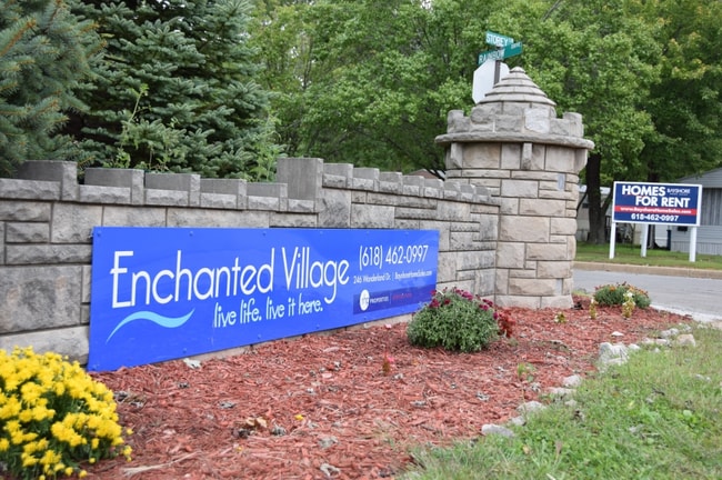
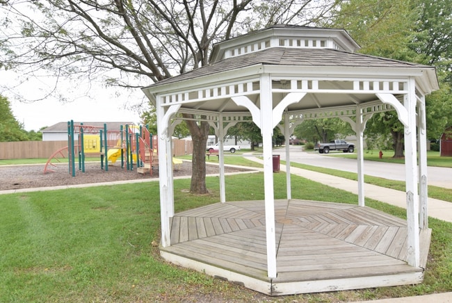
Property Record
300 Poppins Pl, Alton, IL 62002

NEARBY LISTINGS FOR SALE OR LEASE
-
-
View all Alton listings for sale on LoopNet.com
Property Detail
300 Poppins Pl
St. Louis, MO-IL
Culp Sterling Subdivision
23-1-08-03-00-000-006
TR SW/C NW
Gardenaptcourtapt5plusunits
Madison
2024
Illinois
2024
30.26 AC
401701
Cottage Hills
2,400 SF
St. Louis
DEMOGRAPHICS near 300 Poppins Pl
1 Mile
3 Mile
5 Mile
2024 Total Population
1,951
27,051
65,967
2029 Population
1,942
26,828
65,399
Pop Growth 2024-2029
(0.46%)
(0.82%)
(0.86%)
Average Age
37
42
42
2024 Total Households
730
11,580
28,494
HH Growth 2024-2029
(0.55%)
(0.88%)
(0.91%)
Median Household Inc
$51,329
$55,569
$58,013
Avg Household Size
2.50
2.30
2.20
2024 Avg HH Vehicles
2.00
2.00
2.00
Median Home Value
$106,429
$105,317
$117,323
Median Year Built
1989
1957
1958
Nearby Places
Map Layers
Map Styles
 Street
 Aerial
- Restaurants
- Banks
- Shops
- Fitness
- Groceries
PUBLIC TRANSPORTATION
COMMUTER RAIL
Alton Amtrak Station (Lincoln Service - Amtrak, Lincoln Service Missouri River Runner - Amtrak, Texas Eagle - Amtrak)
DRIVE
WALK
Distance
Alton Amtrak Station (Lincoln Service - Amtrak, Lincoln Service Missouri River Runner - Amtrak, Texas Eagle - Amtrak)
11 min
5.7 mi
AIRPORT
St Louis Lambert International
DRIVE
WALK
Distance
St Louis Lambert International
38 min
24.5 mi
Scott AFB/Midamerica St Louis
DRIVE
WALK
Distance
Scott AFB/Midamerica St Louis
60 min
41.4 mi
Freight Ports
Port Milwaukee
DRIVE
WALK
Distance
Port Milwaukee
406 min
354.2 mi
Nearby Properties
Address
Land Use
TOTAL SIZE
Lot Size
Zoning
Address
Land Use
TOTAL SIZE
Lot Size
Zoning
58,990 SF
11.77 AC
Address
Land Use
TOTAL SIZE
Lot Size
Zoning
66,140 SF
9.79 AC
Address
Land Use
TOTAL SIZE
Lot Size
Zoning
58,900 SF
2.05 AC
Address
Land Use
TOTAL SIZE
Lot Size
Zoning
87,624 SF
4.28 AC
Address
Land Use
TOTAL SIZE
Lot Size
Zoning
75,312 SF
4.35 AC
Address
Land Use
TOTAL SIZE
Lot Size
Zoning
64,260 SF
3.90 AC
Address
Land Use
TOTAL SIZE
Lot Size
Zoning
55,020 SF
2.85 AC
Address
Land Use
TOTAL SIZE
Lot Size
Zoning
3,600 SF
59.53 AC
Address
Land Use
TOTAL SIZE
Lot Size
Zoning
21,614 SF
0.62 AC
Address
Land Use
TOTAL SIZE
Lot Size
Zoning
10,440 SF
1.91 AC
Address
Land Use
TOTAL SIZE
Lot Size
Zoning
89,691 SF
7.78 AC
Address
Land Use
TOTAL SIZE
Lot Size
Zoning
14,583 SF
2.37 AC
Address
Land Use
TOTAL SIZE
Lot Size
Zoning
35,604 SF
0.68 AC
Address
Land Use
TOTAL SIZE
Lot Size
Zoning
41,203 SF
Address
Land Use
TOTAL SIZE
Lot Size
Zoning
231.92 AC
Address
Land Use
TOTAL SIZE
Lot Size
Zoning
36,200 SF
4.42 AC
Address
Land Use
TOTAL SIZE
Lot Size
Zoning
Address
Land Use
TOTAL SIZE
Lot Size
Zoning
297 SF
54.82 AC
Address
Land Use
TOTAL SIZE
Lot Size
Zoning
117,924 SF
28.77 AC
Address
Land Use
TOTAL SIZE
Lot Size
Zoning
Address
Land Use
TOTAL SIZE
Lot Size
Zoning
8,992 SF
2 AC
Address
Land Use
TOTAL SIZE
Lot Size
Zoning
12,484 SF
0.35 AC
Address
Land Use
TOTAL SIZE
Lot Size
Zoning
24,080 SF
10.70 AC
Address
Land Use
TOTAL SIZE
Lot Size
Zoning
Address
Land Use
TOTAL SIZE
Lot Size
Zoning
166.90 AC
Address
Land Use
TOTAL SIZE
Lot Size
Zoning
3,780 SF
6.63 AC
Address
Land Use
TOTAL SIZE
Lot Size
Zoning
4,461 SF
1.19 AC
Address
Land Use
TOTAL SIZE
Lot Size
Zoning
4,636 SF
0.79 AC
Address
Land Use
TOTAL SIZE
Lot Size
Zoning
1,272 SF
1.56 AC
Address
Land Use
TOTAL SIZE
Lot Size
Zoning
14,748 SF
1.46 AC
The World's #1 Commercial Real Estate Marketplace
Connect with us
© 2025 CoStar Group
The information above has been obtained from sources believed reliable. While we do not doubt its accuracy we have not verified it and make no guarantee, warranty or representation about it. It is your responsibility to independently confirm its accuracy and completeness. Any projections, opinions, assumptions, or estimates used are for example only and do not represent the current or future performance of the property. The value of this transaction to you depends on tax and other factors which should be evaluated by your tax, financial, and legal advisors. You and your advisors should conduct a careful, independent investigation of the property to determine to your satisfaction the suitability of the property for your needs.