Property Record
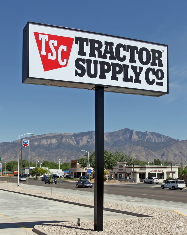
300 W Highway 550, Bernalillo, NM 87004


Property Detail
300 W Highway 550
1-019-074-513-176
LEGAL: S: 30 T: 13N R: 4E SUBD: LANDS OF BLACKWELL BILL TRACT: A25B1
Vacantlandnec
SANDOVAL
A Areas with a 1% annual chance of flooding and a 26% chance of flooding over the life of a 30-year mortgage.
New Mexico
2024
2.92 AC
2025
North Outlying
010503
Albuquerque
19,252 SF
Albuquerque, NM
NEARBY LISTINGS FOR SALE OR LEASE
DEMOGRAPHICS near 300 W Highway 550
1 mile
3 mile
5 mile
2025 Total Population
2,966
24,629
39,374
2030 Population
3,090
26,482
41,987
Pop Growth 2025-2030
+ 4.18%
+ 7.52%
+ 6.64%
Average Age
44
43
44
2025 Total Households
1,193
9,553
14,981
HH Growth 2025-2030
+ 4.02%
+ 7.30%
+ 6.55%
Median Household Inc
$71,566
$75,137
$88,886
Avg Household Size
2.40
2.50
2.60
2025 Avg HH Vehicles
2.00
2.00
2.00
Median Home Value
$320,675
$323,348
$355,044
Median Year Built
1980
2001
2001
Nearby Places
Map Layers
Map Styles
 Street
 Aerial
Layers
 Traffic
 Biking
Places
Listings with unknown addresses are not visible on the map
- Restaurants
- Banks
- Shops
- Fitness
- Groceries
PUBLIC TRANSPORTATION
COMMUTER RAIL
Sandoval County/U.S. 550 Rail Runner Station (NMRX - Rio Metro Regional Transit District)
Drive
Walk
Distance
Sandoval County/U.S. 550 Rail Runner Station (NMRX - Rio Metro Regional Transit District)
3 min
1.1 mi
Downtown Bernalillo Rail Runner Station (NMRX - Rio Metro Regional Transit District)
Drive
Walk
Distance
Downtown Bernalillo Rail Runner Station (NMRX - Rio Metro Regional Transit District)
4 min
1.7 mi
AIRPORT
Albuquerque International Sunport
Drive
Walk
Distance
Albuquerque International Sunport
42 min
24.0 mi
Freight Ports
Tulsa Port Of Catoosa
Drive
Walk
Distance
Tulsa Port Of Catoosa
706 min
675.3 mi
Nearby Properties
Address
Land Use
TOTAL SIZE
Lot Size
Zoning
Address
Land Use
TOTAL SIZE
Lot Size
Zoning
146,718 SF
56.01 AC
Address
Land Use
TOTAL SIZE
Lot Size
Zoning
150,042 SF
29.09 AC
Address
Land Use
TOTAL SIZE
Lot Size
Zoning
198,315 SF
11.16 AC
Address
Land Use
TOTAL SIZE
Lot Size
Zoning
117,159 SF
5.97 AC
Address
Land Use
TOTAL SIZE
Lot Size
Zoning
94,863 SF
12.12 AC
Address
Land Use
TOTAL SIZE
Lot Size
Zoning
126,581 SF
10.98 AC
Address
Land Use
TOTAL SIZE
Lot Size
Zoning
130,230 SF
21.47 AC
Address
Land Use
TOTAL SIZE
Lot Size
Zoning
126,435 SF
5.88 AC
Address
Land Use
TOTAL SIZE
Lot Size
Zoning
151,857 SF
8.49 AC
Address
Land Use
TOTAL SIZE
Lot Size
Zoning
102,963 SF
12.99 AC
Address
Land Use
TOTAL SIZE
Lot Size
Zoning
219,662 SF
20.71 AC
Address
Land Use
TOTAL SIZE
Lot Size
Zoning
85,513 SF
24.89 AC
Address
Land Use
TOTAL SIZE
Lot Size
Zoning
76,842 SF
14.02 AC
Address
Land Use
TOTAL SIZE
Lot Size
Zoning
105,065 SF
4.26 AC
Address
Land Use
TOTAL SIZE
Lot Size
Zoning
86,089 SF
14.29 AC
Address
Land Use
TOTAL SIZE
Lot Size
Zoning
73,287 SF
3.15 AC
Address
Land Use
TOTAL SIZE
Lot Size
Zoning
57,960 SF
5.28 AC
Address
Land Use
TOTAL SIZE
Lot Size
Zoning
151,857 SF
9.19 AC
Address
Land Use
TOTAL SIZE
Lot Size
Zoning
58,121 SF
4.35 AC
Address
Land Use
TOTAL SIZE
Lot Size
Zoning
153,238 SF
11.31 AC
Address
Land Use
TOTAL SIZE
Lot Size
Zoning
106,706 SF
9.78 AC
Address
Land Use
TOTAL SIZE
Lot Size
Zoning
Address
Land Use
TOTAL SIZE
Lot Size
Zoning
63,613 SF
6.82 AC
Address
Land Use
TOTAL SIZE
Lot Size
Zoning
265,897 SF
62.04 AC
Address
Land Use
TOTAL SIZE
Lot Size
Zoning
118,218 SF
4.52 AC
Address
Land Use
TOTAL SIZE
Lot Size
Zoning
12,535 SF
12.30 AC
Address
Land Use
TOTAL SIZE
Lot Size
Zoning
62,274 SF
11.28 AC
Address
Land Use
TOTAL SIZE
Lot Size
Zoning
36,830 SF
3.94 AC
Address
Land Use
TOTAL SIZE
Lot Size
Zoning
The World's #1 Commercial Real Estate Marketplace
Connect with us
© 2026 CoStar Group
The information above has been obtained from sources believed reliable. While we do not doubt its accuracy we have not verified it and make no guarantee, warranty or representation about it. It is your responsibility to independently confirm its accuracy and completeness. Any projections, opinions, assumptions, or estimates used are for example only and do not represent the current or future performance of the property. The value of this transaction to you depends on tax and other factors which should be evaluated by your tax, financial, and legal advisors. You and your advisors should conduct a careful, independent investigation of the property to determine to your satisfaction the suitability of the property for your needs.