Property Record
3003 Morrison Moore Pkwy E, Dahlonega, GA 30533


Current Lease Availabilities
NEARBY LISTINGS FOR SALE OR LEASE
-
-
View all Dahlonega listings for lease on LoopNet.com
Property Detail
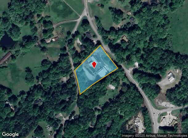
3003 Morrison Moore Pkwy E
077-000-050-000
Commer Rural@75K Ac
Storesoffices
2.84 ACS LL 1059 1020 LD 12-1
X
Lumpkin
13187C0154D
Georgia
2024
2.84 AC
2024
Alpharetta/North
960106
Other Market Areas
6,400 SF
Atlanta-Sandy Springs-Roswell, GA
DEMOGRAPHICS near 3003 Morrison Moore Pkwy E
1 Mile
3 Mile
5 Mile
2024 Total Population
955
8,283
16,790
2029 Population
1,072
9,251
18,756
Pop Growth 2024-2029
+ 12.25%
+ 11.69%
+ 11.71%
Average Age
43
37
38
2024 Total Households
380
2,729
5,534
HH Growth 2024-2029
+ 12.11%
+ 12.06%
+ 12.03%
Median Household Inc
$82,353
$64,405
$64,037
Avg Household Size
2.40
2.30
2.40
2024 Avg HH Vehicles
3.00
2.00
2.00
Median Home Value
$405,046
$289,888
$281,472
Median Year Built
1993
1993
1995
Nearby Places
Map Layers
Map Styles
 Street
 Aerial
- Restaurants
- Banks
- Shops
- Fitness
- Groceries
Nearby Properties
Address
Land Use
TOTAL SIZE
Lot Size
Zoning
Address
Land Use
TOTAL SIZE
Lot Size
Zoning
145,664 SF
21.41 AC
I
Address
Land Use
TOTAL SIZE
Lot Size
Zoning
100.07 AC
OI/PUD
Address
Land Use
TOTAL SIZE
Lot Size
Zoning
42,660 SF
1.63 AC
PI
Address
Land Use
TOTAL SIZE
Lot Size
Zoning
58,304 SF
6.87 AC
B2
Address
Land Use
TOTAL SIZE
Lot Size
Zoning
144,208 SF
20.88 AC
B2/OI
Address
Land Use
TOTAL SIZE
Lot Size
Zoning
51,312 SF
0.58 AC
B3
Address
Land Use
TOTAL SIZE
Lot Size
Zoning
44.28 AC
R1
Address
Land Use
TOTAL SIZE
Lot Size
Zoning
24,282 SF
27.53 AC
PI
Address
Land Use
TOTAL SIZE
Lot Size
Zoning
140,760 SF
68.83 AC
I/R1
Address
Land Use
TOTAL SIZE
Lot Size
Zoning
1,852 SF
7.33 AC
R1
Address
Land Use
TOTAL SIZE
Lot Size
Zoning
2.19 AC
B2
Address
Land Use
TOTAL SIZE
Lot Size
Zoning
4,086 SF
3.50 AC
CP
Address
Land Use
TOTAL SIZE
Lot Size
Zoning
53,400 SF
0.96 AC
B2
Address
Land Use
TOTAL SIZE
Lot Size
Zoning
5,120 SF
7.63 AC
PUD
Address
Land Use
TOTAL SIZE
Lot Size
Zoning
12,096 SF
3.77 AC
R3/R1
Address
Land Use
TOTAL SIZE
Lot Size
Zoning
15,267 SF
1.07 AC
B2
Address
Land Use
TOTAL SIZE
Lot Size
Zoning
0.33 AC
R1
Address
Land Use
TOTAL SIZE
Lot Size
Zoning
1,440 SF
6.14 AC
R3
Address
Land Use
TOTAL SIZE
Lot Size
Zoning
64,540 SF
7 AC
B2
Address
Land Use
TOTAL SIZE
Lot Size
Zoning
1,152 SF
8.85 AC
R1
Address
Land Use
TOTAL SIZE
Lot Size
Zoning
39,522 SF
2.57 AC
B2
Address
Land Use
TOTAL SIZE
Lot Size
Zoning
12,268 SF
269.74 AC
AP
Address
Land Use
TOTAL SIZE
Lot Size
Zoning
4,640 SF
9.21 AC
PUD
Address
Land Use
TOTAL SIZE
Lot Size
Zoning
213.05 AC
PUD
Address
Land Use
TOTAL SIZE
Lot Size
Zoning
205.21 AC
OI/B2
Address
Land Use
TOTAL SIZE
Lot Size
Zoning
95.37 AC
AP
Address
Land Use
TOTAL SIZE
Lot Size
Zoning
20,504 SF
2.80 AC
B2
Address
Land Use
TOTAL SIZE
Lot Size
Zoning
7,168 SF
2.31 AC
R3
Address
Land Use
TOTAL SIZE
Lot Size
Zoning
4,740 SF
9.13 AC
NVC
Address
Land Use
TOTAL SIZE
Lot Size
Zoning
16,300 SF
5.67 AC
CC
The World's #1 Commercial Real Estate Marketplace
Connect with us
© 2026 CoStar Group
The information above has been obtained from sources believed reliable. While we do not doubt its accuracy we have not verified it and make no guarantee, warranty or representation about it. It is your responsibility to independently confirm its accuracy and completeness. Any projections, opinions, assumptions, or estimates used are for example only and do not represent the current or future performance of the property. The value of this transaction to you depends on tax and other factors which should be evaluated by your tax, financial, and legal advisors. You and your advisors should conduct a careful, independent investigation of the property to determine to your satisfaction the suitability of the property for your needs.