Property Record
Stacie Ln, Shepherdsville, KY 40165


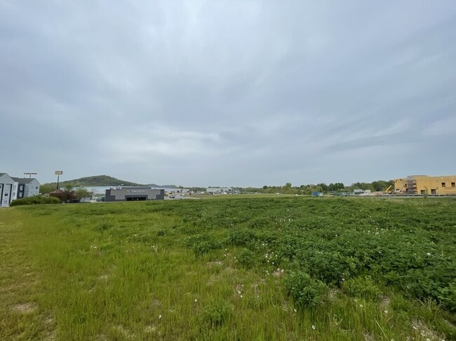
Property Detail
Stacie Ln
Louisville/Jefferson County, KY-IN
LT 4 REV BRENTON LAYNE COMMERCE CENTRE
422999
BULLITT
Commercialacreage
Kentucky
B and X Area of moderate flood hazard, usually the area between the limits of the 100-year and 500-year floods.
4
2025
1.73 AC
2025
Bullitt County
020702
Louisville
NEARBY LISTINGS FOR SALE OR LEASE
DEMOGRAPHICS near Stacie Ln
1 mile
3 mile
5 mile
2025 Total Population
6,035
32,130
86,936
2030 Population
6,210
33,339
89,611
Pop Growth 2025-2030
+ 2.90%
+ 3.76%
+ 3.08%
Average Age
43
42
40
2025 Total Households
2,336
12,771
33,612
HH Growth 2025-2030
+ 2.95%
+ 3.78%
+ 3.11%
Median Household Inc
$70,145
$65,668
$68,746
Avg Household Size
2.50
2.50
2.50
2025 Avg HH Vehicles
2.00
2.00
2.00
Median Home Value
$212,348
$216,682
$222,980
Median Year Built
1984
1984
1985
Nearby Places
Map Layers
Map Styles
 Street
 Aerial
Layers
 Traffic
 Biking
Places
Listings with unknown addresses are not visible on the map
- Restaurants
- Banks
- Shops
- Fitness
- Groceries
PUBLIC TRANSPORTATION
AIRPORT
Louisville Muhammad Ali International
Drive
Walk
Distance
Louisville Muhammad Ali International
17 min
10.3 mi
Freight Ports
Port of Toledo
Drive
Walk
Distance
Port of Toledo
369 min
317.4 mi
SALE & LEASE HISTORY
LISTING DATE
SALE/LEASE

Sep 13, 2022
For Sale
May 09, 2019
For Sale
Nearby Properties
Address
Land Use
TOTAL SIZE
Lot Size
Zoning
Address
Land Use
TOTAL SIZE
Lot Size
Zoning
21.73 AC
Address
Land Use
TOTAL SIZE
Lot Size
Zoning
45.17 AC
Address
Land Use
TOTAL SIZE
Lot Size
Zoning
15 AC
C2-COMMERC
Address
Land Use
TOTAL SIZE
Lot Size
Zoning
Address
Land Use
TOTAL SIZE
Lot Size
Zoning
2,767 SF
14.38 AC
R7-RESIDEN
Address
Land Use
TOTAL SIZE
Lot Size
Zoning
12,972 SF
28.36 AC
R6-RESIDEN
Address
Land Use
TOTAL SIZE
Lot Size
Zoning
29.36 AC
Address
Land Use
TOTAL SIZE
Lot Size
Zoning
253,951 SF
74.36 AC
Address
Land Use
TOTAL SIZE
Lot Size
Zoning
396,422 SF
23.30 AC
PEC-PLANNE
Address
Land Use
TOTAL SIZE
Lot Size
Zoning
500,000 SF
27.89 AC
Address
Land Use
TOTAL SIZE
Lot Size
Zoning
402,560 SF
23.70 AC
PEC-PLANNE
Address
Land Use
TOTAL SIZE
Lot Size
Zoning
500,000 SF
33.27 AC
PEC-PLANNE
Address
Land Use
TOTAL SIZE
Lot Size
Zoning
Address
Land Use
TOTAL SIZE
Lot Size
Zoning
297,024 SF
14.08 AC
Address
Land Use
TOTAL SIZE
Lot Size
Zoning
Address
Land Use
TOTAL SIZE
Lot Size
Zoning
15.25 AC
Address
Land Use
TOTAL SIZE
Lot Size
Zoning
13.24 AC
Address
Land Use
TOTAL SIZE
Lot Size
Zoning
300,000 SF
19.31 AC
PEC-PLANNE
Address
Land Use
TOTAL SIZE
Lot Size
Zoning
Address
Land Use
TOTAL SIZE
Lot Size
Zoning
Address
Land Use
TOTAL SIZE
Lot Size
Zoning
1,296 SF
44.67 AC
Address
Land Use
TOTAL SIZE
Lot Size
Zoning
32.90 AC
Address
Land Use
TOTAL SIZE
Lot Size
Zoning
Address
Land Use
TOTAL SIZE
Lot Size
Zoning
Address
Land Use
TOTAL SIZE
Lot Size
Zoning
203,421 SF
23 AC
C2-COMMERC
Address
Land Use
TOTAL SIZE
Lot Size
Zoning
12.85 AC
Address
Land Use
TOTAL SIZE
Lot Size
Zoning
249,600 SF
15.62 AC
PEC-PLANNE
Address
Land Use
TOTAL SIZE
Lot Size
Zoning
149,100 SF
10.68 AC
OR3-OFFICE
Address
Land Use
TOTAL SIZE
Lot Size
Zoning
Address
Land Use
TOTAL SIZE
Lot Size
Zoning
76,860 SF
7.89 AC
PEC-PLANNE
The World's #1 Commercial Real Estate Marketplace
Connect with us
© 2026 CoStar Group
The information above has been obtained from sources believed reliable. While we do not doubt its accuracy we have not verified it and make no guarantee, warranty or representation about it. It is your responsibility to independently confirm its accuracy and completeness. Any projections, opinions, assumptions, or estimates used are for example only and do not represent the current or future performance of the property. The value of this transaction to you depends on tax and other factors which should be evaluated by your tax, financial, and legal advisors. You and your advisors should conduct a careful, independent investigation of the property to determine to your satisfaction the suitability of the property for your needs.