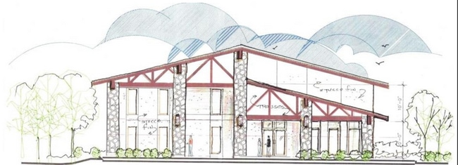
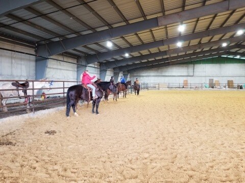
Property Record
301 Interstate Highway 30, Greenville, TX 75402

Property Detail
301 Interstate Highway 30
Dallas-Fort Worth-Arlington, TX
S4835 RUTH WHITELY ADDITION BLK 1 LOT 1 ACRES 21.825
37304
Hunt
Commercialnec
Texas
AE The base floodplain where base flood elevations are provided. AE Zones are now used on new format FIRMs instead of A1-A30 Zones.
1
2024
21.83 AC
2025
Hunt County
961200
Dallas/Ft Worth
45,870 SF
NEARBY LISTINGS FOR SALE OR LEASE
DEMOGRAPHICS near 301 Interstate Highway 30
1 mile
3 mile
5 mile
2025 Total Population
2,751
29,448
37,480
2030 Population
3,195
34,336
43,718
Pop Growth 2025-2030
+ 16.14%
+ 16.60%
+ 16.64%
Average Age
37
38
38
2025 Total Households
1,009
11,160
14,098
HH Growth 2025-2030
+ 16.55%
+ 16.91%
+ 16.96%
Median Household Inc
$66,893
$65,983
$67,455
Avg Household Size
2.60
2.50
2.60
2025 Avg HH Vehicles
2.00
2.00
2.00
Median Home Value
$198,984
$226,743
$235,627
Median Year Built
1977
1981
1983
Nearby Places
Map Layers
Map Styles
 Street
 Aerial
Layers
 Traffic
 Biking
Places
Listings with unknown addresses are not visible on the map
- Restaurants
- Banks
- Shops
- Fitness
- Groceries
SALE & LEASE HISTORY
LISTING DATE
SALE/LEASE

Feb 18, 2020
For Lease
Nearby Properties
Address
Land Use
TOTAL SIZE
Lot Size
Zoning
Address
Land Use
TOTAL SIZE
Lot Size
Zoning
243,495 SF
18.01 AC
Address
Land Use
TOTAL SIZE
Lot Size
Zoning
Address
Land Use
TOTAL SIZE
Lot Size
Zoning
333,000 SF
1.14 AC
Address
Land Use
TOTAL SIZE
Lot Size
Zoning
311,060 SF
92.32 AC
Address
Land Use
TOTAL SIZE
Lot Size
Zoning
144,437 SF
4.96 AC
Address
Land Use
TOTAL SIZE
Lot Size
Zoning
188,688 SF
13.47 AC
Address
Land Use
TOTAL SIZE
Lot Size
Zoning
127,357 SF
13.85 AC
Address
Land Use
TOTAL SIZE
Lot Size
Zoning
246,730 SF
21.80 AC
C
Address
Land Use
TOTAL SIZE
Lot Size
Zoning
43,516 SF
108.86 AC
Address
Land Use
TOTAL SIZE
Lot Size
Zoning
81,021 SF
1.07 AC
Address
Land Use
TOTAL SIZE
Lot Size
Zoning
91,672 SF
44.64 AC
Address
Land Use
TOTAL SIZE
Lot Size
Zoning
136,151 SF
6.50 AC
Address
Land Use
TOTAL SIZE
Lot Size
Zoning
201,245 SF
28.42 AC
Address
Land Use
TOTAL SIZE
Lot Size
Zoning
155,301 SF
8.01 AC
C
Address
Land Use
TOTAL SIZE
Lot Size
Zoning
79,118 SF
9.70 AC
Address
Land Use
TOTAL SIZE
Lot Size
Zoning
119,765 SF
5.30 AC
2F
Address
Land Use
TOTAL SIZE
Lot Size
Zoning
52,693 SF
12.86 AC
Address
Land Use
TOTAL SIZE
Lot Size
Zoning
115,908 SF
12.80 AC
Address
Land Use
TOTAL SIZE
Lot Size
Zoning
129,700 SF
12.69 AC
Address
Land Use
TOTAL SIZE
Lot Size
Zoning
46,858 SF
3.96 AC
Address
Land Use
TOTAL SIZE
Lot Size
Zoning
138,858 SF
49.30 AC
Address
Land Use
TOTAL SIZE
Lot Size
Zoning
92,176 SF
5.26 AC
Address
Land Use
TOTAL SIZE
Lot Size
Zoning
99,850 SF
10.62 AC
Address
Land Use
TOTAL SIZE
Lot Size
Zoning
121,332 SF
5.70 AC
MF1
Address
Land Use
TOTAL SIZE
Lot Size
Zoning
109,264 SF
5.82 AC
Address
Land Use
TOTAL SIZE
Lot Size
Zoning
72,104 SF
5.55 AC
Address
Land Use
TOTAL SIZE
Lot Size
Zoning
98,916 SF
5.34 AC
Address
Land Use
TOTAL SIZE
Lot Size
Zoning
118,022 SF
11.38 AC
Address
Land Use
TOTAL SIZE
Lot Size
Zoning
99,129 SF
4.45 AC
Address
Land Use
TOTAL SIZE
Lot Size
Zoning
114,000 SF
12.94 AC
The World's #1 Commercial Real Estate Marketplace
Connect with us
© 2026 CoStar Group
The information above has been obtained from sources believed reliable. While we do not doubt its accuracy we have not verified it and make no guarantee, warranty or representation about it. It is your responsibility to independently confirm its accuracy and completeness. Any projections, opinions, assumptions, or estimates used are for example only and do not represent the current or future performance of the property. The value of this transaction to you depends on tax and other factors which should be evaluated by your tax, financial, and legal advisors. You and your advisors should conduct a careful, independent investigation of the property to determine to your satisfaction the suitability of the property for your needs.