Property Record
301 Rotonda Blvd W, Rotonda West, FL 33947
NEARBY LISTINGS FOR SALE OR LEASE
Property Detail
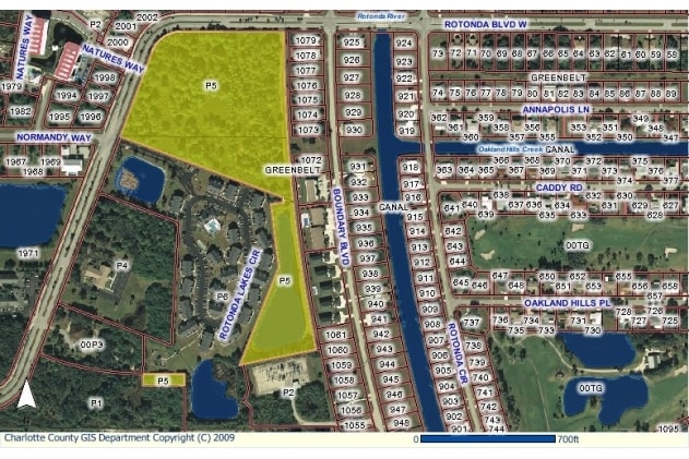
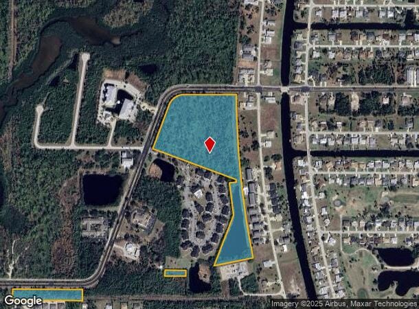
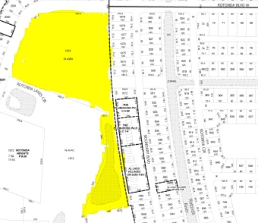
301 Rotonda Blvd W
Punta Gorda, FL
Rotonda Hts
412022329001
ROTONDA HTS P-5 TR 1972 19.62 A M/L ALL LESS 6.895A M/L IN PARCEL 1ALSO LESS 3.6A M/L IN PARCEL 2 ALSO LESS 3A M/L IN PARCEL 3 ALSO LESS 7.52A M/L IN PARCEL 4 ALSO LESS3.3A M/L IN PARCEL 35 IN SEC 21ALSO LESS 16.43A M/L IN PARCEL 6 397/538 444/577 60
Residentialacreage
Charlotte
AE
Florida
12015C0193G
18.62 AC
2024
Charlotte County
2025
Southwest Florida
030506
DEMOGRAPHICS near 301 Rotonda Blvd W
1 Mile
3 Mile
5 Mile
2024 Total Population
3,928
23,560
46,278
2029 Population
4,777
28,546
56,382
Pop Growth 2024-2029
+ 21.61%
+ 21.16%
+ 21.83%
Average Age
58
59
58
2024 Total Households
2,024
11,717
22,827
HH Growth 2024-2029
+ 21.84%
+ 21.39%
+ 22.10%
Median Household Inc
$48,198
$57,074
$59,551
Avg Household Size
1.90
2.00
2.00
2024 Avg HH Vehicles
1.00
2.00
2.00
Median Home Value
$234,934
$272,045
$274,377
Median Year Built
1987
1992
1991
Nearby Places
- Restaurants
- Banks
- Shops
- Fitness
- Groceries
PUBLIC TRANSPORTATION
AIRPORT
Punta Gorda
DRIVE
WALK
Distance
Punta Gorda
49 min
27.7 mi
Freight Ports
Port Manatee
DRIVE
WALK
Distance
Port Manatee
83 min
60.3 mi
SALE & LEASE HISTORY
LISTING DATE
SALE/LEASE

Sep 24, 2016
For Sale
Aug 16, 2019
For Sale
Nearby Properties
Address
Land Use
TOTAL SIZE
Lot Size
Zoning
Address
Land Use
TOTAL SIZE
Lot Size
Zoning
2,387.99 AC
ES
Address
Land Use
TOTAL SIZE
Lot Size
Zoning
193,100 SF
26.30 AC
PD
Address
Land Use
TOTAL SIZE
Lot Size
Zoning
105,990 SF
17.30 AC
RMF15
Address
Land Use
TOTAL SIZE
Lot Size
Zoning
28,490 SF
172 AC
PKR
Address
Land Use
TOTAL SIZE
Lot Size
Zoning
33,654 SF
10.19 AC
RMF5
Address
Land Use
TOTAL SIZE
Lot Size
Zoning
107,736 SF
35.90 AC
RMF5
Address
Land Use
TOTAL SIZE
Lot Size
Zoning
38,036 SF
9.09 AC
RMF15
Address
Land Use
TOTAL SIZE
Lot Size
Zoning
101,160 SF
2.39 AC
CG
Address
Land Use
TOTAL SIZE
Lot Size
Zoning
58,185 SF
3.40 AC
IG
Address
Land Use
TOTAL SIZE
Lot Size
Zoning
25,777 SF
12.18 AC
PD
Address
Land Use
TOTAL SIZE
Lot Size
Zoning
25,685 SF
126.18 AC
RMF-T
Address
Land Use
TOTAL SIZE
Lot Size
Zoning
55,760 SF
3.18 AC
CG
Address
Land Use
TOTAL SIZE
Lot Size
Zoning
25,478 SF
11.06 AC
IG
Address
Land Use
TOTAL SIZE
Lot Size
Zoning
106,737 SF
20.80 AC
RMF5
Address
Land Use
TOTAL SIZE
Lot Size
Zoning
40,376 SF
11.18 AC
CG
Address
Land Use
TOTAL SIZE
Lot Size
Zoning
24,708 SF
14.89 AC
CT
Address
Land Use
TOTAL SIZE
Lot Size
Zoning
3,935 SF
36.92 AC
RMF10
Address
Land Use
TOTAL SIZE
Lot Size
Zoning
50,080 SF
5.09 AC
CG
Address
Land Use
TOTAL SIZE
Lot Size
Zoning
15.79 AC
CT
Address
Land Use
TOTAL SIZE
Lot Size
Zoning
38.60 AC
PD
Address
Land Use
TOTAL SIZE
Lot Size
Zoning
26,248 SF
6.32 AC
PD
Address
Land Use
TOTAL SIZE
Lot Size
Zoning
25,130 SF
21.98 AC
RE1
Address
Land Use
TOTAL SIZE
Lot Size
Zoning
27,501 SF
3.82 AC
CG
Address
Land Use
TOTAL SIZE
Lot Size
Zoning
20,160 SF
3.04 AC
CG
Address
Land Use
TOTAL SIZE
Lot Size
Zoning
5,980 SF
0.40 AC
BBI
Address
Land Use
TOTAL SIZE
Lot Size
Zoning
15,190 SF
154.40 AC
RSF5
Address
Land Use
TOTAL SIZE
Lot Size
Zoning
8.47 AC
RMF10
Address
Land Use
TOTAL SIZE
Lot Size
Zoning
33.01 AC
CG
Address
Land Use
TOTAL SIZE
Lot Size
Zoning
10 AC
RMF10
The World's #1 Commercial Real Estate Marketplace
Connect with us
© 2025 CoStar Group
The information above has been obtained from sources believed reliable. While we do not doubt its accuracy we have not verified it and make no guarantee, warranty or representation about it. It is your responsibility to independently confirm its accuracy and completeness. Any projections, opinions, assumptions, or estimates used are for example only and do not represent the current or future performance of the property. The value of this transaction to you depends on tax and other factors which should be evaluated by your tax, financial, and legal advisors. You and your advisors should conduct a careful, independent investigation of the property to determine to your satisfaction the suitability of the property for your needs.