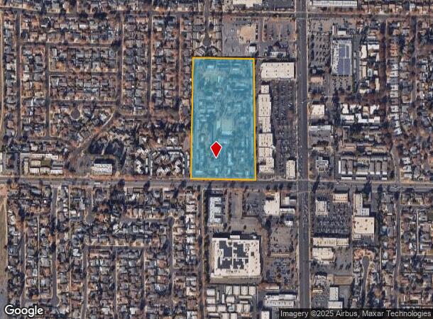
Property Record
301 Standiford Ave, Modesto, CA 95350


NEARBY LISTINGS FOR SALE OR LEASE
Property Detail
301 Standiford Ave
055-47-01
PARCEL MAP LOT B MAP 000005 00062
Multifamilydwelling
Stanislaus
X
California
06077C0830F
b
0
13.27 AC
2025
Northwest Modesto
000506
Stockton/Modesto
188,676 SF
Modesto, CA
DEMOGRAPHICS near 301 Standiford Ave
1 Mile
3 Mile
5 Mile
2024 Total Population
17,803
121,362
249,077
2029 Population
17,843
121,751
249,689
Pop Growth 2024-2029
+ 0.22%
+ 0.32%
+ 0.25%
Average Age
41
39
38
2024 Total Households
6,887
43,661
84,190
HH Growth 2024-2029
+ 0.19%
+ 0.29%
+ 0.22%
Median Household Inc
$67,070
$74,413
$75,380
Avg Household Size
2.50
2.70
2.90
2024 Avg HH Vehicles
2.00
2.00
2.00
Median Home Value
$423,184
$403,067
$399,255
Median Year Built
1974
1974
1978
Nearby Places
Map Layers
Map Styles
 Street
 Aerial
- Restaurants
- Banks
- Shops
- Fitness
- Groceries
PUBLIC TRANSPORTATION
COMMUTER RAIL
Modesto (San Joaquins - Amtrak)
DRIVE
WALK
Distance
Modesto (San Joaquins - Amtrak)
12 min
6.3 mi
AIRPORT
Stockton Metro
DRIVE
WALK
Distance
Stockton Metro
33 min
23.5 mi
Freight Ports
Port of Stockton
DRIVE
WALK
Distance
Port of Stockton
42 min
32.0 mi
Nearby Properties
Address
Land Use
TOTAL SIZE
Lot Size
Zoning
Address
Land Use
TOTAL SIZE
Lot Size
Zoning
766,000 SF
22.69 AC
MODPD
Address
Land Use
TOTAL SIZE
Lot Size
Zoning
450,277 SF
15.29 AC
Address
Land Use
TOTAL SIZE
Lot Size
Zoning
9.25 AC
MODSP
Address
Land Use
TOTAL SIZE
Lot Size
Zoning
138,618 SF
3.99 AC
Address
Land Use
TOTAL SIZE
Lot Size
Zoning
20.31 AC
COUPD
Address
Land Use
TOTAL SIZE
Lot Size
Zoning
175,804 SF
13.79 AC
Address
Land Use
TOTAL SIZE
Lot Size
Zoning
189,239 SF
8.75 AC
PD
Address
Land Use
TOTAL SIZE
Lot Size
Zoning
131,958 SF
8.11 AC
Address
Land Use
TOTAL SIZE
Lot Size
Zoning
65,294 SF
4.20 AC
Address
Land Use
TOTAL SIZE
Lot Size
Zoning
156,854 SF
12.20 AC
PC
Address
Land Use
TOTAL SIZE
Lot Size
Zoning
120,383 SF
5.52 AC
MODCM
Address
Land Use
TOTAL SIZE
Lot Size
Zoning
15.68 AC
RIVPD
Address
Land Use
TOTAL SIZE
Lot Size
Zoning
79,458 SF
5.32 AC
Address
Land Use
TOTAL SIZE
Lot Size
Zoning
280,223 SF
23.52 AC
MODC2
Address
Land Use
TOTAL SIZE
Lot Size
Zoning
120,160 SF
6 AC
MODPD
Address
Land Use
TOTAL SIZE
Lot Size
Zoning
110,684 SF
5.03 AC
Address
Land Use
TOTAL SIZE
Lot Size
Zoning
123,575 SF
10 AC
PC
Address
Land Use
TOTAL SIZE
Lot Size
Zoning
233,787 SF
14.65 AC
Address
Land Use
TOTAL SIZE
Lot Size
Zoning
119,046 SF
8.94 AC
Address
Land Use
TOTAL SIZE
Lot Size
Zoning
60,156 SF
16.20 AC
Address
Land Use
TOTAL SIZE
Lot Size
Zoning
45,916 SF
4.69 AC
MODPO
Address
Land Use
TOTAL SIZE
Lot Size
Zoning
62,280 SF
1.95 AC
Address
Land Use
TOTAL SIZE
Lot Size
Zoning
2.16 AC
Address
Land Use
TOTAL SIZE
Lot Size
Zoning
53,976 SF
2 AC
Address
Land Use
TOTAL SIZE
Lot Size
Zoning
72,338 SF
5.98 AC
RIVC1
Address
Land Use
TOTAL SIZE
Lot Size
Zoning
88,224 SF
5.13 AC
PD
Address
Land Use
TOTAL SIZE
Lot Size
Zoning
82,997 SF
4.49 AC
Address
Land Use
TOTAL SIZE
Lot Size
Zoning
80,987 SF
4.33 AC
PD
Address
Land Use
TOTAL SIZE
Lot Size
Zoning
137,582 SF
19.21 AC
MODSP
The World's #1 Commercial Real Estate Marketplace
Connect with us
© 2025 CoStar Group
The information above has been obtained from sources believed reliable. While we do not doubt its accuracy we have not verified it and make no guarantee, warranty or representation about it. It is your responsibility to independently confirm its accuracy and completeness. Any projections, opinions, assumptions, or estimates used are for example only and do not represent the current or future performance of the property. The value of this transaction to you depends on tax and other factors which should be evaluated by your tax, financial, and legal advisors. You and your advisors should conduct a careful, independent investigation of the property to determine to your satisfaction the suitability of the property for your needs.