Property Record
3012 E 4Th St, Pueblo, CO 81001


Property Detail
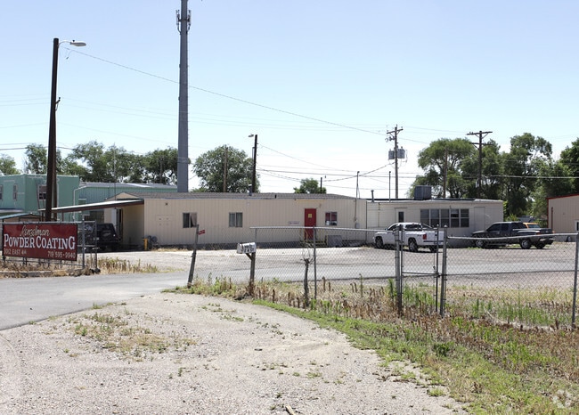
3012 E 4Th St
0-4-33-0-01-007
LOT 6 BLK 1 FEARNOWVILLE + N 30 FT HWY 96 ADJ
Industrialacreage
Pueblo
I2:IND/MAN
Colorado
B and X Area of moderate flood hazard, usually the area between the limits of the 100-year and 500-year floods.
6
2024
0.54 AC
2024
Colorado East Area
003001
Other Market Areas
5,000 SF
Pueblo, CO
NEARBY LISTINGS FOR SALE OR LEASE
DEMOGRAPHICS near 3012 E 4Th St
1 mile
3 mile
5 mile
2024 Total Population
3,951
33,251
83,704
2029 Population
4,057
33,233
83,717
Pop Growth 2024-2029
+ 2.68%
(0.05%)
+ 0.02%
Average Age
38
40
41
2024 Total Households
1,378
13,238
34,011
HH Growth 2024-2029
+ 2.76%
(0.09%)
+ 0.01%
Median Household Inc
$41,518
$47,565
$53,464
Avg Household Size
2.70
2.40
2.30
2024 Avg HH Vehicles
2.00
2.00
2.00
Median Home Value
$180,219
$250,782
$254,874
Median Year Built
1975
1964
1959
Nearby Places
Map Layers
Map Styles
 Street
 Aerial
Transit
 Traffic
 Biking
Places
Listings with unknown addresses are not visible on the map
- Restaurants
- Banks
- Shops
- Fitness
- Groceries
Nearby Properties
Address
Land Use
TOTAL SIZE
Lot Size
Zoning
Address
Land Use
TOTAL SIZE
Lot Size
Zoning
168,237 SF
3.69 AC
S-1
Address
Land Use
TOTAL SIZE
Lot Size
Zoning
53,269 SF
4.51 AC
Address
Land Use
TOTAL SIZE
Lot Size
Zoning
65,508 SF
3.18 AC
Address
Land Use
TOTAL SIZE
Lot Size
Zoning
122,704 SF
2.72 AC
B4:COMM/RE
Address
Land Use
TOTAL SIZE
Lot Size
Zoning
54,250 SF
2.06 AC
B4:COMM/RE
Address
Land Use
TOTAL SIZE
Lot Size
Zoning
71,345 SF
5.17 AC
Address
Land Use
TOTAL SIZE
Lot Size
Zoning
71,936 SF
3.43 AC
R4:RES/MUL
Address
Land Use
TOTAL SIZE
Lot Size
Zoning
42,289 SF
0.54 AC
B4:COMM/RE
Address
Land Use
TOTAL SIZE
Lot Size
Zoning
26,255 SF
2.08 AC
Address
Land Use
TOTAL SIZE
Lot Size
Zoning
25,172 SF
1.42 AC
R5:RES/MUL
Address
Land Use
TOTAL SIZE
Lot Size
Zoning
17,906 SF
0.86 AC
PUD
Address
Land Use
TOTAL SIZE
Lot Size
Zoning
27,682 SF
1.85 AC
S-1
Address
Land Use
TOTAL SIZE
Lot Size
Zoning
25,714 SF
17.61 AC
Address
Land Use
TOTAL SIZE
Lot Size
Zoning
23,025 SF
1.21 AC
R5:RES/MUL
Address
Land Use
TOTAL SIZE
Lot Size
Zoning
13,060 SF
11.06 AC
S-1
Address
Land Use
TOTAL SIZE
Lot Size
Zoning
225,504 SF
37.40 AC
I2:IND/MAN
Address
Land Use
TOTAL SIZE
Lot Size
Zoning
84,872 SF
0.76 AC
B4:COMM/RE
Address
Land Use
TOTAL SIZE
Lot Size
Zoning
35,530 SF
0.54 AC
S1:SPC/PUB
Address
Land Use
TOTAL SIZE
Lot Size
Zoning
117,715 SF
3.58 AC
Address
Land Use
TOTAL SIZE
Lot Size
Zoning
25,983 SF
0.97 AC
B4:COMM/RE
Address
Land Use
TOTAL SIZE
Lot Size
Zoning
62,718 SF
4.76 AC
I3:IND/HEA
Address
Land Use
TOTAL SIZE
Lot Size
Zoning
259,600 SF
44.62 AC
I1:IND/PAR
Address
Land Use
TOTAL SIZE
Lot Size
Zoning
141,902 SF
5.08 AC
R5:RES/MUL
Address
Land Use
TOTAL SIZE
Lot Size
Zoning
148,405 SF
35.67 AC
I1:IND/PAR
Address
Land Use
TOTAL SIZE
Lot Size
Zoning
16,700 SF
1.63 AC
R-4
Address
Land Use
TOTAL SIZE
Lot Size
Zoning
26,550 SF
3.52 AC
S1:SPC/PUB
Address
Land Use
TOTAL SIZE
Lot Size
Zoning
22,358 SF
0.36 AC
B-4
Address
Land Use
TOTAL SIZE
Lot Size
Zoning
13,204 SF
1.31 AC
B4:COMM/RE
Address
Land Use
TOTAL SIZE
Lot Size
Zoning
12,950 SF
0.32 AC
B4:COMM/RE
Address
Land Use
TOTAL SIZE
Lot Size
Zoning
53,088 SF
2.39 AC
The World's #1 Commercial Real Estate Marketplace
Connect with us
© 2026 CoStar Group
The information above has been obtained from sources believed reliable. While we do not doubt its accuracy we have not verified it and make no guarantee, warranty or representation about it. It is your responsibility to independently confirm its accuracy and completeness. Any projections, opinions, assumptions, or estimates used are for example only and do not represent the current or future performance of the property. The value of this transaction to you depends on tax and other factors which should be evaluated by your tax, financial, and legal advisors. You and your advisors should conduct a careful, independent investigation of the property to determine to your satisfaction the suitability of the property for your needs.