Property Record
3035 Peachtree Rd Ne, Atlanta, GA 30305
NEARBY LISTINGS FOR SALE OR LEASE
Property Detail
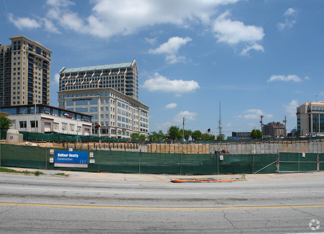
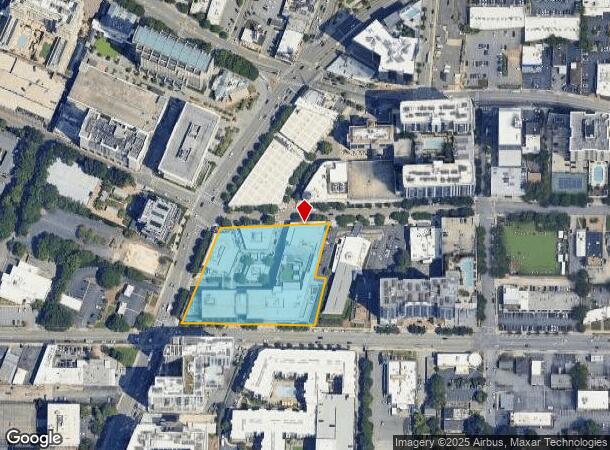
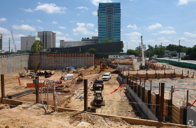
3035 Peachtree Rd Ne
Atlanta-Sandy Springs-Roswell, GA
Buckhead
17-0099-0008-001-6
KA STREETS OF BUCKHEAD
Regionalshoppingcenterormallwithanchorstore
Fulton
X
Georgia
13121C0234F
23
2024
2.98 AC
2025
Buckhead/Lenox
009605
Atlanta
808,070 SF
DEMOGRAPHICS near 3035 Peachtree Rd Ne
1 Mile
3 Mile
5 Mile
2024 Total Population
25,091
132,137
342,288
2029 Population
26,636
136,318
350,101
Pop Growth 2024-2029
+ 6.16%
+ 3.16%
+ 2.28%
Average Age
42
39
37
2024 Total Households
14,962
69,602
166,515
HH Growth 2024-2029
+ 6.48%
+ 3.47%
+ 2.62%
Median Household Inc
$99,871
$104,239
$103,687
Avg Household Size
1.60
1.80
1.90
2024 Avg HH Vehicles
1.00
1.00
1.00
Median Home Value
$690,767
$708,732
$662,101
Median Year Built
2001
1994
1993
Nearby Places
Map Layers
Map Styles
 Street
 Aerial
- Restaurants
- Banks
- Shops
- Fitness
- Groceries
PUBLIC TRANSPORTATION
COMMUTER RAIL
Atlanta (Crescent - Amtrak)
DRIVE
WALK
Distance
Atlanta (Crescent - Amtrak)
4 min
3.0 mi
AIRPORT
Hartsfield - Jackson Atlanta International
DRIVE
WALK
Distance
Hartsfield - Jackson Atlanta International
25 min
16.2 mi
Freight Ports
Georgia Ports - Savannah
DRIVE
WALK
Distance
Georgia Ports - Savannah
288 min
255.5 mi
Nearby Properties
Address
Land Use
TOTAL SIZE
Lot Size
Zoning
Address
Land Use
TOTAL SIZE
Lot Size
Zoning
11,126,925 SF
43.33 AC
C3
Address
Land Use
TOTAL SIZE
Lot Size
Zoning
3,356,268 SF
14.72 AC
C3
Address
Land Use
TOTAL SIZE
Lot Size
Zoning
1,572,131 SF
25.12 AC
RG3
Address
Land Use
TOTAL SIZE
Lot Size
Zoning
2,044,200 SF
9.16 AC
C3
Address
Land Use
TOTAL SIZE
Lot Size
Zoning
903,671 SF
1 AC
C3
Address
Land Use
TOTAL SIZE
Lot Size
Zoning
654,394 SF
2.27 AC
C1C
Address
Land Use
TOTAL SIZE
Lot Size
Zoning
844,000 SF
2.33 AC
PDMU
Address
Land Use
TOTAL SIZE
Lot Size
Zoning
702,901 SF
3.72 AC
PDOC
Address
Land Use
TOTAL SIZE
Lot Size
Zoning
169,435 SF
76.18 AC
M
Address
Land Use
TOTAL SIZE
Lot Size
Zoning
1,242,520 SF
3.38 AC
PDMU
Address
Land Use
TOTAL SIZE
Lot Size
Zoning
1,233,815 SF
2.18 AC
PDMU
Address
Land Use
TOTAL SIZE
Lot Size
Zoning
687,016 SF
4.21 AC
R4
Address
Land Use
TOTAL SIZE
Lot Size
Zoning
1,021,058 SF
2.89 AC
C3
Address
Land Use
TOTAL SIZE
Lot Size
Zoning
598,962 SF
4.50 AC
PDOC
Address
Land Use
TOTAL SIZE
Lot Size
Zoning
835,636 SF
5.63 AC
PDOC
Address
Land Use
TOTAL SIZE
Lot Size
Zoning
899,673 SF
2.15 AC
PDMU
Address
Land Use
TOTAL SIZE
Lot Size
Zoning
188,648 SF
4.39 AC
X
Address
Land Use
TOTAL SIZE
Lot Size
Zoning
1,006,124 SF
2.97 AC
RG4C
Address
Land Use
TOTAL SIZE
Lot Size
Zoning
32.79 AC
R3
Address
Land Use
TOTAL SIZE
Lot Size
Zoning
12.97 AC
C3
Address
Land Use
TOTAL SIZE
Lot Size
Zoning
2,820,296 SF
9.58 AC
RG5
Address
Land Use
TOTAL SIZE
Lot Size
Zoning
458,822 SF
2.86 AC
RG2
Address
Land Use
TOTAL SIZE
Lot Size
Zoning
863,826 SF
3.79 AC
C4
Address
Land Use
TOTAL SIZE
Lot Size
Zoning
1,092,973 SF
4.11 AC
C1C
Address
Land Use
TOTAL SIZE
Lot Size
Zoning
664,442 SF
4.76 AC
RG3
Address
Land Use
TOTAL SIZE
Lot Size
Zoning
754,619 SF
27.30 AC
RG3C
Address
Land Use
TOTAL SIZE
Lot Size
Zoning
527,188 SF
2.06 AC
PDOC
Address
Land Use
TOTAL SIZE
Lot Size
Zoning
619,288 SF
3.51 AC
OI
Address
Land Use
TOTAL SIZE
Lot Size
Zoning
645,419 SF
1.11 AC
C3
Address
Land Use
TOTAL SIZE
Lot Size
Zoning
389,560 SF
4.01 AC
C1
The World's #1 Commercial Real Estate Marketplace
Connect with us
© 2026 CoStar Group
The information above has been obtained from sources believed reliable. While we do not doubt its accuracy we have not verified it and make no guarantee, warranty or representation about it. It is your responsibility to independently confirm its accuracy and completeness. Any projections, opinions, assumptions, or estimates used are for example only and do not represent the current or future performance of the property. The value of this transaction to you depends on tax and other factors which should be evaluated by your tax, financial, and legal advisors. You and your advisors should conduct a careful, independent investigation of the property to determine to your satisfaction the suitability of the property for your needs.