Property Record
302 Arnow Dr, Saint Marys, GA 31558

NEARBY LISTINGS FOR SALE OR LEASE
Property Detail
302 Arnow Dr
135L-101
Shadowlawn S/D
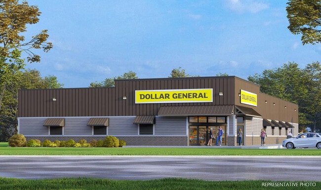
Commercialnec
V/L 1 SHADOWLAWN S/D V CENTER
X
Camden
13039C0414G
Georgia
2025
2.02 AC
2025
Brunswick/Kingsland
010500
Other Market Areas
10,372 SF
St. Marys, GA
DEMOGRAPHICS near 302 Arnow Dr
1 Mile
3 Mile
5 Mile
2024 Total Population
3,828
16,715
33,336
2029 Population
4,117
18,248
36,492
Pop Growth 2024-2029
+ 7.55%
+ 9.17%
+ 9.47%
Average Age
39
38
37
2024 Total Households
1,487
6,715
12,092
HH Growth 2024-2029
+ 7.87%
+ 9.37%
+ 9.68%
Median Household Inc
$94,131
$64,612
$69,277
Avg Household Size
2.50
2.40
2.50
2024 Avg HH Vehicles
2.00
2.00
2.00
Median Home Value
$254,754
$252,248
$244,881
Median Year Built
1998
1994
1995
Nearby Places
Map Layers
Map Styles
 Street
 Aerial
- Restaurants
- Banks
- Shops
- Fitness
- Groceries
PUBLIC TRANSPORTATION
AIRPORT
Jacksonville International
DRIVE
WALK
Distance
Jacksonville International
38 min
28.0 mi
Freight Ports
Georgia Ports - Brunswick
DRIVE
WALK
Distance
Georgia Ports - Brunswick
45 min
35.0 mi
SALE & LEASE HISTORY
LISTING DATE
SALE/LEASE

Sep 25, 2023
For Sale
Nearby Properties
Address
Land Use
TOTAL SIZE
Lot Size
Zoning
Address
Land Use
TOTAL SIZE
Lot Size
Zoning
172,807 SF
45.10 AC
R-1
Address
Land Use
TOTAL SIZE
Lot Size
Zoning
115,682 SF
4 AC
C-1
Address
Land Use
TOTAL SIZE
Lot Size
Zoning
1,456 SF
15.71 AC
R-3
Address
Land Use
TOTAL SIZE
Lot Size
Zoning
26,410 SF
3.21 AC
C-3
Address
Land Use
TOTAL SIZE
Lot Size
Zoning
80,350 SF
28 AC
PD
Address
Land Use
TOTAL SIZE
Lot Size
Zoning
14,152 SF
14.25 AC
R-3
Address
Land Use
TOTAL SIZE
Lot Size
Zoning
64,504 SF
20 AC
C-ED
Address
Land Use
TOTAL SIZE
Lot Size
Zoning
2,305 SF
20.92 AC
C-2
Address
Land Use
TOTAL SIZE
Lot Size
Zoning
9,744 SF
13.84 AC
R-3
Address
Land Use
TOTAL SIZE
Lot Size
Zoning
1,143 AC
PD M-U
Address
Land Use
TOTAL SIZE
Lot Size
Zoning
5 AC
C-3
Address
Land Use
TOTAL SIZE
Lot Size
Zoning
28,858 SF
5.09 AC
R-3
Address
Land Use
TOTAL SIZE
Lot Size
Zoning
3,240 SF
13.97 AC
R-1
Address
Land Use
TOTAL SIZE
Lot Size
Zoning
182,489 SF
22.88 AC
C-2
Address
Land Use
TOTAL SIZE
Lot Size
Zoning
77,912 SF
12.76 AC
C-2
Address
Land Use
TOTAL SIZE
Lot Size
Zoning
22,311 SF
6.39 AC
C-2
Address
Land Use
TOTAL SIZE
Lot Size
Zoning
11,086 SF
6.26 AC
R-3
Address
Land Use
TOTAL SIZE
Lot Size
Zoning
626.23 AC
P-D
Address
Land Use
TOTAL SIZE
Lot Size
Zoning
54,408 SF
15.57 AC
I-A
Address
Land Use
TOTAL SIZE
Lot Size
Zoning
45,180 SF
7.46 AC
C-2
Address
Land Use
TOTAL SIZE
Lot Size
Zoning
1,530 SF
5.97 AC
C-2
Address
Land Use
TOTAL SIZE
Lot Size
Zoning
6,720 SF
25 AC
R-3
Address
Land Use
TOTAL SIZE
Lot Size
Zoning
18,025 SF
12.47 AC
C-2
Address
Land Use
TOTAL SIZE
Lot Size
Zoning
92,858 SF
10.67 AC
C-2
Address
Land Use
TOTAL SIZE
Lot Size
Zoning
451,960 SF
40.62 AC
I-G
Address
Land Use
TOTAL SIZE
Lot Size
Zoning
31,224 SF
11.43 AC
PD R-3
Address
Land Use
TOTAL SIZE
Lot Size
Zoning
127.47 AC
PD/MU/1-G
Address
Land Use
TOTAL SIZE
Lot Size
Zoning
12,560 SF
4.93 AC
C-2
Address
Land Use
TOTAL SIZE
Lot Size
Zoning
31,040 SF
4.48 AC
I-L
Address
Land Use
TOTAL SIZE
Lot Size
Zoning
2,220 SF
3.64 AC
I-L
The World's #1 Commercial Real Estate Marketplace
Connect with us
© 2026 CoStar Group
The information above has been obtained from sources believed reliable. While we do not doubt its accuracy we have not verified it and make no guarantee, warranty or representation about it. It is your responsibility to independently confirm its accuracy and completeness. Any projections, opinions, assumptions, or estimates used are for example only and do not represent the current or future performance of the property. The value of this transaction to you depends on tax and other factors which should be evaluated by your tax, financial, and legal advisors. You and your advisors should conduct a careful, independent investigation of the property to determine to your satisfaction the suitability of the property for your needs.