Property Record
302 E Main St, Battle Ground, WA 98604
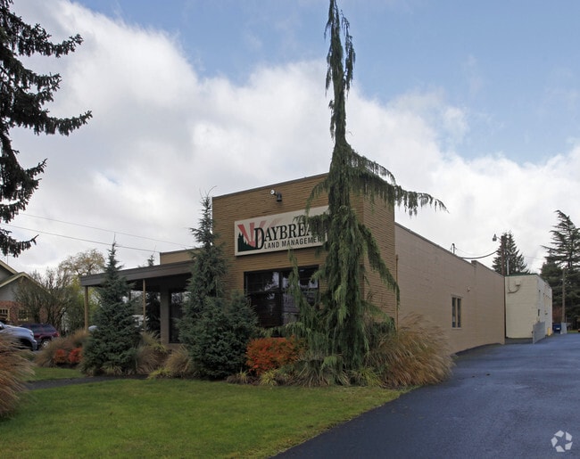

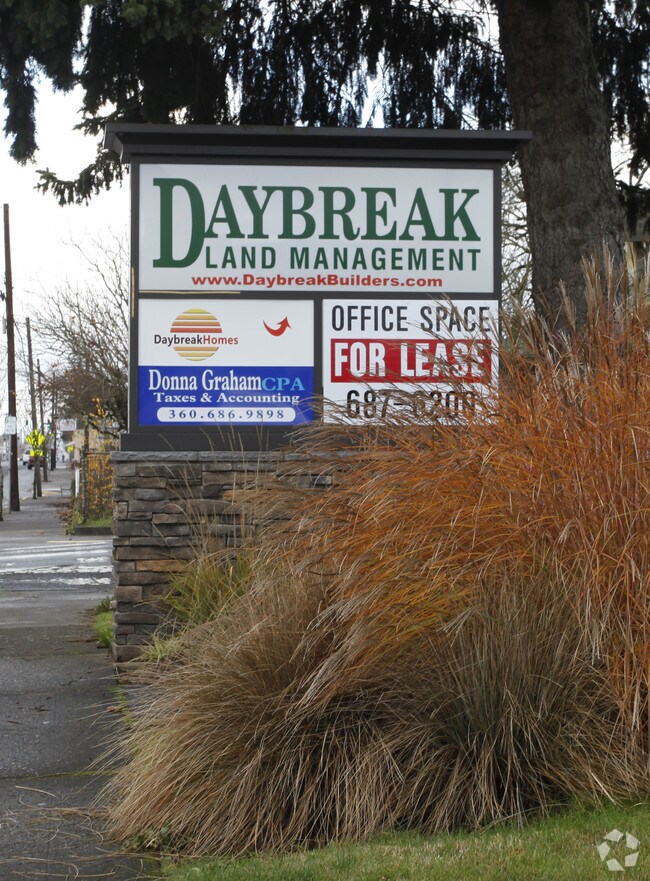

Property Detail
302 E Main St
091051-034
#53 SEC 35 T4N R2E .1 FOR ASSESSOR USE ONLY THT PTN SWQ OF SWQ SEC 35-4-2E DAF: COMM AT A CONC MNMNT MRK NG SW COR OF SD SEC 35 SURVEY BK 53 PG 126 TH ALG S LI OF SD SWQ S89-32-01E 810 FT TH N00-27-59E 30 FT TO SW COR OF MAIN- STREET LLC PER AF 38274
Medicalbuilding
Clark
D
Washington
B and X Area of moderate flood hazard, usually the area between the limits of the 100-year and 500-year floods.
0.12 AC
2025
Clark County Outlying
2025
Portland
040415
Portland-Vancouver-Hillsboro, OR-WA
2,033 SF
NEARBY LISTINGS FOR SALE OR LEASE
-
-
View all Battle Ground listings for sale on LoopNet.com
DEMOGRAPHICS near 302 E Main St
1 mile
3 mile
5 mile
2025 Total Population
12,054
32,295
49,053
2030 Population
12,548
33,765
51,123
Pop Growth 2025-2030
+ 4.10%
+ 4.55%
+ 4.22%
Average Age
38
39
40
2025 Total Households
4,354
11,032
16,471
HH Growth 2025-2030
+ 4.23%
+ 4.67%
+ 4.38%
Median Household Inc
$99,052
$110,460
$115,015
Avg Household Size
2.80
2.90
2.90
2025 Avg HH Vehicles
2.00
2.00
3.00
Median Home Value
$478,339
$564,743
$647,176
Median Year Built
1998
1999
1996
Nearby Places
Map Layers
Map Styles
 Street
 Aerial
Layers
 Traffic
 Biking
Places
Listings with unknown addresses are not visible on the map
- Restaurants
- Banks
- Shops
- Fitness
- Groceries
PUBLIC TRANSPORTATION
AIRPORT
Portland International
Drive
Walk
Distance
Portland International
32 min
18.8 mi
Freight Ports
Port of Vancouver
Drive
Walk
Distance
Port of Vancouver
31 min
17.2 mi
Nearby Properties
Address
Land Use
TOTAL SIZE
Lot Size
Zoning
Address
Land Use
TOTAL SIZE
Lot Size
Zoning
128,139 SF
37.02 AC
AG-20
Address
Land Use
TOTAL SIZE
Lot Size
Zoning
146,585 SF
41.85 AC
CC
Address
Land Use
TOTAL SIZE
Lot Size
Zoning
196,625 SF
2.05 AC
MU-R
Address
Land Use
TOTAL SIZE
Lot Size
Zoning
166,003 SF
15.45 AC
RC
Address
Land Use
TOTAL SIZE
Lot Size
Zoning
114,689 SF
19.39 AC
RC
Address
Land Use
TOTAL SIZE
Lot Size
Zoning
129,044 SF
18.81 AC
R7
Address
Land Use
TOTAL SIZE
Lot Size
Zoning
204,121 SF
7.73 AC
MU-R
Address
Land Use
TOTAL SIZE
Lot Size
Zoning
150,874 SF
15.65 AC
RC
Address
Land Use
TOTAL SIZE
Lot Size
Zoning
84,614 SF
10 AC
RC
Address
Land Use
TOTAL SIZE
Lot Size
Zoning
47,476 SF
4.15 AC
RC
Address
Land Use
TOTAL SIZE
Lot Size
Zoning
74,390 SF
6.54 AC
ML
Address
Land Use
TOTAL SIZE
Lot Size
Zoning
136,286 SF
5 AC
RC
Address
Land Use
TOTAL SIZE
Lot Size
Zoning
69,785 SF
4.32 AC
RC
Address
Land Use
TOTAL SIZE
Lot Size
Zoning
57,924 SF
2.14 AC
D
Address
Land Use
TOTAL SIZE
Lot Size
Zoning
42,162 SF
4.28 AC
RC
Address
Land Use
TOTAL SIZE
Lot Size
Zoning
39,320 SF
8.59 AC
RC
Address
Land Use
TOTAL SIZE
Lot Size
Zoning
47,463 SF
1.78 AC
D
Address
Land Use
TOTAL SIZE
Lot Size
Zoning
31,118 SF
1.27 AC
D
Address
Land Use
TOTAL SIZE
Lot Size
Zoning
65,820 SF
2.09 AC
R7
Address
Land Use
TOTAL SIZE
Lot Size
Zoning
57,495 SF
1.47 AC
D
Address
Land Use
TOTAL SIZE
Lot Size
Zoning
55,480 SF
3.54 AC
R20
Address
Land Use
TOTAL SIZE
Lot Size
Zoning
76,626 SF
4.69 AC
RC-1
Address
Land Use
TOTAL SIZE
Lot Size
Zoning
60,996 SF
1.83 AC
R10
Address
Land Use
TOTAL SIZE
Lot Size
Zoning
38,344 SF
5 AC
AG-20
Address
Land Use
TOTAL SIZE
Lot Size
Zoning
48,930 SF
3.16 AC
R10
Address
Land Use
TOTAL SIZE
Lot Size
Zoning
46,060 SF
2.43 AC
R20
Address
Land Use
TOTAL SIZE
Lot Size
Zoning
107,826 SF
1.98 AC
R1-20
Address
Land Use
TOTAL SIZE
Lot Size
Zoning
23,598 SF
12.24 AC
R1-20
The World's #1 Commercial Real Estate Marketplace
Connect with us
© 2026 CoStar Group
The information above has been obtained from sources believed reliable. While we do not doubt its accuracy we have not verified it and make no guarantee, warranty or representation about it. It is your responsibility to independently confirm its accuracy and completeness. Any projections, opinions, assumptions, or estimates used are for example only and do not represent the current or future performance of the property. The value of this transaction to you depends on tax and other factors which should be evaluated by your tax, financial, and legal advisors. You and your advisors should conduct a careful, independent investigation of the property to determine to your satisfaction the suitability of the property for your needs.