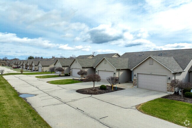
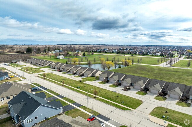
Property Record
302 Millbridge Dr, Sycamore, IL 60178
Property Detail
302 Millbridge Dr
Chicago-Naperville-Elgin, IL-IN
LOT 12 - CAMDEN CROSSING CONDOMINIUMS PUD
06-20-282-008
DEKALB
Commercialnec
Illinois
B and X Area of moderate flood hazard, usually the area between the limits of the 100-year and 500-year floods.
12
2024
0.54 AC
2025
DeKalb
000402
Chicago
4,030 SF
NEARBY LISTINGS FOR SALE OR LEASE
-
-
View all Sycamore listings for sale on LoopNet.com
DEMOGRAPHICS near 302 Millbridge Dr
1 mile
3 mile
5 mile
2025 Total Population
4,230
16,848
25,648
2030 Population
4,249
16,933
25,757
Pop Growth 2025-2030
+ 0.45%
+ 0.50%
+ 0.42%
Average Age
39
40
40
2025 Total Households
1,448
6,679
10,044
HH Growth 2025-2030
+ 0.55%
+ 0.52%
+ 0.44%
Median Household Inc
$135,904
$89,458
$85,002
Avg Household Size
2.90
2.50
2.50
2025 Avg HH Vehicles
2.00
2.00
2.00
Median Home Value
$369,999
$281,261
$267,116
Median Year Built
2000
1992
1991
Nearby Places
Map Layers
Map Styles
 Street
 Aerial
Layers
 Traffic
 Biking
Places
Listings with unknown addresses are not visible on the map
- Restaurants
- Banks
- Shops
- Fitness
- Groceries
PUBLIC TRANSPORTATION
AIRPORT
Chicago/Rockford International
Drive
Walk
Distance
Chicago/Rockford International
54 min
36.1 mi
Freight Ports
Port Milwaukee
Drive
Walk
Distance
Port Milwaukee
130 min
95.1 mi
SALE & LEASE HISTORY
LISTING DATE
SALE/LEASE

May 19, 2021
For Sale
Nearby Properties
Address
Land Use
TOTAL SIZE
Lot Size
Zoning
Address
Land Use
TOTAL SIZE
Lot Size
Zoning
Address
Land Use
TOTAL SIZE
Lot Size
Zoning
16.04 AC
Address
Land Use
TOTAL SIZE
Lot Size
Zoning
5 AC
A1
Address
Land Use
TOTAL SIZE
Lot Size
Zoning
8.41 AC
Address
Land Use
TOTAL SIZE
Lot Size
Zoning
22,860 SF
27.55 AC
Address
Land Use
TOTAL SIZE
Lot Size
Zoning
127,415 SF
11.90 AC
Address
Land Use
TOTAL SIZE
Lot Size
Zoning
33,876 SF
2.87 AC
A1
Address
Land Use
TOTAL SIZE
Lot Size
Zoning
4.06 AC
Address
Land Use
TOTAL SIZE
Lot Size
Zoning
21,605 SF
16.08 AC
Address
Land Use
TOTAL SIZE
Lot Size
Zoning
127,200 SF
14.41 AC
Address
Land Use
TOTAL SIZE
Lot Size
Zoning
45,152 SF
3.55 AC
Address
Land Use
TOTAL SIZE
Lot Size
Zoning
14,132 SF
2.11 AC
Address
Land Use
TOTAL SIZE
Lot Size
Zoning
6.97 AC
Address
Land Use
TOTAL SIZE
Lot Size
Zoning
11,250 SF
2.48 AC
Address
Land Use
TOTAL SIZE
Lot Size
Zoning
19,340 SF
5.74 AC
Address
Land Use
TOTAL SIZE
Lot Size
Zoning
1.84 AC
Address
Land Use
TOTAL SIZE
Lot Size
Zoning
2.60 AC
Address
Land Use
TOTAL SIZE
Lot Size
Zoning
1.78 AC
Address
Land Use
TOTAL SIZE
Lot Size
Zoning
53,680 SF
3.73 AC
Address
Land Use
TOTAL SIZE
Lot Size
Zoning
4.19 AC
Address
Land Use
TOTAL SIZE
Lot Size
Zoning
4,622 SF
1.41 AC
Address
Land Use
TOTAL SIZE
Lot Size
Zoning
1.88 AC
BC
Address
Land Use
TOTAL SIZE
Lot Size
Zoning
8.30 AC
Address
Land Use
TOTAL SIZE
Lot Size
Zoning
10.02 AC
A1
Address
Land Use
TOTAL SIZE
Lot Size
Zoning
17,818 SF
1.52 AC
Address
Land Use
TOTAL SIZE
Lot Size
Zoning
0.34 AC
Address
Land Use
TOTAL SIZE
Lot Size
Zoning
41,635 SF
1.36 AC
Address
Land Use
TOTAL SIZE
Lot Size
Zoning
2.29 AC
Address
Land Use
TOTAL SIZE
Lot Size
Zoning
8,300 SF
0.20 AC
Address
Land Use
TOTAL SIZE
Lot Size
Zoning
15,059 SF
1.80 AC
The World's #1 Commercial Real Estate Marketplace
Connect with us
© 2026 CoStar Group
The information above has been obtained from sources believed reliable. While we do not doubt its accuracy we have not verified it and make no guarantee, warranty or representation about it. It is your responsibility to independently confirm its accuracy and completeness. Any projections, opinions, assumptions, or estimates used are for example only and do not represent the current or future performance of the property. The value of this transaction to you depends on tax and other factors which should be evaluated by your tax, financial, and legal advisors. You and your advisors should conduct a careful, independent investigation of the property to determine to your satisfaction the suitability of the property for your needs.