Property Record
302 N 8Th St, Pulaski, TN 38478
NEARBY LISTINGS FOR SALE OR LEASE
Property Detail
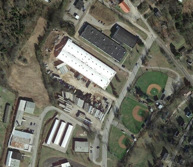
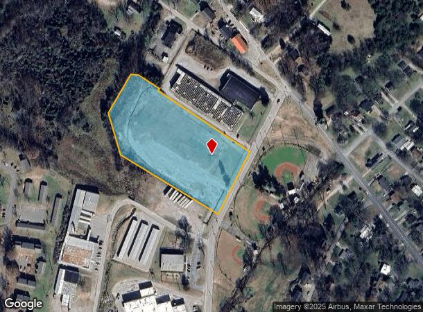
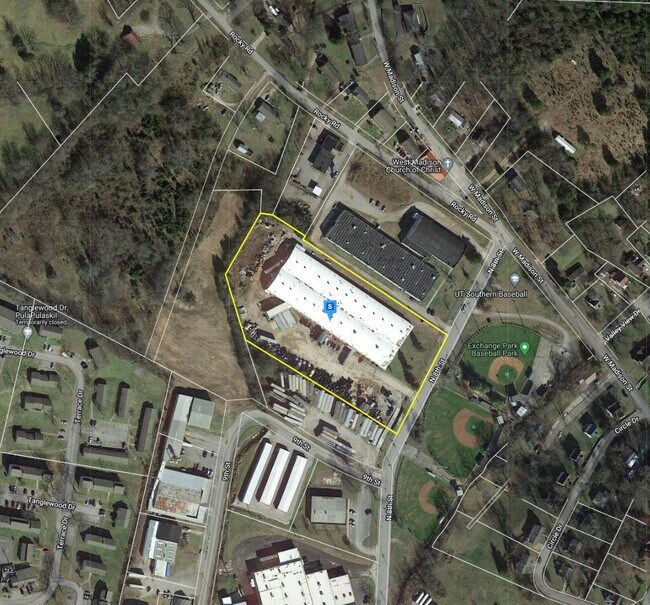
302 N 8Th St
Manufacturinglight
DISTRICT: 07 APPERTAIN CORP, COUNTY AREA: R02
X
Giles
47055C0208D
Tennessee
0
4.91 AC
2024
Tennessee Central Area
920200
Other Market Areas
62,796 SF
087-065.01
DEMOGRAPHICS near 302 N 8Th St
1 Mile
3 Mile
5 Mile
2024 Total Population
3,190
10,464
13,135
2029 Population
3,276
10,676
13,393
Pop Growth 2024-2029
+ 2.70%
+ 2.03%
+ 1.96%
Average Age
38
41
41
2024 Total Households
1,207
4,243
5,309
HH Growth 2024-2029
+ 2.98%
+ 2.03%
+ 1.96%
Median Household Inc
$40,806
$48,389
$50,965
Avg Household Size
2.30
2.30
2.30
2024 Avg HH Vehicles
2.00
2.00
2.00
Median Home Value
$140,600
$149,888
$157,727
Median Year Built
1975
1976
1977
Nearby Places
Map Layers
Map Styles
 Street
 Aerial
- Restaurants
- Banks
- Shops
- Fitness
- Groceries
Nearby Properties
Address
Land Use
TOTAL SIZE
Lot Size
Zoning
Address
Land Use
TOTAL SIZE
Lot Size
Zoning
297,000 SF
52.17 AC
Address
Land Use
TOTAL SIZE
Lot Size
Zoning
543,877 SF
38.99 AC
Address
Land Use
TOTAL SIZE
Lot Size
Zoning
41,972 SF
2.52 AC
Address
Land Use
TOTAL SIZE
Lot Size
Zoning
67,959 SF
12 AC
Address
Land Use
TOTAL SIZE
Lot Size
Zoning
30,808 SF
6 AC
Address
Land Use
TOTAL SIZE
Lot Size
Zoning
159,788 SF
15.56 AC
Address
Land Use
TOTAL SIZE
Lot Size
Zoning
24,438 SF
270 AC
Address
Land Use
TOTAL SIZE
Lot Size
Zoning
1,404 SF
4.80 AC
Address
Land Use
TOTAL SIZE
Lot Size
Zoning
35,509 SF
26.26 AC
Address
Land Use
TOTAL SIZE
Lot Size
Zoning
693 SF
35.74 AC
Address
Land Use
TOTAL SIZE
Lot Size
Zoning
55,698 SF
0.40 AC
Address
Land Use
TOTAL SIZE
Lot Size
Zoning
105,000 SF
15 AC
Address
Land Use
TOTAL SIZE
Lot Size
Zoning
46,252 SF
8.10 AC
Address
Land Use
TOTAL SIZE
Lot Size
Zoning
19,044 SF
24.50 AC
Address
Land Use
TOTAL SIZE
Lot Size
Zoning
85,302 SF
10.30 AC
Address
Land Use
TOTAL SIZE
Lot Size
Zoning
327,618 SF
39.71 AC
Address
Land Use
TOTAL SIZE
Lot Size
Zoning
20,000 SF
1.64 AC
Address
Land Use
TOTAL SIZE
Lot Size
Zoning
211,178 SF
17.76 AC
Address
Land Use
TOTAL SIZE
Lot Size
Zoning
103,983 SF
18.54 AC
Address
Land Use
TOTAL SIZE
Lot Size
Zoning
9,104 SF
10 AC
Address
Land Use
TOTAL SIZE
Lot Size
Zoning
81,360 SF
20.76 AC
Address
Land Use
TOTAL SIZE
Lot Size
Zoning
4,836 SF
8.90 AC
Address
Land Use
TOTAL SIZE
Lot Size
Zoning
18,802 SF
2.30 AC
Address
Land Use
TOTAL SIZE
Lot Size
Zoning
12,000 SF
1.40 AC
Address
Land Use
TOTAL SIZE
Lot Size
Zoning
10,948 SF
3.10 AC
Address
Land Use
TOTAL SIZE
Lot Size
Zoning
159,685 SF
25.50 AC
Address
Land Use
TOTAL SIZE
Lot Size
Zoning
11,300 SF
7.97 AC
Address
Land Use
TOTAL SIZE
Lot Size
Zoning
117,108 SF
11.01 AC
Address
Land Use
TOTAL SIZE
Lot Size
Zoning
30,604 SF
3 AC
Address
Land Use
TOTAL SIZE
Lot Size
Zoning
115,204 SF
25 AC
The World's #1 Commercial Real Estate Marketplace
Connect with us
© 2025 CoStar Group
The information above has been obtained from sources believed reliable. While we do not doubt its accuracy we have not verified it and make no guarantee, warranty or representation about it. It is your responsibility to independently confirm its accuracy and completeness. Any projections, opinions, assumptions, or estimates used are for example only and do not represent the current or future performance of the property. The value of this transaction to you depends on tax and other factors which should be evaluated by your tax, financial, and legal advisors. You and your advisors should conduct a careful, independent investigation of the property to determine to your satisfaction the suitability of the property for your needs.