Property Record
302 W Earll Dr, Phoenix, AZ 85013

Save to a Folder
{{folder.Name}}
{{folder.ListingIds.length}} Properties
{{folder.ListingIds.length}} Property
Create a New Folder
Property Detail
302 W Earll Dr
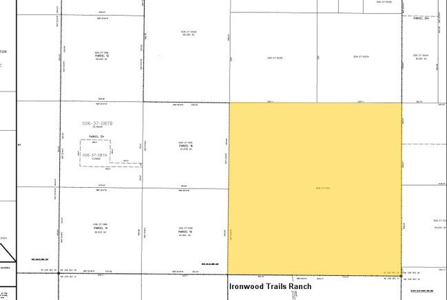
506-37-004
SE4 160 AC
Residentialacreage
MARICOPA
R-190
Arizona
C and X Area of minimal flood hazard, usually depicted on FIRMs as above the 500-year flood level.
160 AC
2025
Northwest Outlying
2025
Phoenix
108802
Phoenix-Mesa-Chandler, AZ
NEARBY LISTINGS FOR SALE OR LEASE
DEMOGRAPHICS near 302 W Earll Dr
1 mile
3 mile
5 mile
2025 Total Population
9
114
589
2030 Population
9
120
621
Pop Growth 2025-2030
0.00%
+ 5.26%
+ 5.43%
Average Age
38
40
40
2025 Total Households
3
37
190
HH Growth 2025-2030
0.00%
+ 5.41%
+ 5.26%
Median Household Inc
$137,500
$57,499
$57,499
Avg Household Size
1.50
2.80
2.80
2025 Avg HH Vehicles
3.00
3.00
3.00
Median Home Value
$450,000
$416,667
$416,234
Median Year Built
2005
2003
2003
Nearby Places
Map Layers
Map Styles
 Street
 Aerial
Layers
 Traffic
 Biking
Places
Listings with unknown addresses are not visible on the map
- Restaurants
- Banks
- Shops
- Fitness
- Groceries
Nearby Properties
Address
Land Use
TOTAL SIZE
Lot Size
Zoning
Address
Land Use
TOTAL SIZE
Lot Size
Zoning
63,418 SF
317.58 AC
R-43
Address
Land Use
TOTAL SIZE
Lot Size
Zoning
19,040 SF
317.58 AC
R-43
Address
Land Use
TOTAL SIZE
Lot Size
Zoning
22,000 SF
159.75 AC
RU-43
Address
Land Use
TOTAL SIZE
Lot Size
Zoning
17,639 SF
39.01 AC
R-190
Address
Land Use
TOTAL SIZE
Lot Size
Zoning
2,138 SF
42.51 AC
R-190
Address
Land Use
TOTAL SIZE
Lot Size
Zoning
7,137 SF
83.70 AC
R-43
Address
Land Use
TOTAL SIZE
Lot Size
Zoning
7,274 SF
315.16 AC
R-43
Address
Land Use
TOTAL SIZE
Lot Size
Zoning
120.22 AC
Address
Land Use
TOTAL SIZE
Lot Size
Zoning
5.01 AC
Address
Land Use
TOTAL SIZE
Lot Size
Zoning
5,100 SF
78.49 AC
R-43
Address
Land Use
TOTAL SIZE
Lot Size
Zoning
120.28 AC
R-43
Address
Land Use
TOTAL SIZE
Lot Size
Zoning
79 AC
R-43
Address
Land Use
TOTAL SIZE
Lot Size
Zoning
Address
Land Use
TOTAL SIZE
Lot Size
Zoning
40.05 AC
R-190
Address
Land Use
TOTAL SIZE
Lot Size
Zoning
40.07 AC
R-190
Address
Land Use
TOTAL SIZE
Lot Size
Zoning
36 AC
R-190
Address
Land Use
TOTAL SIZE
Lot Size
Zoning
61.34 AC
R-43
The World's #1 Commercial Real Estate Marketplace
Connect with us
© 2026 CoStar Group
The information above has been obtained from sources believed reliable. While we do not doubt its accuracy we have not verified it and make no guarantee, warranty or representation about it. It is your responsibility to independently confirm its accuracy and completeness. Any projections, opinions, assumptions, or estimates used are for example only and do not represent the current or future performance of the property. The value of this transaction to you depends on tax and other factors which should be evaluated by your tax, financial, and legal advisors. You and your advisors should conduct a careful, independent investigation of the property to determine to your satisfaction the suitability of the property for your needs.