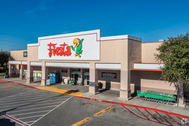
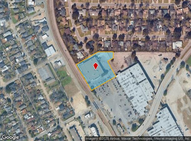
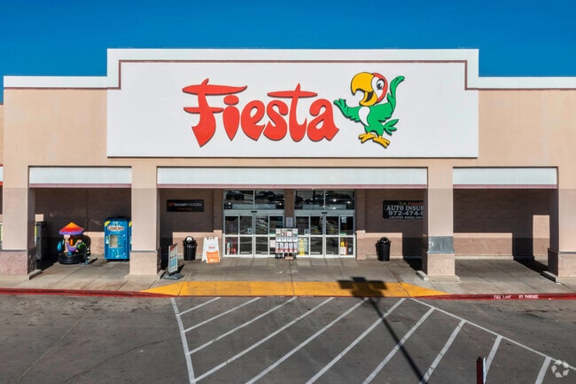
Property Record
3030 S Lancaster Rd, Dallas, TX 75216
NEARBY LISTINGS FOR SALE OR LEASE
Property Detail
3030 S Lancaster Rd
00607500000000100
BLK 6075 TR 0.1 ACS 2.363 INT202500012069 DD01012025 CO-DC 6075 000 00001 8DA6075 000
Supermarket
Dallas
X
Texas
48113C0485J
2.36 AC
2024
SW Dallas County
2025
Dallas/Ft Worth
008801
Dallas-Fort Worth-Arlington, TX
37,248 SF
DEMOGRAPHICS near 3030 S Lancaster Rd
1 Mile
3 Mile
5 Mile
2024 Total Population
17,750
116,626
279,840
2029 Population
17,646
116,146
280,108
Pop Growth 2024-2029
(0.59%)
(0.41%)
+ 0.10%
Average Age
36
36
37
2024 Total Households
5,292
37,685
98,323
HH Growth 2024-2029
(0.79%)
(0.61%)
+ 0.23%
Median Household Inc
$32,614
$36,704
$44,745
Avg Household Size
3.20
3.00
2.70
2024 Avg HH Vehicles
2.00
2.00
2.00
Median Home Value
$117,883
$153,424
$181,140
Median Year Built
1955
1959
1965
Nearby Places
Map Layers
Map Styles
 Street
 Aerial
- Restaurants
- Banks
- Shops
- Fitness
- Groceries
PUBLIC TRANSPORTATION
COMMUTER RAIL
DRIVE
WALK
Distance
11 min
6.3 mi
DRIVE
WALK
Distance
15 min
8.9 mi
AIRPORT
Dallas Love Field
DRIVE
WALK
Distance
Dallas Love Field
22 min
11.4 mi
Dallas-Fort Worth International
DRIVE
WALK
Distance
Dallas-Fort Worth International
35 min
25.5 mi
Nearby Properties
Address
Land Use
TOTAL SIZE
Lot Size
Zoning
Address
Land Use
TOTAL SIZE
Lot Size
Zoning
271,956 SF
23.18 AC
Z298
Address
Land Use
TOTAL SIZE
Lot Size
Zoning
179,370 SF
13.18 AC
Z248
Address
Land Use
TOTAL SIZE
Lot Size
Zoning
381,448 SF
19.99 AC
Z151
Address
Land Use
TOTAL SIZE
Lot Size
Zoning
512,628 SF
2.72 AC
Z239
Address
Land Use
TOTAL SIZE
Lot Size
Zoning
343,006 SF
0.53 AC
Z239
Address
Land Use
TOTAL SIZE
Lot Size
Zoning
223,496 SF
3.94 AC
Z164
Address
Land Use
TOTAL SIZE
Lot Size
Zoning
423,864 SF
3.56 AC
Z164
Address
Land Use
TOTAL SIZE
Lot Size
Zoning
73,708 SF
1.82 AC
Z239
Address
Land Use
TOTAL SIZE
Lot Size
Zoning
260,602 SF
6.64 AC
Address
Land Use
TOTAL SIZE
Lot Size
Zoning
333,215 SF
3.04 AC
Address
Land Use
TOTAL SIZE
Lot Size
Zoning
337,587 SF
0.16 AC
Z297
Address
Land Use
TOTAL SIZE
Lot Size
Zoning
286,203 SF
1.37 AC
Z239
Address
Land Use
TOTAL SIZE
Lot Size
Zoning
532,726 SF
64.28 AC
Z248
Address
Land Use
TOTAL SIZE
Lot Size
Zoning
353,319 SF
20.49 AC
Address
Land Use
TOTAL SIZE
Lot Size
Zoning
532,564 SF
10.19 AC
Z297
Address
Land Use
TOTAL SIZE
Lot Size
Zoning
146,912 SF
2.74 AC
Z239
Address
Land Use
TOTAL SIZE
Lot Size
Zoning
361,851 SF
29.17 AC
Z164
Address
Land Use
TOTAL SIZE
Lot Size
Zoning
202,418 SF
21.43 AC
Z239
Address
Land Use
TOTAL SIZE
Lot Size
Zoning
154,672 SF
1.04 AC
Z239
Address
Land Use
TOTAL SIZE
Lot Size
Zoning
178,050 SF
7.38 AC
Z164
Address
Land Use
TOTAL SIZE
Lot Size
Zoning
276,324 SF
19.10 AC
Z164
Address
Land Use
TOTAL SIZE
Lot Size
Zoning
172,619 SF
20.79 AC
Z164
Address
Land Use
TOTAL SIZE
Lot Size
Zoning
74,259 SF
7.81 AC
Z298
Address
Land Use
TOTAL SIZE
Lot Size
Zoning
179,039 SF
1.33 AC
Z164
Address
Land Use
TOTAL SIZE
Lot Size
Zoning
99,442 SF
0.89 AC
Z239
Address
Land Use
TOTAL SIZE
Lot Size
Zoning
121,312 SF
45.99 AC
Z239
Address
Land Use
TOTAL SIZE
Lot Size
Zoning
56,278 SF
4.18 AC
Z413
Address
Land Use
TOTAL SIZE
Lot Size
Zoning
181,865 SF
5.38 AC
Z149
Address
Land Use
TOTAL SIZE
Lot Size
Zoning
116,712 SF
7.55 AC
Z297
Address
Land Use
TOTAL SIZE
Lot Size
Zoning
261,965 SF
20.02 AC
Z248
The World's #1 Commercial Real Estate Marketplace
Connect with us
© 2025 CoStar Group
The information above has been obtained from sources believed reliable. While we do not doubt its accuracy we have not verified it and make no guarantee, warranty or representation about it. It is your responsibility to independently confirm its accuracy and completeness. Any projections, opinions, assumptions, or estimates used are for example only and do not represent the current or future performance of the property. The value of this transaction to you depends on tax and other factors which should be evaluated by your tax, financial, and legal advisors. You and your advisors should conduct a careful, independent investigation of the property to determine to your satisfaction the suitability of the property for your needs.