Property Record
3034 Mcdonald Rd, Tyler, TX 75701


NEARBY LISTINGS FOR SALE OR LEASE
Property Detail
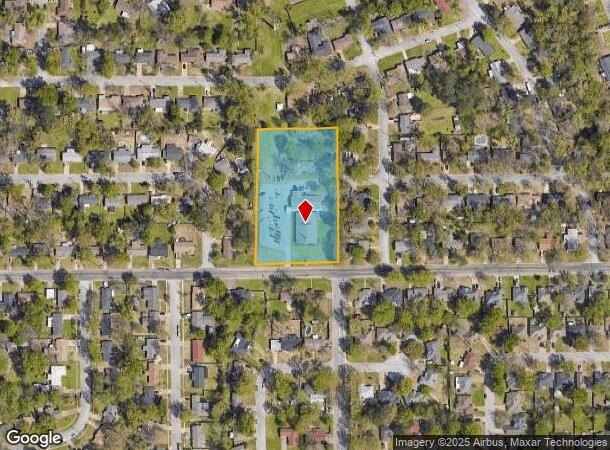
3034 Mcdonald Rd
Tyler, TX
City Of Tyler
1-50000-0967-00-002000
CITY OF TYLERBLOCK 967 LOT 2
Religious
Smith
X
Texas
48423C0360D
2
0
2.74 AC
2025
Tyler & Longview
001300
Other Market Areas
11,314 SF
DEMOGRAPHICS near 3034 Mcdonald Rd
1 Mile
3 Mile
5 Mile
2024 Total Population
9,535
49,526
104,721
2029 Population
10,459
53,914
113,954
Pop Growth 2024-2029
+ 9.69%
+ 8.86%
+ 8.82%
Average Age
35
38
38
2024 Total Households
3,776
19,599
41,026
HH Growth 2024-2029
+ 9.59%
+ 8.36%
+ 8.29%
Median Household Inc
$68,151
$61,456
$55,514
Avg Household Size
2.30
2.30
2.40
2024 Avg HH Vehicles
2.00
2.00
2.00
Median Home Value
$150,408
$186,865
$177,744
Median Year Built
1976
1977
1978
Nearby Places
Map Layers
Map Styles
 Street
 Aerial
- Restaurants
- Banks
- Shops
- Fitness
- Groceries
PUBLIC TRANSPORTATION
AIRPORT
Tyler Pounds Regional
DRIVE
WALK
Distance
Tyler Pounds Regional
22 min
12.1 mi
SALE & LEASE HISTORY
LISTING DATE
SALE/LEASE

Sep 23, 2016
For Sale
Nearby Properties
Address
Land Use
TOTAL SIZE
Lot Size
Zoning
Address
Land Use
TOTAL SIZE
Lot Size
Zoning
14,000 SF
367.52 AC
M2
Address
Land Use
TOTAL SIZE
Lot Size
Zoning
12.64 AC
Address
Land Use
TOTAL SIZE
Lot Size
Zoning
22,500 SF
214.44 AC
R1A
Address
Land Use
TOTAL SIZE
Lot Size
Zoning
503,620 SF
11.42 AC
Address
Land Use
TOTAL SIZE
Lot Size
Zoning
1.47 AC
RMF
Address
Land Use
TOTAL SIZE
Lot Size
Zoning
33,409 SF
151.32 AC
M2
Address
Land Use
TOTAL SIZE
Lot Size
Zoning
9.98 AC
Address
Land Use
TOTAL SIZE
Lot Size
Zoning
18.37 AC
R1A
Address
Land Use
TOTAL SIZE
Lot Size
Zoning
168,390 SF
7.51 AC
Address
Land Use
TOTAL SIZE
Lot Size
Zoning
Address
Land Use
TOTAL SIZE
Lot Size
Zoning
16.53 AC
Address
Land Use
TOTAL SIZE
Lot Size
Zoning
1.78 AC
DBAC
Address
Land Use
TOTAL SIZE
Lot Size
Zoning
448,500 SF
2.90 AC
INT
Address
Land Use
TOTAL SIZE
Lot Size
Zoning
238,658 SF
1.97 AC
INT
Address
Land Use
TOTAL SIZE
Lot Size
Zoning
25 AC
INT
Address
Land Use
TOTAL SIZE
Lot Size
Zoning
213,323 SF
1.21 AC
Address
Land Use
TOTAL SIZE
Lot Size
Zoning
3,052 SF
9.20 AC
PMF
Address
Land Use
TOTAL SIZE
Lot Size
Zoning
38,010 SF
12.07 AC
R1A
Address
Land Use
TOTAL SIZE
Lot Size
Zoning
20,071 SF
7.43 AC
Address
Land Use
TOTAL SIZE
Lot Size
Zoning
3,189 SF
11.17 AC
RMF
Address
Land Use
TOTAL SIZE
Lot Size
Zoning
66.86 AC
R1A
Address
Land Use
TOTAL SIZE
Lot Size
Zoning
37,536 SF
16.81 AC
RMF
Address
Land Use
TOTAL SIZE
Lot Size
Zoning
8,279 SF
14.06 AC
RMF
Address
Land Use
TOTAL SIZE
Lot Size
Zoning
88,964 SF
11.33 AC
Address
Land Use
TOTAL SIZE
Lot Size
Zoning
111,030 SF
1.02 AC
Address
Land Use
TOTAL SIZE
Lot Size
Zoning
2,676 SF
8.28 AC
RMF
Address
Land Use
TOTAL SIZE
Lot Size
Zoning
14,752 SF
9.64 AC
RMF
Address
Land Use
TOTAL SIZE
Lot Size
Zoning
83,450 SF
Address
Land Use
TOTAL SIZE
Lot Size
Zoning
52,557 SF
11.44 AC
RMF
Address
Land Use
TOTAL SIZE
Lot Size
Zoning
2.14 AC
The World's #1 Commercial Real Estate Marketplace
Connect with us
© 2026 CoStar Group
The information above has been obtained from sources believed reliable. While we do not doubt its accuracy we have not verified it and make no guarantee, warranty or representation about it. It is your responsibility to independently confirm its accuracy and completeness. Any projections, opinions, assumptions, or estimates used are for example only and do not represent the current or future performance of the property. The value of this transaction to you depends on tax and other factors which should be evaluated by your tax, financial, and legal advisors. You and your advisors should conduct a careful, independent investigation of the property to determine to your satisfaction the suitability of the property for your needs.