Property Record
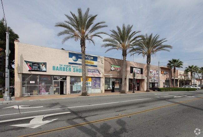
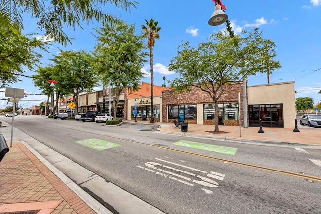
306 S D St, Perris, CA 92570

This Property Is For Sale
NEARBY LISTINGS FOR SALE OR LEASE
Property Detail
306 S D St
Riverside-San Bernardino-Ontario, CA
Nances Add To Perris
313-081-035
LOT 2 BLK C MB 015/708 SD NANCES ADD TO PERRIS
Storebuilding
Riverside
X
California
06065C1440H
2
2024
0.05 AC
2025
Moreno Valley/Perris
042801
Inland Empire (California)
DEMOGRAPHICS near 306 S D St
1 mile
3 mile
5 mile
2024 Total Population
19,093
63,712
115,263
2029 Population
20,819
67,746
121,726
Pop Growth 2024-2029
+ 9.04%
+ 6.33%
+ 5.61%
Average Age
31
32
35
2024 Total Households
4,947
15,213
29,604
HH Growth 2024-2029
+ 8.87%
+ 6.11%
+ 5.29%
Median Household Inc
$57,880
$68,841
$70,208
Avg Household Size
3.80
4.00
3.70
2024 Avg HH Vehicles
2.00
2.00
2.00
Median Home Value
$318,059
$342,913
$362,918
Median Year Built
1996
1992
1993
Nearby Places
Map Layers
Map Styles
 Street
 Aerial
Transit
 Traffic
 Biking
Places
Listings with unknown addresses are not visible on the map
- Restaurants
- Banks
- Shops
- Fitness
- Groceries
PUBLIC TRANSPORTATION
COMMUTER RAIL
Perris Downtown (Metrolink 91-Perris Valley Line - Metrolink Trains)
Drive
Walk
Distance
Perris Downtown (Metrolink 91-Perris Valley Line - Metrolink Trains)
0 min
6 min
0.3 mi
South Perris (Metrolink 91-Perris Valley Line - Metrolink Trains)
Drive
Walk
Distance
South Perris (Metrolink 91-Perris Valley Line - Metrolink Trains)
3 min
2.1 mi
AIRPORT
Ontario International
Drive
Walk
Distance
Ontario International
42 min
34.1 mi
Freight Ports
Port of Long Beach
Drive
Walk
Distance
Port of Long Beach
92 min
68.8 mi
Nearby Properties
Address
Land Use
TOTAL SIZE
Lot Size
Zoning
Address
Land Use
TOTAL SIZE
Lot Size
Zoning
325,560 SF
16.65 AC
Address
Land Use
TOTAL SIZE
Lot Size
Zoning
429,823 SF
20.07 AC
Address
Land Use
TOTAL SIZE
Lot Size
Zoning
18,121 SF
15.15 AC
Address
Land Use
TOTAL SIZE
Lot Size
Zoning
28.13 AC
RR
Address
Land Use
TOTAL SIZE
Lot Size
Zoning
197,865 SF
10.74 AC
Address
Land Use
TOTAL SIZE
Lot Size
Zoning
57,600 SF
51.69 AC
Address
Land Use
TOTAL SIZE
Lot Size
Zoning
6.99 AC
MIX
Address
Land Use
TOTAL SIZE
Lot Size
Zoning
187,889 SF
20.64 AC
Address
Land Use
TOTAL SIZE
Lot Size
Zoning
32,709 SF
4.61 AC
C2
Address
Land Use
TOTAL SIZE
Lot Size
Zoning
89,409 SF
6.18 AC
Address
Land Use
TOTAL SIZE
Lot Size
Zoning
207,130 SF
16.15 AC
Address
Land Use
TOTAL SIZE
Lot Size
Zoning
22,119 SF
4.59 AC
R3
Address
Land Use
TOTAL SIZE
Lot Size
Zoning
75,109 SF
9.39 AC
Address
Land Use
TOTAL SIZE
Lot Size
Zoning
1,080 SF
9.53 AC
A02
Address
Land Use
TOTAL SIZE
Lot Size
Zoning
122,824 SF
5.18 AC
CC
Address
Land Use
TOTAL SIZE
Lot Size
Zoning
247,929 SF
12.35 AC
Address
Land Use
TOTAL SIZE
Lot Size
Zoning
50,000 SF
5.36 AC
CC
Address
Land Use
TOTAL SIZE
Lot Size
Zoning
10.85 AC
MH
Address
Land Use
TOTAL SIZE
Lot Size
Zoning
47,440 SF
5.32 AC
C2
Address
Land Use
TOTAL SIZE
Lot Size
Zoning
1,018,178 SF
57.91 AC
Address
Land Use
TOTAL SIZE
Lot Size
Zoning
3,750 SF
37.79 AC
GI
Address
Land Use
TOTAL SIZE
Lot Size
Zoning
4,804 SF
3.85 AC
Address
Land Use
TOTAL SIZE
Lot Size
Zoning
59.85 AC
The World's #1 Commercial Real Estate Marketplace
Connect with us
© 2026 CoStar Group
The information above has been obtained from sources believed reliable. While we do not doubt its accuracy we have not verified it and make no guarantee, warranty or representation about it. It is your responsibility to independently confirm its accuracy and completeness. Any projections, opinions, assumptions, or estimates used are for example only and do not represent the current or future performance of the property. The value of this transaction to you depends on tax and other factors which should be evaluated by your tax, financial, and legal advisors. You and your advisors should conduct a careful, independent investigation of the property to determine to your satisfaction the suitability of the property for your needs.