Property Record
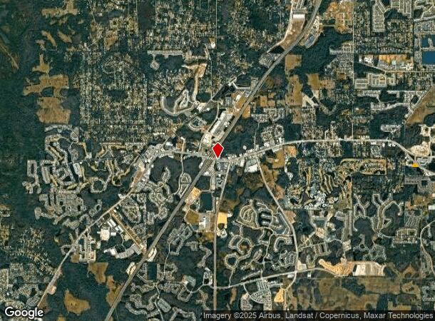
30846 State Road 54 Blvd, Wesley Chapel, FL 33543

NEARBY LISTINGS FOR SALE OR LEASE
Property Detail
30846 State Road 54 Blvd
Tampa-St. Petersburg-Clearwater, FL
THAT POR OF N1/2 OF NE1/4 OF SE1/4 OF SEC 9 LYING SOUTH OF R/W FOR SR 54 PER OR 190 PG 582 & EAST OF R/W BY OCCUPATION FOR OLD SR 54(NOW WESLEY CHAPEL LOOP) LESS FOLL R/W: PCL A AKA PCL 14090-2151 FOR SR 54 & PCL B FOR OLD SR 54(NKA WESLEY CHAPEL LOO
09-26-20-0000-00600-0040
Pasco
Commercialacreage
Florida
A
4
12101C0431F
0.94 AC
2024
Pasco County
2025
Tampa/St Petersburg
032106
DEMOGRAPHICS near 30846 State Road 54 Blvd
1 Mile
3 Mile
5 Mile
2024 Total Population
5,726
39,759
112,566
2029 Population
6,979
48,948
137,157
Pop Growth 2024-2029
+ 21.88%
+ 23.11%
+ 21.85%
Average Age
36
36
39
2024 Total Households
1,818
13,050
39,599
HH Growth 2024-2029
+ 21.89%
+ 23.10%
+ 21.78%
Median Household Inc
$100,381
$107,496
$93,614
Avg Household Size
3.00
3.00
2.80
2024 Avg HH Vehicles
2.00
2.00
2.00
Median Home Value
$322,659
$309,762
$301,612
Median Year Built
2007
2009
2005
Nearby Places
Map Layers
Map Styles
 Street
 Aerial
- Restaurants
- Banks
- Shops
- Fitness
- Groceries
PUBLIC TRANSPORTATION
AIRPORT
Tampa International
DRIVE
WALK
Distance
Tampa International
40 min
29.9 mi
Freight Ports
Port of Tampa Bay
DRIVE
WALK
Distance
Port of Tampa Bay
36 min
25.5 mi
SALE & LEASE HISTORY
LISTING DATE
SALE/LEASE

Mar 26, 2021
For Sale
Nearby Properties
Address
Land Use
TOTAL SIZE
Lot Size
Zoning
Address
Land Use
TOTAL SIZE
Lot Size
Zoning
306,559 SF
34.59 AC
MPUD
Address
Land Use
TOTAL SIZE
Lot Size
Zoning
343,155 SF
23.92 AC
MPUD
Address
Land Use
TOTAL SIZE
Lot Size
Zoning
293,253 SF
51.11 AC
MPUD
Address
Land Use
TOTAL SIZE
Lot Size
Zoning
38,091 SF
43.42 AC
MPUD
Address
Land Use
TOTAL SIZE
Lot Size
Zoning
319,575 SF
19.80 AC
MPUD
Address
Land Use
TOTAL SIZE
Lot Size
Zoning
315,343 SF
20.80 AC
MPUD
Address
Land Use
TOTAL SIZE
Lot Size
Zoning
267,326 SF
22.50 AC
MPUD
Address
Land Use
TOTAL SIZE
Lot Size
Zoning
275,549 SF
16.24 AC
C2
Address
Land Use
TOTAL SIZE
Lot Size
Zoning
418,644 SF
105.51 AC
AR
Address
Land Use
TOTAL SIZE
Lot Size
Zoning
241,371 SF
11.48 AC
MPUD
Address
Land Use
TOTAL SIZE
Lot Size
Zoning
244,355 SF
70.12 AC
MPUD
Address
Land Use
TOTAL SIZE
Lot Size
Zoning
153,412 SF
9.77 AC
MPUD
Address
Land Use
TOTAL SIZE
Lot Size
Zoning
146,401 SF
17.78 AC
MPUD
Address
Land Use
TOTAL SIZE
Lot Size
Zoning
142,552 SF
5.69 AC
MPUD
Address
Land Use
TOTAL SIZE
Lot Size
Zoning
115,596 SF
3.83 AC
C2
Address
Land Use
TOTAL SIZE
Lot Size
Zoning
106,926 SF
89.04 AC
MPUD
Address
Land Use
TOTAL SIZE
Lot Size
Zoning
86,782 SF
12.21 AC
C2
Address
Land Use
TOTAL SIZE
Lot Size
Zoning
97,416 SF
0.94 AC
MPUD
Address
Land Use
TOTAL SIZE
Lot Size
Zoning
28,631 SF
8.84 AC
MPUD
Address
Land Use
TOTAL SIZE
Lot Size
Zoning
91,866 SF
2.70 AC
MPUD
Address
Land Use
TOTAL SIZE
Lot Size
Zoning
96,210 SF
0.85 AC
MPUD
Address
Land Use
TOTAL SIZE
Lot Size
Zoning
189,610 SF
13.68 AC
MPUD
Address
Land Use
TOTAL SIZE
Lot Size
Zoning
106,061 SF
14.01 AC
MPUD
Address
Land Use
TOTAL SIZE
Lot Size
Zoning
38,392 SF
9.54 AC
MPUD
Address
Land Use
TOTAL SIZE
Lot Size
Zoning
210,354 SF
29.03 AC
C2
Address
Land Use
TOTAL SIZE
Lot Size
Zoning
118,112 SF
10.41 AC
MF1
Address
Land Use
TOTAL SIZE
Lot Size
Zoning
93,933 SF
3.63 AC
C2
Address
Land Use
TOTAL SIZE
Lot Size
Zoning
46.78 AC
MPUD
Address
Land Use
TOTAL SIZE
Lot Size
Zoning
118,441 SF
14.20 AC
C2
The World's #1 Commercial Real Estate Marketplace
Connect with us
© 2025 CoStar Group
The information above has been obtained from sources believed reliable. While we do not doubt its accuracy we have not verified it and make no guarantee, warranty or representation about it. It is your responsibility to independently confirm its accuracy and completeness. Any projections, opinions, assumptions, or estimates used are for example only and do not represent the current or future performance of the property. The value of this transaction to you depends on tax and other factors which should be evaluated by your tax, financial, and legal advisors. You and your advisors should conduct a careful, independent investigation of the property to determine to your satisfaction the suitability of the property for your needs.