Property Record
309 Sw 32Nd St, Lincoln, NE 68522


NEARBY LISTINGS FOR SALE OR LEASE
Property Detail
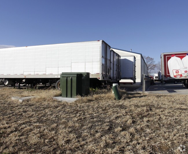
309 Sw 32Nd St
Lincoln
Edm Industrial Center 3Rd Addition
Lincoln, NE
EDM INDUSTRIAL CENTER 3RD ADDITION, LOT 1
10-29-101-001-000
Lancaster
Commercialnec
Nebraska
0
1
2025
28.09 AC
003302
West
141,969 SF
DEMOGRAPHICS near 309 Sw 32Nd St
1 Mile
3 Mile
5 Mile
2024 Total Population
2,431
29,713
110,782
2029 Population
2,506
30,786
114,808
Pop Growth 2024-2029
+ 3.09%
+ 3.61%
+ 3.63%
Average Age
36
35
34
2024 Total Households
748
10,318
43,274
HH Growth 2024-2029
+ 3.61%
+ 3.85%
+ 3.95%
Median Household Inc
$74,195
$67,969
$49,947
Avg Household Size
2.50
2.60
2.30
2024 Avg HH Vehicles
2.00
2.00
2.00
Median Home Value
$226,298
$201,008
$187,681
Median Year Built
1996
1994
1974
Nearby Places
Map Layers
Map Styles
 Street
 Aerial
- Restaurants
- Banks
- Shops
- Fitness
- Groceries
PUBLIC TRANSPORTATION
COMMUTER RAIL
Lincoln Amtrak Station (California Zephyr - Amtrak)
DRIVE
WALK
Distance
Lincoln Amtrak Station (California Zephyr - Amtrak)
8 min
3.8 mi
AIRPORT
Lincoln
DRIVE
WALK
Distance
Lincoln
9 min
4.7 mi
Freight Ports
Tulsa Port Of Catoosa
DRIVE
WALK
Distance
Tulsa Port Of Catoosa
472 min
398.5 mi
Nearby Properties
Address
Land Use
TOTAL SIZE
Lot Size
Zoning
Address
Land Use
TOTAL SIZE
Lot Size
Zoning
301,402 SF
35.38 AC
H3
Address
Land Use
TOTAL SIZE
Lot Size
Zoning
65,430 SF
1.12 AC
B4
Address
Land Use
TOTAL SIZE
Lot Size
Zoning
72,047 SF
1.03 AC
B4
Address
Land Use
TOTAL SIZE
Lot Size
Zoning
708,074 SF
66.04 AC
I1
Address
Land Use
TOTAL SIZE
Lot Size
Zoning
92,418 SF
0.79 AC
B4
Address
Land Use
TOTAL SIZE
Lot Size
Zoning
56,867 SF
22.10 AC
NULL
Address
Land Use
TOTAL SIZE
Lot Size
Zoning
27,398 SF
7.78 AC
R3
Address
Land Use
TOTAL SIZE
Lot Size
Zoning
121,860 SF
6.51 AC
P
Address
Land Use
TOTAL SIZE
Lot Size
Zoning
317,607 SF
20.81 AC
I2
Address
Land Use
TOTAL SIZE
Lot Size
Zoning
60,761 SF
0.75 AC
B4
Address
Land Use
TOTAL SIZE
Lot Size
Zoning
33,730 SF
6.88 AC
NULL
Address
Land Use
TOTAL SIZE
Lot Size
Zoning
25,620 SF
6.87 AC
NULL
Address
Land Use
TOTAL SIZE
Lot Size
Zoning
347,060 SF
28.22 AC
I1
Address
Land Use
TOTAL SIZE
Lot Size
Zoning
234,701 SF
29.39 AC
I1
Address
Land Use
TOTAL SIZE
Lot Size
Zoning
60,678 SF
3.64 AC
I1
Address
Land Use
TOTAL SIZE
Lot Size
Zoning
35,173 SF
0.47 AC
B4
Address
Land Use
TOTAL SIZE
Lot Size
Zoning
30,555 SF
8.09 AC
NULL
Address
Land Use
TOTAL SIZE
Lot Size
Zoning
26,584 SF
8 AC
R3
Address
Land Use
TOTAL SIZE
Lot Size
Zoning
85,326 SF
0.75 AC
B4
Address
Land Use
TOTAL SIZE
Lot Size
Zoning
76.33 AC
AG
Address
Land Use
TOTAL SIZE
Lot Size
Zoning
57,673 SF
0.75 AC
B4
Address
Land Use
TOTAL SIZE
Lot Size
Zoning
148,200 SF
9.98 AC
I1
Address
Land Use
TOTAL SIZE
Lot Size
Zoning
65,381 SF
0.37 AC
B4
Address
Land Use
TOTAL SIZE
Lot Size
Zoning
186,291 SF
12.64 AC
I2
Address
Land Use
TOTAL SIZE
Lot Size
Zoning
40,162 SF
3.60 AC
NULL
Address
Land Use
TOTAL SIZE
Lot Size
Zoning
237,360 SF
6.91 AC
I1
Address
Land Use
TOTAL SIZE
Lot Size
Zoning
158.44 AC
I1
Address
Land Use
TOTAL SIZE
Lot Size
Zoning
81,135 SF
9.31 AC
B2
Address
Land Use
TOTAL SIZE
Lot Size
Zoning
217,413 SF
15.93 AC
I2
The World's #1 Commercial Real Estate Marketplace
Connect with us
© 2026 CoStar Group
The information above has been obtained from sources believed reliable. While we do not doubt its accuracy we have not verified it and make no guarantee, warranty or representation about it. It is your responsibility to independently confirm its accuracy and completeness. Any projections, opinions, assumptions, or estimates used are for example only and do not represent the current or future performance of the property. The value of this transaction to you depends on tax and other factors which should be evaluated by your tax, financial, and legal advisors. You and your advisors should conduct a careful, independent investigation of the property to determine to your satisfaction the suitability of the property for your needs.