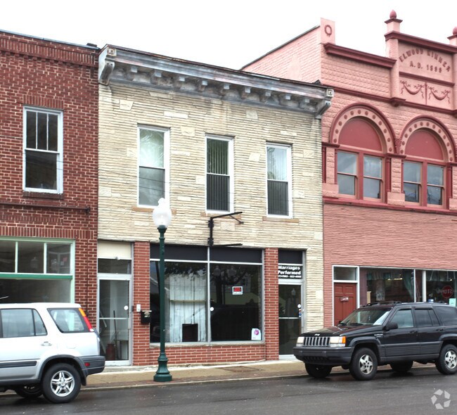
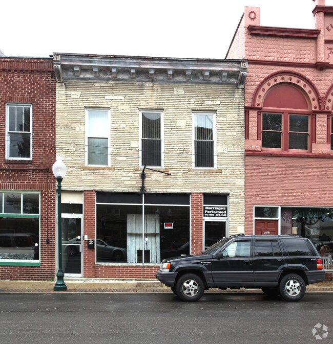
Property Record
310 Main St, Greenup, KY 41144

Property Detail
310 Main St
Huntington-Ashland, WV-KY-OH
MAIN ST 70 X 22 X 70 X 22 TR
148-20-03-087.00
Greenup
Homeimprovementgardencenterhomedepotlowes
Kentucky
AE The base floodplain where base flood elevations are provided. AE Zones are now used on new format FIRMs instead of A1-A30 Zones.
72
2025
0.03 AC
2025
Greenup County
040502
Huntington/Ashland
2,640 SF
NEARBY LISTINGS FOR SALE OR LEASE
-
-
View all Greenup listings for sale on LoopNet.com
DEMOGRAPHICS near 310 Main St
1 mile
3 mile
5 mile
2025 Total Population
1,109
4,167
11,051
2030 Population
1,095
4,151
11,025
Pop Growth 2025-2030
(1.26%)
(0.38%)
(0.24%)
Average Age
43
43
43
2025 Total Households
420
1,582
4,266
HH Growth 2025-2030
(1.43%)
(0.38%)
(0.26%)
Median Household Inc
$57,962
$63,473
$62,943
Avg Household Size
2.40
2.40
2.40
2025 Avg HH Vehicles
2.00
2.00
2.00
Median Home Value
$152,083
$149,608
$151,594
Median Year Built
1968
1977
1981
Nearby Places
Map Layers
Map Styles
 Street
 Aerial
Layers
 Traffic
 Biking
Places
Listings with unknown addresses are not visible on the map
- Restaurants
- Banks
- Shops
- Fitness
- Groceries
PUBLIC TRANSPORTATION
AIRPORT
Tri-State/Milton J Ferguson Field
Drive
Walk
Distance
Tri-State/Milton J Ferguson Field
39 min
25.6 mi
Nearby Properties
Address
Land Use
TOTAL SIZE
Lot Size
Zoning
Address
Land Use
TOTAL SIZE
Lot Size
Zoning
Address
Land Use
TOTAL SIZE
Lot Size
Zoning
60.39 AC
Address
Land Use
TOTAL SIZE
Lot Size
Zoning
186,236 SF
10.97 AC
Address
Land Use
TOTAL SIZE
Lot Size
Zoning
0.93 AC
Address
Land Use
TOTAL SIZE
Lot Size
Zoning
Address
Land Use
TOTAL SIZE
Lot Size
Zoning
6.38 AC
Address
Land Use
TOTAL SIZE
Lot Size
Zoning
31.10 AC
Address
Land Use
TOTAL SIZE
Lot Size
Zoning
12.26 AC
Address
Land Use
TOTAL SIZE
Lot Size
Zoning
1.29 AC
Address
Land Use
TOTAL SIZE
Lot Size
Zoning
18,560 SF
Address
Land Use
TOTAL SIZE
Lot Size
Zoning
Address
Land Use
TOTAL SIZE
Lot Size
Zoning
227.46 AC
Address
Land Use
TOTAL SIZE
Lot Size
Zoning
39,808 SF
7.49 AC
Address
Land Use
TOTAL SIZE
Lot Size
Zoning
85,406 SF
44.17 AC
Address
Land Use
TOTAL SIZE
Lot Size
Zoning
3.59 AC
Address
Land Use
TOTAL SIZE
Lot Size
Zoning
15 AC
Address
Land Use
TOTAL SIZE
Lot Size
Zoning
4.60 AC
Address
Land Use
TOTAL SIZE
Lot Size
Zoning
1.04 AC
Address
Land Use
TOTAL SIZE
Lot Size
Zoning
1,980 SF
10.23 AC
Address
Land Use
TOTAL SIZE
Lot Size
Zoning
Address
Land Use
TOTAL SIZE
Lot Size
Zoning
10,640 SF
Address
Land Use
TOTAL SIZE
Lot Size
Zoning
Address
Land Use
TOTAL SIZE
Lot Size
Zoning
20,916 SF
4.50 AC
Address
Land Use
TOTAL SIZE
Lot Size
Zoning
105,628 SF
190.73 AC
Address
Land Use
TOTAL SIZE
Lot Size
Zoning
0.29 AC
Address
Land Use
TOTAL SIZE
Lot Size
Zoning
10,748 SF
1.91 AC
Address
Land Use
TOTAL SIZE
Lot Size
Zoning
7,200 SF
0.21 AC
Address
Land Use
TOTAL SIZE
Lot Size
Zoning
125,790 SF
11.79 AC
Address
Land Use
TOTAL SIZE
Lot Size
Zoning
5,625 SF
0.62 AC
Address
Land Use
TOTAL SIZE
Lot Size
Zoning
3,404 SF
1.34 AC
The World's #1 Commercial Real Estate Marketplace
Connect with us
© 2026 CoStar Group
The information above has been obtained from sources believed reliable. While we do not doubt its accuracy we have not verified it and make no guarantee, warranty or representation about it. It is your responsibility to independently confirm its accuracy and completeness. Any projections, opinions, assumptions, or estimates used are for example only and do not represent the current or future performance of the property. The value of this transaction to you depends on tax and other factors which should be evaluated by your tax, financial, and legal advisors. You and your advisors should conduct a careful, independent investigation of the property to determine to your satisfaction the suitability of the property for your needs.