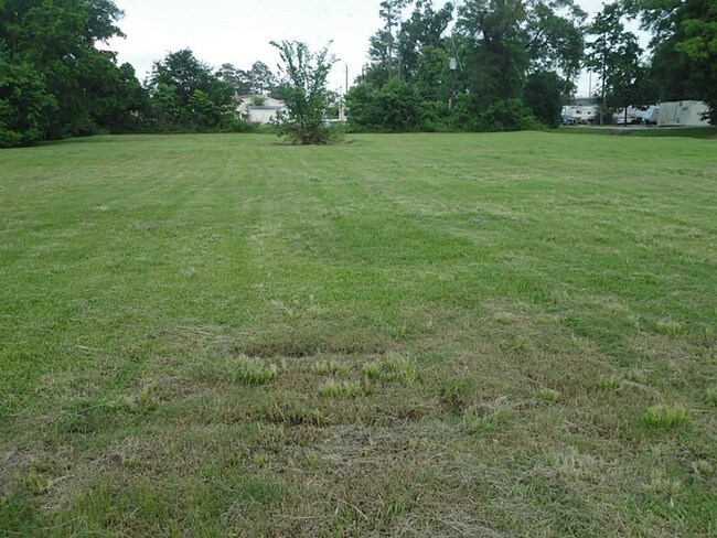
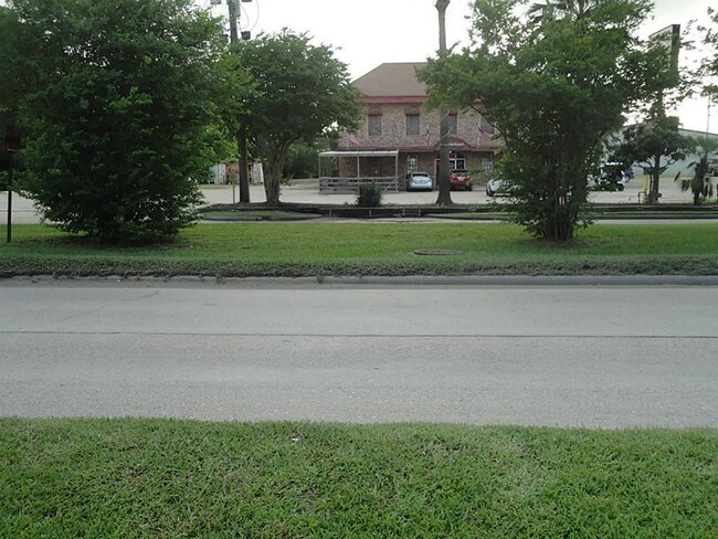
Property Record
310 Sheldon Rd, Channelview, TX 77530

Property Detail
310 Sheldon Rd
0642270010002
TR 2 BLK 1 DEZAVALLA ACRES
Warehouse
HARRIS
C and X Area of minimal flood hazard, usually depicted on FIRMs as above the 500-year flood level.
Texas
2024
0.85 AC
2025
Gulf Freeway/Pasadena
252500
Houston
1,026 SF
Houston-Pasadena-The Woodlands, TX
NEARBY LISTINGS FOR SALE OR LEASE
DEMOGRAPHICS near 310 Sheldon Rd
1 mile
3 mile
5 mile
2025 Total Population
6,669
57,290
120,126
2030 Population
6,997
60,682
127,243
Pop Growth 2025-2030
+ 4.92%
+ 5.92%
+ 5.92%
Average Age
34
34
35
2025 Total Households
2,040
16,683
37,300
HH Growth 2025-2030
+ 5.00%
+ 6.08%
+ 6.08%
Median Household Inc
$54,339
$64,423
$64,110
Avg Household Size
3.20
3.30
3.20
2025 Avg HH Vehicles
2.00
2.00
2.00
Median Home Value
$134,174
$202,830
$212,272
Median Year Built
1977
1987
1984
Nearby Places
Map Layers
Map Styles
 Street
 Aerial
Transit
 Traffic
 Biking
Places
Listings with unknown addresses are not visible on the map
- Restaurants
- Banks
- Shops
- Fitness
- Groceries
PUBLIC TRANSPORTATION
AIRPORT
William P Hobby
Drive
Walk
Distance
William P Hobby
34 min
20.6 mi
George Bush Intcntl/Houston
Drive
Walk
Distance
George Bush Intcntl/Houston
31 min
24.7 mi
Freight Ports
Port of Houston
Drive
Walk
Distance
Port of Houston
21 min
12.6 mi
SALE & LEASE HISTORY
LISTING DATE
SALE/LEASE

Nov 07, 2017
For Lease
Nearby Properties
Address
Land Use
TOTAL SIZE
Lot Size
Zoning
Address
Land Use
TOTAL SIZE
Lot Size
Zoning
16,879,748 SF
228.46 AC
Address
Land Use
TOTAL SIZE
Lot Size
Zoning
12,525,600 SF
260.20 AC
Address
Land Use
TOTAL SIZE
Lot Size
Zoning
10,093,711 SF
30.83 AC
Address
Land Use
TOTAL SIZE
Lot Size
Zoning
8,203,364 SF
183.34 AC
Address
Land Use
TOTAL SIZE
Lot Size
Zoning
8,735,136 SF
185.66 AC
Address
Land Use
TOTAL SIZE
Lot Size
Zoning
9,585,990 SF
122.92 AC
Address
Land Use
TOTAL SIZE
Lot Size
Zoning
2,936,644 SF
59.90 AC
Address
Land Use
TOTAL SIZE
Lot Size
Zoning
1,042,908 SF
28.92 AC
Address
Land Use
TOTAL SIZE
Lot Size
Zoning
680,077 SF
86.92 AC
Address
Land Use
TOTAL SIZE
Lot Size
Zoning
33.93 AC
Address
Land Use
TOTAL SIZE
Lot Size
Zoning
760,851 SF
41.87 AC
Address
Land Use
TOTAL SIZE
Lot Size
Zoning
248.91 AC
Address
Land Use
TOTAL SIZE
Lot Size
Zoning
56.69 AC
Address
Land Use
TOTAL SIZE
Lot Size
Zoning
59.10 AC
Address
Land Use
TOTAL SIZE
Lot Size
Zoning
30.84 AC
Address
Land Use
TOTAL SIZE
Lot Size
Zoning
1,306,874 SF
6.76 AC
Address
Land Use
TOTAL SIZE
Lot Size
Zoning
730,000 SF
11.57 AC
Address
Land Use
TOTAL SIZE
Lot Size
Zoning
2.67 AC
Address
Land Use
TOTAL SIZE
Lot Size
Zoning
184.18 AC
Address
Land Use
TOTAL SIZE
Lot Size
Zoning
398,995 SF
27.39 AC
Address
Land Use
TOTAL SIZE
Lot Size
Zoning
43.70 AC
Address
Land Use
TOTAL SIZE
Lot Size
Zoning
202,544 SF
4.06 AC
Address
Land Use
TOTAL SIZE
Lot Size
Zoning
485,662 SF
48.80 AC
Address
Land Use
TOTAL SIZE
Lot Size
Zoning
11,203 SF
5.85 AC
Address
Land Use
TOTAL SIZE
Lot Size
Zoning
2.51 AC
Address
Land Use
TOTAL SIZE
Lot Size
Zoning
195,732 SF
19.50 AC
Address
Land Use
TOTAL SIZE
Lot Size
Zoning
498,770 SF
25.23 AC
Address
Land Use
TOTAL SIZE
Lot Size
Zoning
108.68 AC
Address
Land Use
TOTAL SIZE
Lot Size
Zoning
205,001 SF
16.63 AC
Address
Land Use
TOTAL SIZE
Lot Size
Zoning
75,870 SF
42.32 AC
The World's #1 Commercial Real Estate Marketplace
Connect with us
© 2026 CoStar Group
The information above has been obtained from sources believed reliable. While we do not doubt its accuracy we have not verified it and make no guarantee, warranty or representation about it. It is your responsibility to independently confirm its accuracy and completeness. Any projections, opinions, assumptions, or estimates used are for example only and do not represent the current or future performance of the property. The value of this transaction to you depends on tax and other factors which should be evaluated by your tax, financial, and legal advisors. You and your advisors should conduct a careful, independent investigation of the property to determine to your satisfaction the suitability of the property for your needs.