Property Record
3100 Nc Highway 150 E, Greensboro, NC 27455


NEARBY LISTINGS FOR SALE OR LEASE
-
-
View all Greensboro listings for sale on LoopNet.com
Property Detail
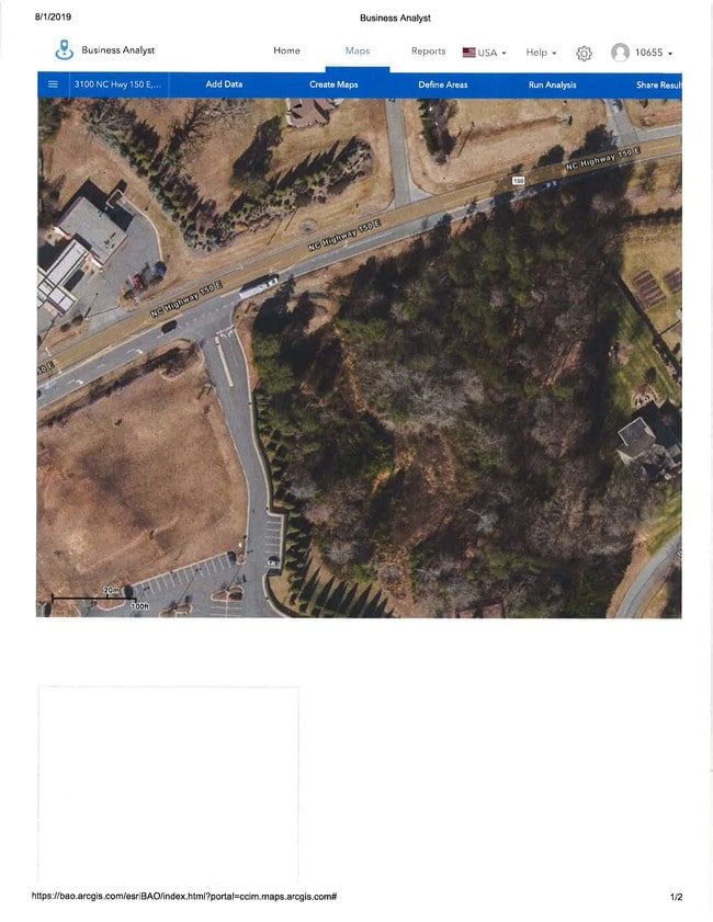
3100 Nc Highway 150 E
Greensboro-High Point, NC
Battle Forest Village Sub Sec
0139205
1.67AC 4 1 PB 177-70 GUNTERS CROSS PL:177-70
Storebuilding
Guilford
X
North Carolina
3710786900J
4
2024
1.67 AC
2025
NE Guilford County
015602
Greensboro/Winston-Salem
18,536 SF
DEMOGRAPHICS near 3100 Nc Highway 150 E
1 Mile
3 Mile
5 Mile
2024 Total Population
1,897
8,791
26,982
2029 Population
1,902
8,825
26,962
Pop Growth 2024-2029
+ 0.26%
+ 0.39%
(0.07%)
Average Age
41
40
41
2024 Total Households
658
3,013
9,663
HH Growth 2024-2029
+ 0.15%
+ 0.37%
(0.09%)
Median Household Inc
$111,250
$110,529
$101,667
Avg Household Size
2.90
2.90
2.70
2024 Avg HH Vehicles
2.00
2.00
2.00
Median Home Value
$400,333
$395,007
$358,066
Median Year Built
1999
1999
1998
Nearby Places
Map Layers
Map Styles
 Street
 Aerial
- Restaurants
- Banks
- Shops
- Fitness
- Groceries
PUBLIC TRANSPORTATION
AIRPORT
Piedmont Triad International
DRIVE
WALK
Distance
Piedmont Triad International
30 min
16.6 mi
Freight Ports
Virginia Port Authority - Richmond
DRIVE
WALK
Distance
Virginia Port Authority - Richmond
233 min
180.3 mi
SALE & LEASE HISTORY
LISTING DATE
SALE/LEASE

Sep 27, 2021
For Sale
Jul 15, 2019
For Sale
Nearby Properties
Address
Land Use
TOTAL SIZE
Lot Size
Zoning
Address
Land Use
TOTAL SIZE
Lot Size
Zoning
412,533 SF
99.94 AC
AG
Address
Land Use
TOTAL SIZE
Lot Size
Zoning
80,676 SF
60.54 AC
AG
Address
Land Use
TOTAL SIZE
Lot Size
Zoning
55,170 SF
17 AC
HB
Address
Land Use
TOTAL SIZE
Lot Size
Zoning
526.03 AC
R-3
Address
Land Use
TOTAL SIZE
Lot Size
Zoning
7,266 SF
556.05 AC
AG
Address
Land Use
TOTAL SIZE
Lot Size
Zoning
10,700 SF
210.46 AC
RES AG/RES
Address
Land Use
TOTAL SIZE
Lot Size
Zoning
250.69 AC
AG
Address
Land Use
TOTAL SIZE
Lot Size
Zoning
888 SF
270 AC
AG
Address
Land Use
TOTAL SIZE
Lot Size
Zoning
3,644 SF
348.36 AC
AG
Address
Land Use
TOTAL SIZE
Lot Size
Zoning
2,898 SF
30.31 AC
CZ-GB
Address
Land Use
TOTAL SIZE
Lot Size
Zoning
193.19 AC
AG
Address
Land Use
TOTAL SIZE
Lot Size
Zoning
11,172 SF
154.16 AC
AG
Address
Land Use
TOTAL SIZE
Lot Size
Zoning
3,638 SF
149.60 AC
AG
Address
Land Use
TOTAL SIZE
Lot Size
Zoning
18,692 SF
9.67 AC
AG
Address
Land Use
TOTAL SIZE
Lot Size
Zoning
10,575 SF
1.78 AC
AG
Address
Land Use
TOTAL SIZE
Lot Size
Zoning
129.79 AC
AG
Address
Land Use
TOTAL SIZE
Lot Size
Zoning
3,577 SF
7.33 AC
AG
Address
Land Use
TOTAL SIZE
Lot Size
Zoning
21,685 SF
15.39 AC
RS-40
Address
Land Use
TOTAL SIZE
Lot Size
Zoning
780 SF
105 AC
AG
Address
Land Use
TOTAL SIZE
Lot Size
Zoning
1,060 SF
107.40 AC
AG
Address
Land Use
TOTAL SIZE
Lot Size
Zoning
102.16 AC
AG
Address
Land Use
TOTAL SIZE
Lot Size
Zoning
4,935 SF
48.77 AC
AG
Address
Land Use
TOTAL SIZE
Lot Size
Zoning
4,321 SF
0.92 AC
AG
Address
Land Use
TOTAL SIZE
Lot Size
Zoning
9,900 SF
4.18 AC
AG
Address
Land Use
TOTAL SIZE
Lot Size
Zoning
13,771 SF
0.99 AC
AG
Address
Land Use
TOTAL SIZE
Lot Size
Zoning
1,651 SF
135 AC
AG
Address
Land Use
TOTAL SIZE
Lot Size
Zoning
4,716 SF
20.57 AC
AG
Address
Land Use
TOTAL SIZE
Lot Size
Zoning
5,813 SF
5.23 AC
AG
Address
Land Use
TOTAL SIZE
Lot Size
Zoning
10.01 AC
AG
The World's #1 Commercial Real Estate Marketplace
Connect with us
© 2025 CoStar Group
The information above has been obtained from sources believed reliable. While we do not doubt its accuracy we have not verified it and make no guarantee, warranty or representation about it. It is your responsibility to independently confirm its accuracy and completeness. Any projections, opinions, assumptions, or estimates used are for example only and do not represent the current or future performance of the property. The value of this transaction to you depends on tax and other factors which should be evaluated by your tax, financial, and legal advisors. You and your advisors should conduct a careful, independent investigation of the property to determine to your satisfaction the suitability of the property for your needs.