Property Record
3101 Highway 62 E, Mount Vernon, IN 47620


Save to a Folder
{{folder.Name}}
{{folder.ListingIds.length}} Properties
{{folder.ListingIds.length}} Property
Create a New Folder
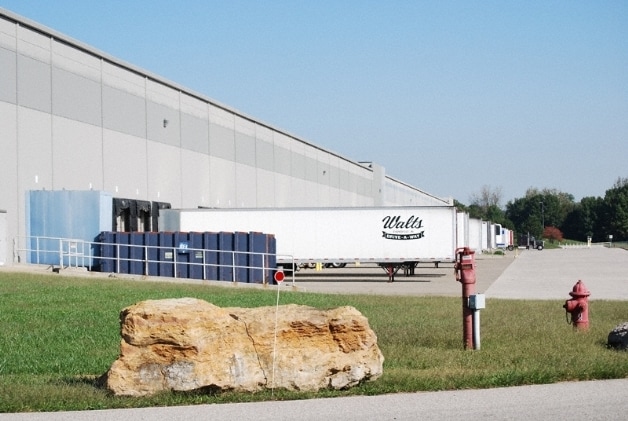
Property Detail
3101 Highway 62 E
65-15-03-300-020.002-017
PT E/2 SE 4-7-13, PT W/2 SW 3-7-13 PT W/2 NW 10-7-13 PT E/2 NE 9-7-13 9.32 + 6.54 + 14.31 + 12.75 = 42.92A MP 504-020-02-01-
Commercialbuilding
Posey
M2
Indiana
AE The base floodplain where base flood elevations are provided. AE Zones are now used on new format FIRMs instead of A1-A30 Zones.
42.92 AC
2025
Posey County
2025
Evansville
040700
Evansville, IN
611,900 SF
NEARBY LISTINGS FOR SALE OR LEASE
-
-
View all Mount Vernon listings for sale on LoopNet.com
DEMOGRAPHICS near 3101 Highway 62 E
1 mile
3 mile
5 mile
2025 Total Population
1,048
7,527
9,225
2030 Population
1,069
7,610
9,315
Pop Growth 2025-2030
+ 2.00%
+ 1.10%
+ 0.98%
Average Age
41
41
41
2025 Total Households
455
3,199
3,861
HH Growth 2025-2030
+ 1.98%
+ 1.06%
+ 0.96%
Median Household Inc
$62,029
$63,216
$69,125
Avg Household Size
2.20
2.30
2.30
2025 Avg HH Vehicles
2.00
2.00
2.00
Median Home Value
$145,454
$177,523
$197,055
Median Year Built
1970
1971
1972
Nearby Places
Map Layers
Map Styles
 Street
 Aerial
Layers
 Traffic
 Biking
Places
Listings with unknown addresses are not visible on the map
- Restaurants
- Banks
- Shops
- Fitness
- Groceries
PUBLIC TRANSPORTATION
AIRPORT
Evansville Regional
Drive
Walk
Distance
Evansville Regional
38 min
23.6 mi
Freight Ports
Port of Toledo
Drive
Walk
Distance
Port of Toledo
485 min
412.8 mi
Nearby Properties
Address
Land Use
TOTAL SIZE
Lot Size
Zoning
Address
Land Use
TOTAL SIZE
Lot Size
Zoning
39,120 SF
Address
Land Use
TOTAL SIZE
Lot Size
Zoning
215,625 SF
75.12 AC
M2
Address
Land Use
TOTAL SIZE
Lot Size
Zoning
1,625 SF
81.99 AC
M2
Address
Land Use
TOTAL SIZE
Lot Size
Zoning
42,839 SF
42.82 AC
Address
Land Use
TOTAL SIZE
Lot Size
Zoning
5,832 SF
Address
Land Use
TOTAL SIZE
Lot Size
Zoning
62,400 SF
Address
Land Use
TOTAL SIZE
Lot Size
Zoning
68,280 SF
50.44 AC
M2
Address
Land Use
TOTAL SIZE
Lot Size
Zoning
2,450 SF
60 AC
Address
Land Use
TOTAL SIZE
Lot Size
Zoning
123,168 SF
37.62 AC
M2
Address
Land Use
TOTAL SIZE
Lot Size
Zoning
36,560 SF
Address
Land Use
TOTAL SIZE
Lot Size
Zoning
4,180 SF
1.90 AC
Address
Land Use
TOTAL SIZE
Lot Size
Zoning
13,172 SF
4.93 AC
Address
Land Use
TOTAL SIZE
Lot Size
Zoning
59,400 SF
16.23 AC
Address
Land Use
TOTAL SIZE
Lot Size
Zoning
5,000 SF
13.33 AC
Address
Land Use
TOTAL SIZE
Lot Size
Zoning
40,077 SF
6.35 AC
A
Address
Land Use
TOTAL SIZE
Lot Size
Zoning
5,562 SF
26.37 AC
M2
Address
Land Use
TOTAL SIZE
Lot Size
Zoning
1,600 SF
2.35 AC
Address
Land Use
TOTAL SIZE
Lot Size
Zoning
15,926 SF
54 AC
M2
Address
Land Use
TOTAL SIZE
Lot Size
Zoning
16,254 SF
1 AC
Address
Land Use
TOTAL SIZE
Lot Size
Zoning
120,000 SF
7.19 AC
M2
Address
Land Use
TOTAL SIZE
Lot Size
Zoning
120,000 SF
5.93 AC
Address
Land Use
TOTAL SIZE
Lot Size
Zoning
1,275 SF
22.62 AC
A
Address
Land Use
TOTAL SIZE
Lot Size
Zoning
23,941 SF
0.24 AC
Address
Land Use
TOTAL SIZE
Lot Size
Zoning
96 SF
51.45 AC
M2
Address
Land Use
TOTAL SIZE
Lot Size
Zoning
13,092 SF
0.63 AC
Address
Land Use
TOTAL SIZE
Lot Size
Zoning
85,280 SF
6.36 AC
A
Address
Land Use
TOTAL SIZE
Lot Size
Zoning
29,039 SF
0.39 AC
Address
Land Use
TOTAL SIZE
Lot Size
Zoning
15,600 SF
0.92 AC
Address
Land Use
TOTAL SIZE
Lot Size
Zoning
2,071 SF
19.60 AC
M2
Address
Land Use
TOTAL SIZE
Lot Size
Zoning
31,720 SF
5.25 AC
The World's #1 Commercial Real Estate Marketplace
Connect with us
© 2026 CoStar Group
The information above has been obtained from sources believed reliable. While we do not doubt its accuracy we have not verified it and make no guarantee, warranty or representation about it. It is your responsibility to independently confirm its accuracy and completeness. Any projections, opinions, assumptions, or estimates used are for example only and do not represent the current or future performance of the property. The value of this transaction to you depends on tax and other factors which should be evaluated by your tax, financial, and legal advisors. You and your advisors should conduct a careful, independent investigation of the property to determine to your satisfaction the suitability of the property for your needs.