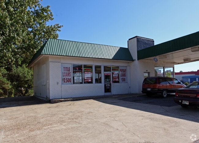
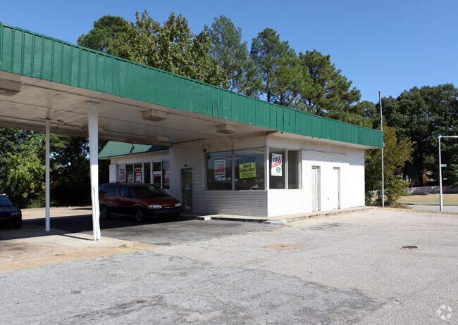
Property Record
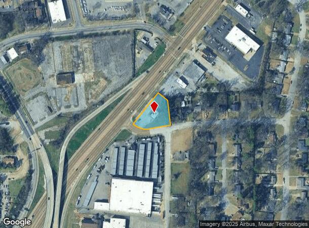
3102 Austin Peay Hwy, Memphis, TN 38128
NEARBY LISTINGS FOR SALE OR LEASE
Property Detail
3102 Austin Peay Hwy
08-5027-0-0019
Broadmoor Park Sc-1
Storebuilding
SES AUSTIN PEAY HWY COR FAIRHAVEN RD NE
X
Shelby
47157C0285F
Tennessee
2024
0.75 AC
2025
North
020541
Memphis
1,376 SF
Memphis, TN-MS-AR
DEMOGRAPHICS near 3102 Austin Peay Hwy
1 Mile
3 Mile
5 Mile
2024 Total Population
8,346
64,287
168,321
2029 Population
8,282
63,214
165,882
Pop Growth 2024-2029
(0.77%)
(1.67%)
(1.45%)
Average Age
35
36
36
2024 Total Households
3,072
23,395
62,896
HH Growth 2024-2029
(0.62%)
(1.77%)
(1.56%)
Median Household Inc
$44,909
$46,877
$46,336
Avg Household Size
2.60
2.70
2.60
2024 Avg HH Vehicles
2.00
2.00
2.00
Median Home Value
$137,138
$132,260
$145,860
Median Year Built
1972
1973
1971
Nearby Places
- Restaurants
- Banks
- Shops
- Fitness
- Groceries
PUBLIC TRANSPORTATION
AIRPORT
Memphis International
DRIVE
WALK
Distance
Memphis International
21 min
13.9 mi
Freight Ports
Port of Shreveport
DRIVE
WALK
Distance
Port of Shreveport
410 min
378.6 mi
SALE & LEASE HISTORY
LISTING DATE
SALE/LEASE

Sep 21, 2020
For Sale
Nearby Properties
Address
Land Use
TOTAL SIZE
Lot Size
Zoning
Address
Land Use
TOTAL SIZE
Lot Size
Zoning
1,709,372 SF
28.70 AC
EMP
Address
Land Use
TOTAL SIZE
Lot Size
Zoning
1,146,617 SF
62.32 AC
EMP
Address
Land Use
TOTAL SIZE
Lot Size
Zoning
917,056 SF
65.53 AC
EMP
Address
Land Use
TOTAL SIZE
Lot Size
Zoning
31,305 SF
17.89 AC
RU-3
Address
Land Use
TOTAL SIZE
Lot Size
Zoning
78,603 SF
23.30 AC
R-6
Address
Land Use
TOTAL SIZE
Lot Size
Zoning
38,200 SF
22.60 AC
RU-3
Address
Land Use
TOTAL SIZE
Lot Size
Zoning
11,446 SF
29.76 AC
RU-3
Address
Land Use
TOTAL SIZE
Lot Size
Zoning
37,490 SF
4.42 AC
CMU-2
Address
Land Use
TOTAL SIZE
Lot Size
Zoning
56,983 SF
12.34 AC
RU-3
Address
Land Use
TOTAL SIZE
Lot Size
Zoning
39,018 SF
22.21 AC
RU-2
Address
Land Use
TOTAL SIZE
Lot Size
Zoning
22,798 SF
9.63 AC
RU-3
Address
Land Use
TOTAL SIZE
Lot Size
Zoning
45,939 SF
5.70 AC
R-10
Address
Land Use
TOTAL SIZE
Lot Size
Zoning
181,319 SF
14.82 AC
CMU-2
Address
Land Use
TOTAL SIZE
Lot Size
Zoning
90,574 SF
40.74 AC
EMP
Address
Land Use
TOTAL SIZE
Lot Size
Zoning
201,722 SF
64.13 AC
EMP
Address
Land Use
TOTAL SIZE
Lot Size
Zoning
50,447 SF
6.28 AC
R-10
Address
Land Use
TOTAL SIZE
Lot Size
Zoning
127,456 SF
15.05 AC
EMP
Address
Land Use
TOTAL SIZE
Lot Size
Zoning
180,630 SF
21.89 AC
CMU-2
Address
Land Use
TOTAL SIZE
Lot Size
Zoning
50,538 SF
5 AC
R-10
Address
Land Use
TOTAL SIZE
Lot Size
Zoning
58,484 SF
19.95 AC
RU-3
Address
Land Use
TOTAL SIZE
Lot Size
Zoning
69,158 SF
7.75 AC
RU-3
Address
Land Use
TOTAL SIZE
Lot Size
Zoning
93,514 SF
12.47 AC
R-8
Address
Land Use
TOTAL SIZE
Lot Size
Zoning
136,505 SF
6.76 AC
RU-3
Address
Land Use
TOTAL SIZE
Lot Size
Zoning
36,388 SF
13.09 AC
RU-3
Address
Land Use
TOTAL SIZE
Lot Size
Zoning
26,544 SF
17.63 AC
RU-3
Address
Land Use
TOTAL SIZE
Lot Size
Zoning
101,800 SF
15.97 AC
CMU-2
Address
Land Use
TOTAL SIZE
Lot Size
Zoning
66.90 AC
CMU-2
Address
Land Use
TOTAL SIZE
Lot Size
Zoning
28,512 SF
7 AC
CMU-3
Address
Land Use
TOTAL SIZE
Lot Size
Zoning
74,934 SF
15.37 AC
RU-3
Address
Land Use
TOTAL SIZE
Lot Size
Zoning
54,993 SF
20.39 AC
R-10
The World's #1 Commercial Real Estate Marketplace
Connect with us
© 2025 CoStar Group
The information above has been obtained from sources believed reliable. While we do not doubt its accuracy we have not verified it and make no guarantee, warranty or representation about it. It is your responsibility to independently confirm its accuracy and completeness. Any projections, opinions, assumptions, or estimates used are for example only and do not represent the current or future performance of the property. The value of this transaction to you depends on tax and other factors which should be evaluated by your tax, financial, and legal advisors. You and your advisors should conduct a careful, independent investigation of the property to determine to your satisfaction the suitability of the property for your needs.