Property Record
311 Sheep Davis Rd, Concord, NH 03301
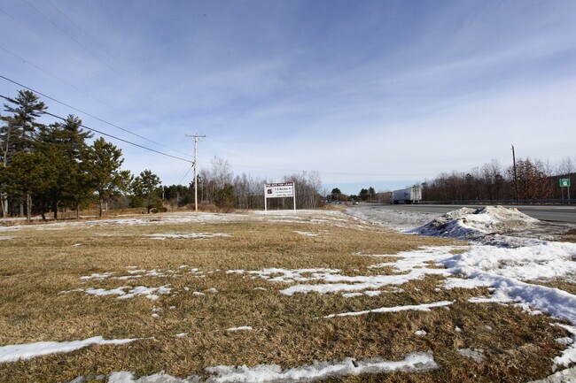

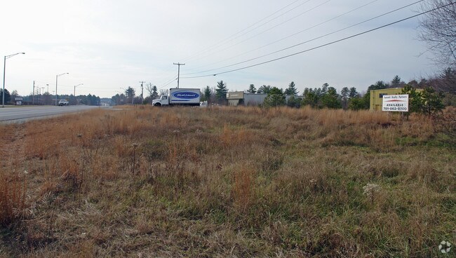
Property Detail
311 Sheep Davis Rd
Financialbuilding
MERRIMACK
GWP
New Hampshire
B and X Area of moderate flood hazard, usually the area between the limits of the 100-year and 500-year floods.
2.64 AC
2025
Concord/New Hampshire North Area
2025
Other Market Areas
044100
Concord, NH
5,116 SF
CNCD-000111I-000004-000022
NEARBY LISTINGS FOR SALE OR LEASE
DEMOGRAPHICS near 311 Sheep Davis Rd
1 mile
3 mile
5 mile
2025 Total Population
835
11,715
38,258
2030 Population
854
11,865
38,909
Pop Growth 2025-2030
+ 2.28%
+ 1.28%
+ 1.70%
Average Age
45
43
43
2025 Total Households
404
5,156
16,098
HH Growth 2025-2030
+ 2.23%
+ 1.24%
+ 1.78%
Median Household Inc
$84,515
$79,846
$88,094
Avg Household Size
2.10
2.20
2.20
2025 Avg HH Vehicles
2.00
2.00
2.00
Median Home Value
$333,928
$341,130
$362,406
Median Year Built
1984
1981
1972
Nearby Places
Map Layers
Map Styles
 Street
 Aerial
Layers
 Traffic
 Biking
Places
Listings with unknown addresses are not visible on the map
- Restaurants
- Banks
- Shops
- Fitness
- Groceries
SALE & LEASE HISTORY
LISTING DATE
SALE/LEASE

Sep 25, 2016
For Lease
Nearby Properties
Address
Land Use
TOTAL SIZE
Lot Size
Zoning
Address
Land Use
TOTAL SIZE
Lot Size
Zoning
196 AC
IS
Address
Land Use
TOTAL SIZE
Lot Size
Zoning
1,500 SF
RO
Address
Land Use
TOTAL SIZE
Lot Size
Zoning
293,984 SF
IS
Address
Land Use
TOTAL SIZE
Lot Size
Zoning
156 AC
IS
Address
Land Use
TOTAL SIZE
Lot Size
Zoning
65.25 AC
IN
Address
Land Use
TOTAL SIZE
Lot Size
Zoning
20 AC
RH
Address
Land Use
TOTAL SIZE
Lot Size
Zoning
11,576 SF
191 AC
C-1A
Address
Land Use
TOTAL SIZE
Lot Size
Zoning
41.49 AC
CG
Address
Land Use
TOTAL SIZE
Lot Size
Zoning
194,386 SF
33.30 AC
GWP
Address
Land Use
TOTAL SIZE
Lot Size
Zoning
10.85 AC
GWP
Address
Land Use
TOTAL SIZE
Lot Size
Zoning
13.23 AC
RH
Address
Land Use
TOTAL SIZE
Lot Size
Zoning
142,137 SF
10.23 AC
OFP
Address
Land Use
TOTAL SIZE
Lot Size
Zoning
21.45 AC
RH
Address
Land Use
TOTAL SIZE
Lot Size
Zoning
121,292 SF
10.69 AC
GWP
Address
Land Use
TOTAL SIZE
Lot Size
Zoning
41.95 AC
IN
Address
Land Use
TOTAL SIZE
Lot Size
Zoning
26.72 AC
IN
Address
Land Use
TOTAL SIZE
Lot Size
Zoning
7.48 AC
RM
Address
Land Use
TOTAL SIZE
Lot Size
Zoning
50.19 AC
GWP
Address
Land Use
TOTAL SIZE
Lot Size
Zoning
34.94 AC
RM
Address
Land Use
TOTAL SIZE
Lot Size
Zoning
136,536 SF
17.69 AC
GWP
Address
Land Use
TOTAL SIZE
Lot Size
Zoning
135,161 SF
36.20 AC
GWP
Address
Land Use
TOTAL SIZE
Lot Size
Zoning
114,620 SF
12.89 AC
GWP
Address
Land Use
TOTAL SIZE
Lot Size
Zoning
100,826 SF
0.64 AC
IS
Address
Land Use
TOTAL SIZE
Lot Size
Zoning
14.13 AC
GWP
Address
Land Use
TOTAL SIZE
Lot Size
Zoning
65,868 SF
10.40 AC
GWP
Address
Land Use
TOTAL SIZE
Lot Size
Zoning
98,070 SF
0.94 AC
IS
Address
Land Use
TOTAL SIZE
Lot Size
Zoning
9,000 SF
49.90 AC
C-1D
Address
Land Use
TOTAL SIZE
Lot Size
Zoning
8.58 AC
GWP
Address
Land Use
TOTAL SIZE
Lot Size
Zoning
15.55 AC
IN
Address
Land Use
TOTAL SIZE
Lot Size
Zoning
6.04 AC
GWP
The World's #1 Commercial Real Estate Marketplace
Connect with us
© 2026 CoStar Group
The information above has been obtained from sources believed reliable. While we do not doubt its accuracy we have not verified it and make no guarantee, warranty or representation about it. It is your responsibility to independently confirm its accuracy and completeness. Any projections, opinions, assumptions, or estimates used are for example only and do not represent the current or future performance of the property. The value of this transaction to you depends on tax and other factors which should be evaluated by your tax, financial, and legal advisors. You and your advisors should conduct a careful, independent investigation of the property to determine to your satisfaction the suitability of the property for your needs.