Property Record
3115 Roy Key Ave, Ames, IA 50010
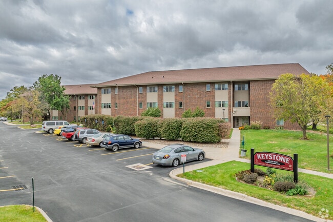

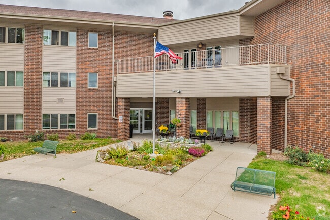
Property Detail
3115 Roy Key Ave
05-27-475-080
SECTION:27 TOWNSHIP:84 RANGE:24 NE SE BEG SW COR N115' E80.25' NE495.42' S328.2' W TO BEG
Apartment
Story
RH
Iowa
B and X Area of moderate flood hazard, usually the area between the limits of the 100-year and 500-year floods.
2.40 AC
0
North Ames
2025
Other Market Areas
000300
Ames, IA
44,844 SF
NEARBY LISTINGS FOR SALE OR LEASE
DEMOGRAPHICS near 3115 Roy Key Ave
1 mile
3 mile
5 mile
2025 Total Population
8,476
45,909
74,710
2030 Population
8,560
46,802
76,265
Pop Growth 2025-2030
+ 0.99%
+ 1.95%
+ 2.08%
Average Age
44
34
33
2025 Total Households
3,778
16,287
28,555
HH Growth 2025-2030
+ 0.82%
+ 2.44%
+ 2.51%
Median Household Inc
$77,284
$64,699
$63,076
Avg Household Size
2.10
2.10
2.10
2025 Avg HH Vehicles
2.00
2.00
2.00
Median Home Value
$290,179
$290,818
$296,868
Median Year Built
1975
1978
1991
Nearby Places
Map Layers
Map Styles
 Street
 Aerial
Layers
 Traffic
 Biking
Places
Listings with unknown addresses are not visible on the map
- Restaurants
- Banks
- Shops
- Fitness
- Groceries
Nearby Properties
Address
Land Use
TOTAL SIZE
Lot Size
Zoning
Address
Land Use
TOTAL SIZE
Lot Size
Zoning
2,216 SF
25.86 AC
RH
Address
Land Use
TOTAL SIZE
Lot Size
Zoning
54,112 SF
12.70 AC
Address
Land Use
TOTAL SIZE
Lot Size
Zoning
289,606 SF
1.77 AC
CSC
Address
Land Use
TOTAL SIZE
Lot Size
Zoning
45,627 SF
8.91 AC
RH
Address
Land Use
TOTAL SIZE
Lot Size
Zoning
215,689 SF
22.56 AC
HOC
Address
Land Use
TOTAL SIZE
Lot Size
Zoning
75,302 SF
16.66 AC
HOC
Address
Land Use
TOTAL SIZE
Lot Size
Zoning
117,797 SF
7.88 AC
Address
Land Use
TOTAL SIZE
Lot Size
Zoning
82,734 SF
1.42 AC
CSC
Address
Land Use
TOTAL SIZE
Lot Size
Zoning
156,833 SF
14.54 AC
PRC
Address
Land Use
TOTAL SIZE
Lot Size
Zoning
16,222 SF
10.44 AC
Address
Land Use
TOTAL SIZE
Lot Size
Zoning
78,379 SF
7.92 AC
SHM
Address
Land Use
TOTAL SIZE
Lot Size
Zoning
20,619 SF
2.44 AC
RH
Address
Land Use
TOTAL SIZE
Lot Size
Zoning
78,507 SF
3 AC
FS-RM
Address
Land Use
TOTAL SIZE
Lot Size
Zoning
384 SF
62.77 AC
GI
Address
Land Use
TOTAL SIZE
Lot Size
Zoning
171,800 SF
19.34 AC
PI
Address
Land Use
TOTAL SIZE
Lot Size
Zoning
105,550 SF
0.62 AC
CSC
Address
Land Use
TOTAL SIZE
Lot Size
Zoning
7,181 SF
20.11 AC
PRC
Address
Land Use
TOTAL SIZE
Lot Size
Zoning
97,767 SF
0.05 AC
CSC
Address
Land Use
TOTAL SIZE
Lot Size
Zoning
122,502 SF
10.96 AC
HOC
Address
Land Use
TOTAL SIZE
Lot Size
Zoning
88,584 SF
0.57 AC
Address
Land Use
TOTAL SIZE
Lot Size
Zoning
32,383 SF
8.36 AC
Address
Land Use
TOTAL SIZE
Lot Size
Zoning
24,274 SF
10.39 AC
Address
Land Use
TOTAL SIZE
Lot Size
Zoning
7,200 SF
4.32 AC
HOC
Address
Land Use
TOTAL SIZE
Lot Size
Zoning
8,820 SF
7.37 AC
PRC
Address
Land Use
TOTAL SIZE
Lot Size
Zoning
22,864 SF
2.13 AC
RH
Address
Land Use
TOTAL SIZE
Lot Size
Zoning
41,000 SF
1.73 AC
Address
Land Use
TOTAL SIZE
Lot Size
Zoning
63,021 SF
3.43 AC
Address
Land Use
TOTAL SIZE
Lot Size
Zoning
3,150 SF
26.50 AC
GI
Address
Land Use
TOTAL SIZE
Lot Size
Zoning
38,939 SF
3.63 AC
CCN
Address
Land Use
TOTAL SIZE
Lot Size
Zoning
93,977 SF
0.48 AC
The World's #1 Commercial Real Estate Marketplace
Connect with us
© 2026 CoStar Group
The information above has been obtained from sources believed reliable. While we do not doubt its accuracy we have not verified it and make no guarantee, warranty or representation about it. It is your responsibility to independently confirm its accuracy and completeness. Any projections, opinions, assumptions, or estimates used are for example only and do not represent the current or future performance of the property. The value of this transaction to you depends on tax and other factors which should be evaluated by your tax, financial, and legal advisors. You and your advisors should conduct a careful, independent investigation of the property to determine to your satisfaction the suitability of the property for your needs.