Property Record
3118 Pine Tree Dr, Birmingham, AL 35243
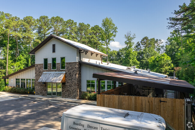


Property Detail
3118 Pine Tree Dr
28-00-27-4-003-001.000
LOT 41-A RESURVEY OF LOTS 41 AND 42 TOPFIELD SUBDIVISION PB 247 PG 45
Policefirecivildefense
Jefferson
E2
Alabama
B and X Area of moderate flood hazard, usually the area between the limits of the 100-year and 500-year floods.
41-a
2024
1.12 AC
2025
Hwy 280/Jefferson County
012910
Birmingham
8,416 SF
Birmingham, AL
NEARBY LISTINGS FOR SALE OR LEASE
DEMOGRAPHICS near 3118 Pine Tree Dr
1 mile
3 mile
5 mile
2025 Total Population
6,526
44,480
127,398
2030 Population
6,483
44,346
126,453
Pop Growth 2025-2030
(0.66%)
(0.30%)
(0.74%)
Average Age
38
40
40
2025 Total Households
3,378
19,714
51,814
HH Growth 2025-2030
(0.80%)
(0.26%)
(0.93%)
Median Household Inc
$91,727
$100,837
$104,466
Avg Household Size
1.90
2.20
2.30
2025 Avg HH Vehicles
2.00
2.00
2.00
Median Home Value
$438,006
$481,019
$486,027
Median Year Built
2002
1989
1985
Nearby Places
Map Layers
Map Styles
 Street
 Aerial
Layers
 Traffic
 Biking
Places
Listings with unknown addresses are not visible on the map
- Restaurants
- Banks
- Shops
- Fitness
- Groceries
PUBLIC TRANSPORTATION
COMMUTER RAIL
Drive
Walk
Distance
14 min
8.6 mi
AIRPORT
Birmingham-Shuttlesworth International
Drive
Walk
Distance
Birmingham-Shuttlesworth International
21 min
12.4 mi
Nearby Properties
Address
Land Use
TOTAL SIZE
Lot Size
Zoning
Address
Land Use
TOTAL SIZE
Lot Size
Zoning
200,418 SF
7 AC
C1
Address
Land Use
TOTAL SIZE
Lot Size
Zoning
212,615 SF
20 AC
B-2
Address
Land Use
TOTAL SIZE
Lot Size
Zoning
15,013 SF
79.12 AC
Address
Land Use
TOTAL SIZE
Lot Size
Zoning
500,279 SF
53 AC
B2
Address
Land Use
TOTAL SIZE
Lot Size
Zoning
347,636 SF
136.83 AC
Address
Land Use
TOTAL SIZE
Lot Size
Zoning
140,853 SF
27 AC
B-2
Address
Land Use
TOTAL SIZE
Lot Size
Zoning
6 AC
C-1
Address
Land Use
TOTAL SIZE
Lot Size
Zoning
169,501 SF
18 AC
E-2
Address
Land Use
TOTAL SIZE
Lot Size
Zoning
153,413 SF
6 AC
C1
Address
Land Use
TOTAL SIZE
Lot Size
Zoning
4,674 SF
28.10 AC
Address
Land Use
TOTAL SIZE
Lot Size
Zoning
136,498 SF
11 AC
C1
Address
Land Use
TOTAL SIZE
Lot Size
Zoning
235,082 SF
26.10 AC
C1
Address
Land Use
TOTAL SIZE
Lot Size
Zoning
27,034 SF
17.27 AC
Address
Land Use
TOTAL SIZE
Lot Size
Zoning
30,967 SF
17.39 AC
Address
Land Use
TOTAL SIZE
Lot Size
Zoning
102,373 SF
12.33 AC
R1-E
Address
Land Use
TOTAL SIZE
Lot Size
Zoning
329,345 SF
33 AC
C
Address
Land Use
TOTAL SIZE
Lot Size
Zoning
344,434 SF
16 AC
R4
Address
Land Use
TOTAL SIZE
Lot Size
Zoning
239,213 SF
17 AC
C1
Address
Land Use
TOTAL SIZE
Lot Size
Zoning
59,454 SF
4 AC
C1
Address
Land Use
TOTAL SIZE
Lot Size
Zoning
11,492 SF
21.30 AC
Address
Land Use
TOTAL SIZE
Lot Size
Zoning
361,937 SF
22 AC
R4
Address
Land Use
TOTAL SIZE
Lot Size
Zoning
89,134 SF
7 AC
C-1
Address
Land Use
TOTAL SIZE
Lot Size
Zoning
2,404 SF
17.42 AC
Address
Land Use
TOTAL SIZE
Lot Size
Zoning
16,187 SF
33.04 AC
Address
Land Use
TOTAL SIZE
Lot Size
Zoning
125,165 SF
8 AC
CP
Address
Land Use
TOTAL SIZE
Lot Size
Zoning
121,872 SF
8.70 AC
PB
Address
Land Use
TOTAL SIZE
Lot Size
Zoning
170,850 SF
9 AC
INST
Address
Land Use
TOTAL SIZE
Lot Size
Zoning
251,087 SF
23 AC
R-4
Address
Land Use
TOTAL SIZE
Lot Size
Zoning
5,506 SF
17.36 AC
The World's #1 Commercial Real Estate Marketplace
Connect with us
© 2026 CoStar Group
The information above has been obtained from sources believed reliable. While we do not doubt its accuracy we have not verified it and make no guarantee, warranty or representation about it. It is your responsibility to independently confirm its accuracy and completeness. Any projections, opinions, assumptions, or estimates used are for example only and do not represent the current or future performance of the property. The value of this transaction to you depends on tax and other factors which should be evaluated by your tax, financial, and legal advisors. You and your advisors should conduct a careful, independent investigation of the property to determine to your satisfaction the suitability of the property for your needs.