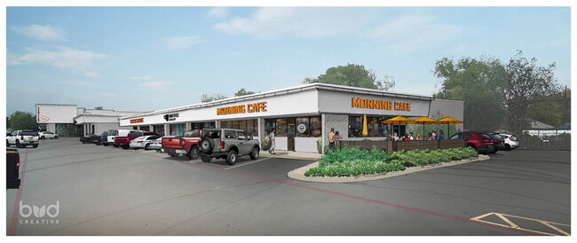
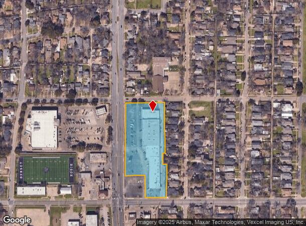
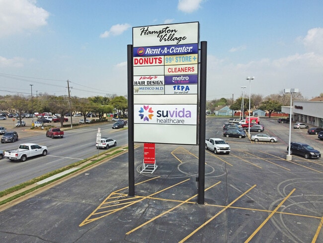
Property Record
312 S Hampton Rd, Dallas, TX 75208
NEARBY LISTINGS FOR SALE OR LEASE
Property Detail
312 S Hampton Rd
Dallas-Fort Worth-Arlington, TX
E C Thomas Surv Abs 14634
00000329005000000
BLK 4553 LT 8 & PT LTS 1 & 2 ACS 3.3647 INT202300087779 DD05042023 CO-DC 4553 000 00800 2DA4553 000
Regionalshoppingcenterormallwithanchorstore
Dallas
X
Texas
48113C0480K
8,1,2
2024
3.36 AC
2025
SW Dallas County
005200
Dallas/Ft Worth
41,620 SF
DEMOGRAPHICS near 312 S Hampton Rd
1 mile
3 mile
5 mile
2024 Total Population
22,501
145,645
293,839
2029 Population
22,303
145,259
293,835
Pop Growth 2024-2029
(0.88%)
(0.27%)
0.00%
Average Age
37
36
36
2024 Total Households
7,513
49,569
108,227
HH Growth 2024-2029
(0.81%)
(0.20%)
+ 0.25%
Median Household Inc
$59,076
$51,972
$55,151
Avg Household Size
2.90
2.80
2.60
2024 Avg HH Vehicles
2.00
2.00
2.00
Median Home Value
$289,013
$230,390
$202,987
Median Year Built
1948
1961
1973
Nearby Places
Map Layers
Map Styles
 Street
 Aerial
Transit
 Traffic
 Biking
Places
Listings with unknown addresses are not visible on the map
- Restaurants
- Banks
- Shops
- Fitness
- Groceries
PUBLIC TRANSPORTATION
COMMUTER RAIL
Victory Station (DART LIGHT RAIL - GREEN LINE - Dallas Area Rapid Transit (DART), DART LIGHT RAIL - ORANGE LINE - Dallas Area Rapid Transit (DART), TRINITY RAILWAY - Dallas Area Rapid Transit (DART))
Drive
Walk
Distance
Victory Station (DART LIGHT RAIL - GREEN LINE - Dallas Area Rapid Transit (DART), DART LIGHT RAIL - ORANGE LINE - Dallas Area Rapid Transit (DART), TRINITY RAILWAY - Dallas Area Rapid Transit (DART))
9 min
5.4 mi
Medical/Market Ctr Station (TRINITY RAILWAY - Dallas Area Rapid Transit (DART))
Drive
Walk
Distance
Medical/Market Ctr Station (TRINITY RAILWAY - Dallas Area Rapid Transit (DART))
12 min
5.6 mi
AIRPORT
Dallas Love Field
Drive
Walk
Distance
Dallas Love Field
17 min
8.0 mi
Dallas-Fort Worth International
Drive
Walk
Distance
Dallas-Fort Worth International
30 min
21.2 mi
Freight Ports
Port of Shreveport
Drive
Walk
Distance
Port of Shreveport
218 min
201.3 mi
SALE & LEASE HISTORY
LISTING DATE
SALE/LEASE

Sep 25, 2016
For Lease
Oct 19, 2016
For Lease
Nearby Properties
Address
Land Use
TOTAL SIZE
Lot Size
Zoning
Address
Land Use
TOTAL SIZE
Lot Size
Zoning
1,298,826 SF
33.16 AC
Z163
Address
Land Use
TOTAL SIZE
Lot Size
Zoning
732,117 SF
5 AC
Z239
Address
Land Use
TOTAL SIZE
Lot Size
Zoning
316,447 SF
12.61 AC
Z164
Address
Land Use
TOTAL SIZE
Lot Size
Zoning
2,319,440 SF
90.19 AC
Address
Land Use
TOTAL SIZE
Lot Size
Zoning
1,010,500 SF
45.40 AC
Z116
Address
Land Use
TOTAL SIZE
Lot Size
Zoning
179,370 SF
13.18 AC
Z248
Address
Land Use
TOTAL SIZE
Lot Size
Zoning
419,729 SF
3.62 AC
Z115
Address
Land Use
TOTAL SIZE
Lot Size
Zoning
506,299 SF
4.24 AC
Z116
Address
Land Use
TOTAL SIZE
Lot Size
Zoning
344,801 SF
7.24 AC
Z125
Address
Land Use
TOTAL SIZE
Lot Size
Zoning
381,448 SF
19.99 AC
Z151
Address
Land Use
TOTAL SIZE
Lot Size
Zoning
646,211 SF
5.79 AC
Z239
Address
Land Use
TOTAL SIZE
Lot Size
Zoning
513,833 SF
0.17 AC
Z59
Address
Land Use
TOTAL SIZE
Lot Size
Zoning
283,359 SF
16.25 AC
Z116
Address
Land Use
TOTAL SIZE
Lot Size
Zoning
100 SF
37.84 AC
Z115
Address
Land Use
TOTAL SIZE
Lot Size
Zoning
498,588 SF
4.33 AC
Z115
Address
Land Use
TOTAL SIZE
Lot Size
Zoning
466,681 SF
3.55 AC
Z239
Address
Land Use
TOTAL SIZE
Lot Size
Zoning
316,640 SF
5.02 AC
Z115
Address
Land Use
TOTAL SIZE
Lot Size
Zoning
512,628 SF
2.72 AC
Z239
Address
Land Use
TOTAL SIZE
Lot Size
Zoning
192,086 SF
27.05 AC
Z125
Address
Land Use
TOTAL SIZE
Lot Size
Zoning
290,902 SF
13.90 AC
Z151
Address
Land Use
TOTAL SIZE
Lot Size
Zoning
513,100 SF
3.23 AC
Z239
Address
Land Use
TOTAL SIZE
Lot Size
Zoning
404,722 SF
3.72 AC
Z239
Address
Land Use
TOTAL SIZE
Lot Size
Zoning
428,759 SF
16.39 AC
Z239
Address
Land Use
TOTAL SIZE
Lot Size
Zoning
448,378 SF
4.45 AC
Z239
Address
Land Use
TOTAL SIZE
Lot Size
Zoning
469,864 SF
4.21 AC
Z239
Address
Land Use
TOTAL SIZE
Lot Size
Zoning
343,006 SF
0.53 AC
Z239
Address
Land Use
TOTAL SIZE
Lot Size
Zoning
223,496 SF
3.94 AC
Z164
Address
Land Use
TOTAL SIZE
Lot Size
Zoning
8,727 SF
28.76 AC
Z298
Address
Land Use
TOTAL SIZE
Lot Size
Zoning
73,708 SF
1.82 AC
Z239
Address
Land Use
TOTAL SIZE
Lot Size
Zoning
663,480 SF
31.90 AC
Z163
The World's #1 Commercial Real Estate Marketplace
Connect with us
© 2026 CoStar Group
The information above has been obtained from sources believed reliable. While we do not doubt its accuracy we have not verified it and make no guarantee, warranty or representation about it. It is your responsibility to independently confirm its accuracy and completeness. Any projections, opinions, assumptions, or estimates used are for example only and do not represent the current or future performance of the property. The value of this transaction to you depends on tax and other factors which should be evaluated by your tax, financial, and legal advisors. You and your advisors should conduct a careful, independent investigation of the property to determine to your satisfaction the suitability of the property for your needs.