Property Record
3125 N Kentwood Ave, Springfield, MO 65803


NEARBY LISTINGS FOR SALE OR LEASE
-
-
View all Springfield listings for sale on LoopNet.com
Property Detail
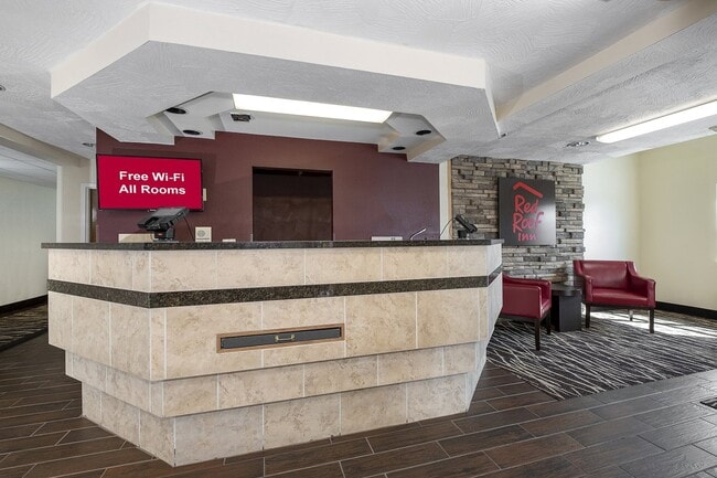
3125 N Kentwood Ave
Springfield, MO
Interstate 44 Village Sub
12-06-108-043
INTERSTATE 44 VILLAGE SUB LOT 1
Hotel
Greene
X
Missouri
29077C0219E
1
2025
1.35 AC
2025
Springfield
004401
Springfield
18,184 SF
DEMOGRAPHICS near 3125 N Kentwood Ave
1 Mile
3 Mile
5 Mile
2024 Total Population
7,356
38,769
102,956
2029 Population
7,590
40,295
107,239
Pop Growth 2024-2029
+ 3.18%
+ 3.94%
+ 4.16%
Average Age
41
38
37
2024 Total Households
3,369
15,573
44,300
HH Growth 2024-2029
+ 3.35%
+ 4.12%
+ 4.41%
Median Household Inc
$43,839
$43,986
$41,586
Avg Household Size
2.10
2.20
2.10
2024 Avg HH Vehicles
2.00
2.00
2.00
Median Home Value
$152,333
$129,133
$144,553
Median Year Built
1980
1971
1972
Nearby Places
Map Layers
Map Styles
 Street
 Aerial
- Restaurants
- Banks
- Shops
- Fitness
- Groceries
PUBLIC TRANSPORTATION
AIRPORT
Springfield-Branson Ntl
DRIVE
WALK
Distance
Springfield-Branson Ntl
20 min
11.3 mi
SALE & LEASE HISTORY
LISTING DATE
SALE/LEASE

Nov 07, 2024
For Sale
May 24, 2024
For Sale
Nearby Properties
Address
Land Use
TOTAL SIZE
Lot Size
Zoning
Address
Land Use
TOTAL SIZE
Lot Size
Zoning
35.56 AC
INC
Address
Land Use
TOTAL SIZE
Lot Size
Zoning
22.01 AC
INC.
Address
Land Use
TOTAL SIZE
Lot Size
Zoning
1,728,457 SF
123.60 AC
INC
Address
Land Use
TOTAL SIZE
Lot Size
Zoning
340,000 SF
37.93 AC
INC
Address
Land Use
TOTAL SIZE
Lot Size
Zoning
359,020 SF
14 AC
INC
Address
Land Use
TOTAL SIZE
Lot Size
Zoning
349,216 SF
29.46 AC
INC
Address
Land Use
TOTAL SIZE
Lot Size
Zoning
5.84 AC
INC
Address
Land Use
TOTAL SIZE
Lot Size
Zoning
805,370 SF
54.30 AC
INC
Address
Land Use
TOTAL SIZE
Lot Size
Zoning
24.54 AC
INC.
Address
Land Use
TOTAL SIZE
Lot Size
Zoning
13.88 AC
INC
Address
Land Use
TOTAL SIZE
Lot Size
Zoning
1,825 SF
4.31 AC
INC
Address
Land Use
TOTAL SIZE
Lot Size
Zoning
5.47 AC
INC
Address
Land Use
TOTAL SIZE
Lot Size
Zoning
143,774 SF
5.85 AC
INC
Address
Land Use
TOTAL SIZE
Lot Size
Zoning
290,844 SF
20.78 AC
INC
Address
Land Use
TOTAL SIZE
Lot Size
Zoning
127,740 SF
27.70 AC
INC
Address
Land Use
TOTAL SIZE
Lot Size
Zoning
92,702 SF
42.54 AC
INC
Address
Land Use
TOTAL SIZE
Lot Size
Zoning
20.11 AC
INC
Address
Land Use
TOTAL SIZE
Lot Size
Zoning
186,125 SF
21.09 AC
INC
Address
Land Use
TOTAL SIZE
Lot Size
Zoning
2.75 AC
INC
Address
Land Use
TOTAL SIZE
Lot Size
Zoning
79.50 AC
INC
Address
Land Use
TOTAL SIZE
Lot Size
Zoning
4.62 AC
INC
Address
Land Use
TOTAL SIZE
Lot Size
Zoning
32.40 AC
INC
Address
Land Use
TOTAL SIZE
Lot Size
Zoning
1.69 AC
INC
Address
Land Use
TOTAL SIZE
Lot Size
Zoning
70,284 SF
22.88 AC
INC
Address
Land Use
TOTAL SIZE
Lot Size
Zoning
136,629 SF
26.79 AC
INC
Address
Land Use
TOTAL SIZE
Lot Size
Zoning
10.76 AC
INC
Address
Land Use
TOTAL SIZE
Lot Size
Zoning
16.08 AC
Address
Land Use
TOTAL SIZE
Lot Size
Zoning
75.07 AC
INC
Address
Land Use
TOTAL SIZE
Lot Size
Zoning
154,635 SF
9.16 AC
INC
Address
Land Use
TOTAL SIZE
Lot Size
Zoning
29.69 AC
INC
The World's #1 Commercial Real Estate Marketplace
Connect with us
© 2026 CoStar Group
The information above has been obtained from sources believed reliable. While we do not doubt its accuracy we have not verified it and make no guarantee, warranty or representation about it. It is your responsibility to independently confirm its accuracy and completeness. Any projections, opinions, assumptions, or estimates used are for example only and do not represent the current or future performance of the property. The value of this transaction to you depends on tax and other factors which should be evaluated by your tax, financial, and legal advisors. You and your advisors should conduct a careful, independent investigation of the property to determine to your satisfaction the suitability of the property for your needs.