Property Record
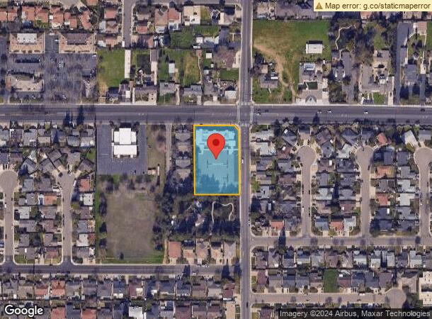
3131 Colorado Ave, Turlock, CA 95382

NEARBY LISTINGS FOR SALE OR LEASE
Property Detail
3131 Colorado Ave
Modesto, CA
Parcel B
072-12-56
GEER COLONY 31-PM-101 PARCEL B
Medicalbuilding
Stanislaus
X
California
06099C0600E
b
2025
1.35 AC
2025
Turlock/SW Stanislaus
003907
Stockton/Modesto
10,970 SF
DEMOGRAPHICS near 3131 Colorado Ave
1 Mile
3 Mile
5 Mile
2024 Total Population
16,952
78,280
89,497
2029 Population
17,029
78,442
89,556
Pop Growth 2024-2029
+ 0.45%
+ 0.21%
+ 0.07%
Average Age
41
37
37
2024 Total Households
5,897
26,291
29,538
HH Growth 2024-2029
+ 0.54%
+ 0.25%
+ 0.12%
Median Household Inc
$84,061
$75,055
$74,593
Avg Household Size
2.70
2.90
2.90
2024 Avg HH Vehicles
2.00
2.00
2.00
Median Home Value
$462,105
$412,970
$417,520
Median Year Built
1983
1983
1982
Nearby Places
Map Layers
Map Styles
 Street
 Aerial
- Restaurants
- Banks
- Shops
- Fitness
- Groceries
PUBLIC TRANSPORTATION
COMMUTER RAIL
Turlock-Denair (San Joaquins - Amtrak)
DRIVE
WALK
Distance
Turlock-Denair (San Joaquins - Amtrak)
5 min
2.9 mi
Freight Ports
Port of Stockton
DRIVE
WALK
Distance
Port of Stockton
58 min
46.4 mi
SALE & LEASE HISTORY
LISTING DATE
SALE/LEASE

Sep 24, 2016
For Sale
Nearby Properties
Address
Land Use
TOTAL SIZE
Lot Size
Zoning
Address
Land Use
TOTAL SIZE
Lot Size
Zoning
281,904 SF
17.84 AC
Address
Land Use
TOTAL SIZE
Lot Size
Zoning
557,040 SF
22.54 AC
TURI
Address
Land Use
TOTAL SIZE
Lot Size
Zoning
224,984 SF
9.63 AC
R3
Address
Land Use
TOTAL SIZE
Lot Size
Zoning
349,309 SF
21.87 AC
Address
Land Use
TOTAL SIZE
Lot Size
Zoning
128,000 SF
6.48 AC
Address
Land Use
TOTAL SIZE
Lot Size
Zoning
144,172 SF
15.75 AC
TURCT
Address
Land Use
TOTAL SIZE
Lot Size
Zoning
264,573 SF
9.47 AC
TURPD
Address
Land Use
TOTAL SIZE
Lot Size
Zoning
144,510 SF
12.04 AC
Address
Land Use
TOTAL SIZE
Lot Size
Zoning
111,617 SF
10.10 AC
Address
Land Use
TOTAL SIZE
Lot Size
Zoning
81,953 SF
5 AC
M2
Address
Land Use
TOTAL SIZE
Lot Size
Zoning
149,310 SF
8.45 AC
Address
Land Use
TOTAL SIZE
Lot Size
Zoning
185,088 SF
9.08 AC
PD21
Address
Land Use
TOTAL SIZE
Lot Size
Zoning
302,449 SF
17.57 AC
Address
Land Use
TOTAL SIZE
Lot Size
Zoning
103,011 SF
7.90 AC
Address
Land Use
TOTAL SIZE
Lot Size
Zoning
112,779 SF
7.35 AC
TURCC
Address
Land Use
TOTAL SIZE
Lot Size
Zoning
52,304 SF
5.10 AC
Address
Land Use
TOTAL SIZE
Lot Size
Zoning
88,787 SF
4.88 AC
TURCH
Address
Land Use
TOTAL SIZE
Lot Size
Zoning
68,015 SF
4.45 AC
CO
Address
Land Use
TOTAL SIZE
Lot Size
Zoning
55,955 SF
3.76 AC
TURRL
Address
Land Use
TOTAL SIZE
Lot Size
Zoning
37,500 SF
3.87 AC
Address
Land Use
TOTAL SIZE
Lot Size
Zoning
111,357 SF
4.33 AC
TURCH
Address
Land Use
TOTAL SIZE
Lot Size
Zoning
135,768 SF
9.34 AC
CH
Address
Land Use
TOTAL SIZE
Lot Size
Zoning
88,253 SF
8.78 AC
TURCC
Address
Land Use
TOTAL SIZE
Lot Size
Zoning
105,700 SF
12 AC
TURCH
Address
Land Use
TOTAL SIZE
Lot Size
Zoning
50,700 SF
4.91 AC
TURCC
Address
Land Use
TOTAL SIZE
Lot Size
Zoning
44,860 SF
2.93 AC
Address
Land Use
TOTAL SIZE
Lot Size
Zoning
60,225 SF
5.63 AC
TURCC
Address
Land Use
TOTAL SIZE
Lot Size
Zoning
124,591 SF
12.99 AC
Address
Land Use
TOTAL SIZE
Lot Size
Zoning
128,993 SF
9.86 AC
TURCH
Address
Land Use
TOTAL SIZE
Lot Size
Zoning
120,762 SF
9.39 AC
The World's #1 Commercial Real Estate Marketplace
Connect with us
© 2025 CoStar Group
The information above has been obtained from sources believed reliable. While we do not doubt its accuracy we have not verified it and make no guarantee, warranty or representation about it. It is your responsibility to independently confirm its accuracy and completeness. Any projections, opinions, assumptions, or estimates used are for example only and do not represent the current or future performance of the property. The value of this transaction to you depends on tax and other factors which should be evaluated by your tax, financial, and legal advisors. You and your advisors should conduct a careful, independent investigation of the property to determine to your satisfaction the suitability of the property for your needs.