Property Record
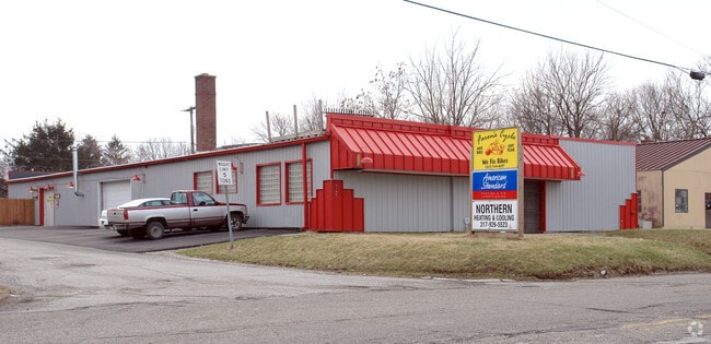
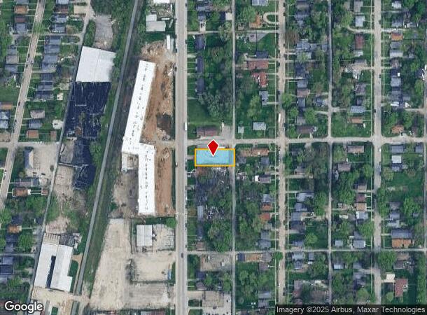
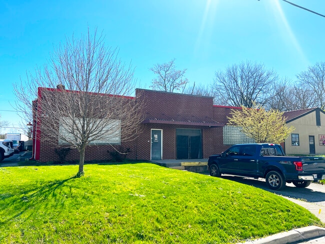
3145 Dr Andrew J Brown Ave, Indianapolis, IN 46205
Current Lease Availabilities
NEARBY LISTINGS FOR SALE OR LEASE
Property Detail
3145 Dr Andrew J Brown Ave
Indianapolis-Carmel-Anderson, IN
North Side Add
49-07-19-132-366.000-101
NORTH SIDE ADD L22 & EX 9.7FT S SIDE L21 BLK9
Warehouse
Marion
X
Indiana
18097C0134F
22,21
2023
0.27 AC
2024
Brookside Center
350800
Indianapolis
8,460 SF
DEMOGRAPHICS near 3145 Dr Andrew J Brown Ave
1 Mile
3 Mile
5 Mile
2024 Total Population
14,416
125,681
295,409
2029 Population
14,736
127,431
297,799
Pop Growth 2024-2029
+ 2.22%
+ 1.39%
+ 0.81%
Average Age
36
36
37
2024 Total Households
5,945
55,490
128,288
HH Growth 2024-2029
+ 2.14%
+ 1.26%
+ 0.76%
Median Household Inc
$43,511
$50,701
$54,493
Avg Household Size
2.30
2.10
2.20
2024 Avg HH Vehicles
1.00
1.00
1.00
Median Home Value
$156,780
$218,251
$205,000
Median Year Built
1950
1949
1954
Nearby Places
- Restaurants
- Banks
- Shops
- Fitness
- Groceries
PUBLIC TRANSPORTATION
COMMUTER RAIL
Indianapolis (Cardinal - Amtrak)
DRIVE
WALK
Distance
Indianapolis (Cardinal - Amtrak)
10 min
4.8 mi
AIRPORT
Indianapolis International
DRIVE
WALK
Distance
Indianapolis International
33 min
17.9 mi
Freight Ports
Port of Toledo
DRIVE
WALK
Distance
Port of Toledo
263 min
221.5 mi
Nearby Properties
Address
Land Use
TOTAL SIZE
Lot Size
Zoning
Address
Land Use
TOTAL SIZE
Lot Size
Zoning
19,176 SF
28.36 AC
ZO01
Address
Land Use
TOTAL SIZE
Lot Size
Zoning
5,200 SF
2.43 AC
ZO01
Address
Land Use
TOTAL SIZE
Lot Size
Zoning
36,000 SF
0.94 AC
ZO01
Address
Land Use
TOTAL SIZE
Lot Size
Zoning
309,006 SF
1.48 AC
ZO01
Address
Land Use
TOTAL SIZE
Lot Size
Zoning
4,761 SF
3.65 AC
ZO01
Address
Land Use
TOTAL SIZE
Lot Size
Zoning
271,411 SF
3 AC
ZO01
Address
Land Use
TOTAL SIZE
Lot Size
Zoning
700 SF
1.50 AC
ZO01
Address
Land Use
TOTAL SIZE
Lot Size
Zoning
18,320 SF
2.05 AC
ZO01
Address
Land Use
TOTAL SIZE
Lot Size
Zoning
22,656 SF
4.05 AC
ZO01
Address
Land Use
TOTAL SIZE
Lot Size
Zoning
4,564 SF
2.32 AC
ZO01
Address
Land Use
TOTAL SIZE
Lot Size
Zoning
3.64 AC
ZO01
Address
Land Use
TOTAL SIZE
Lot Size
Zoning
20,072 SF
2.74 AC
Address
Land Use
TOTAL SIZE
Lot Size
Zoning
2,451 SF
0.46 AC
ZO01
Address
Land Use
TOTAL SIZE
Lot Size
Zoning
296,086 SF
6.19 AC
ZO01
Address
Land Use
TOTAL SIZE
Lot Size
Zoning
866 SF
14.33 AC
ZO01
Address
Land Use
TOTAL SIZE
Lot Size
Zoning
1,417 SF
2.26 AC
ZO01
Address
Land Use
TOTAL SIZE
Lot Size
Zoning
94,784 SF
4.31 AC
Address
Land Use
TOTAL SIZE
Lot Size
Zoning
193,498 SF
2.69 AC
ZO01
Address
Land Use
TOTAL SIZE
Lot Size
Zoning
207,800 SF
2.23 AC
ZO01
Address
Land Use
TOTAL SIZE
Lot Size
Zoning
69,380 SF
4.45 AC
ZO01
Address
Land Use
TOTAL SIZE
Lot Size
Zoning
4,808 SF
5.76 AC
ZO01
Address
Land Use
TOTAL SIZE
Lot Size
Zoning
2,505 SF
13.80 AC
ZO01
Address
Land Use
TOTAL SIZE
Lot Size
Zoning
20,417 SF
0.99 AC
ZO01
Address
Land Use
TOTAL SIZE
Lot Size
Zoning
2,142 SF
9.91 AC
ZO01
Address
Land Use
TOTAL SIZE
Lot Size
Zoning
2.81 AC
ZO01
Address
Land Use
TOTAL SIZE
Lot Size
Zoning
3,288 SF
3.65 AC
ZO01
Address
Land Use
TOTAL SIZE
Lot Size
Zoning
23,195 SF
31.18 AC
Address
Land Use
TOTAL SIZE
Lot Size
Zoning
163,712 SF
1.02 AC
ZO01
Address
Land Use
TOTAL SIZE
Lot Size
Zoning
42,611 SF
151.50 AC
ZO01
Address
Land Use
TOTAL SIZE
Lot Size
Zoning
87,321 SF
3.14 AC
ZO01
The World's #1 Commercial Real Estate Marketplace
Connect with us
© 2025 CoStar Group
The information above has been obtained from sources believed reliable. While we do not doubt its accuracy we have not verified it and make no guarantee, warranty or representation about it. It is your responsibility to independently confirm its accuracy and completeness. Any projections, opinions, assumptions, or estimates used are for example only and do not represent the current or future performance of the property. The value of this transaction to you depends on tax and other factors which should be evaluated by your tax, financial, and legal advisors. You and your advisors should conduct a careful, independent investigation of the property to determine to your satisfaction the suitability of the property for your needs.