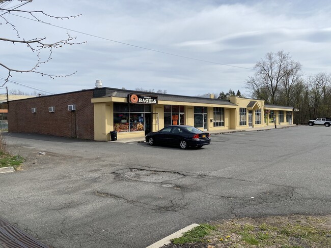
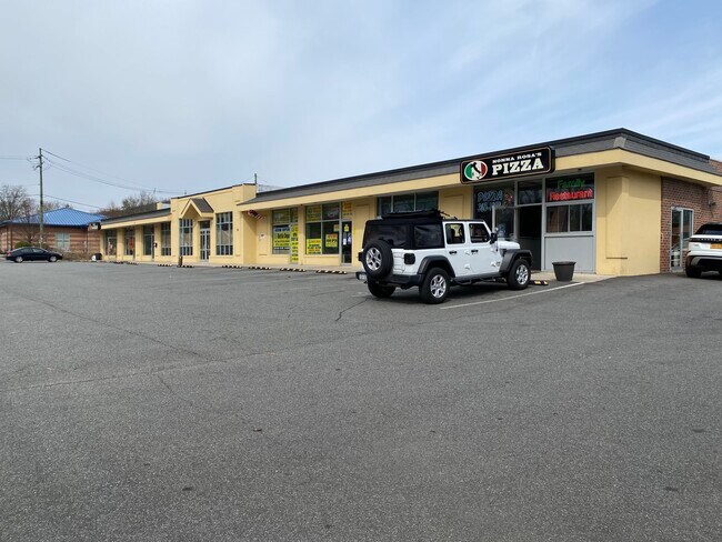
Property Record
315 Route 303, Orangeburg, NY 10962
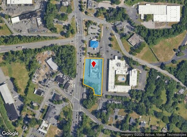
NEARBY LISTINGS FOR SALE OR LEASE
Property Detail
315 Route 303
392489-074-011-0002-050-000-0000
30/78/762/17
Regionalshoppingcenterormallwithanchorstore
Rockland
AE
New York
36087C0187G
50.0
2023
1.30 AC
2024
Orangetown
013003
Northern New Jersey
12,133 SF
New York-Jersey City-White Plains, NY-NJ
DEMOGRAPHICS near 315 Route 303
1 Mile
3 Mile
5 Mile
2024 Total Population
4,238
36,687
143,149
2029 Population
4,228
36,652
142,364
Pop Growth 2024-2029
(0.24%)
(0.10%)
(0.55%)
Average Age
42
43
43
2024 Total Households
1,376
12,623
52,364
HH Growth 2024-2029
(0.22%)
(0.13%)
(0.66%)
Median Household Inc
$88,522
$129,837
$128,811
Avg Household Size
2.60
2.70
2.60
2024 Avg HH Vehicles
2.00
2.00
2.00
Median Home Value
$562,500
$673,677
$663,078
Median Year Built
1964
1965
1962
Nearby Places
- Restaurants
- Banks
- Shops
- Fitness
- Groceries
PUBLIC TRANSPORTATION
COMMUTER RAIL
Pearl River (Pascack Valley Line - NJ Transit Commuter Rail (NJ Transit))
DRIVE
WALK
Distance
Pearl River (Pascack Valley Line - NJ Transit Commuter Rail (NJ Transit))
11 min
4.9 mi
Montvale (Pascack Valley Line - NJ Transit Commuter Rail (NJ Transit))
DRIVE
WALK
Distance
Montvale (Pascack Valley Line - NJ Transit Commuter Rail (NJ Transit))
10 min
5.1 mi
AIRPORT
Westchester County
DRIVE
WALK
Distance
Westchester County
33 min
22.8 mi
LaGuardia
DRIVE
WALK
Distance
LaGuardia
43 min
26.1 mi
Newark Liberty International
DRIVE
WALK
Distance
Newark Liberty International
40 min
29.8 mi
Freight Ports
NY - Red Hook Container Terminal
DRIVE
WALK
Distance
NY - Red Hook Container Terminal
54 min
32.0 mi
SALE & LEASE HISTORY
LISTING DATE
SALE/LEASE

Jun 26, 2024
For Lease
Jul 22, 2024
For Lease
Apr 14, 2023
For Lease
Nearby Properties
Address
Land Use
TOTAL SIZE
Lot Size
Zoning
Address
Land Use
TOTAL SIZE
Lot Size
Zoning
220,594 SF
22.30 AC
R-40
Address
Land Use
TOTAL SIZE
Lot Size
Zoning
237,408 SF
14.97 AC
R-40
Address
Land Use
TOTAL SIZE
Lot Size
Zoning
8.08 AC
C
Address
Land Use
TOTAL SIZE
Lot Size
Zoning
35,631 SF
8.60 AC
LI
Address
Land Use
TOTAL SIZE
Lot Size
Zoning
6.72 AC
C
Address
Land Use
TOTAL SIZE
Lot Size
Zoning
48.19 AC
P
Address
Land Use
TOTAL SIZE
Lot Size
Zoning
15.23 AC
C
Address
Land Use
TOTAL SIZE
Lot Size
Zoning
2.80 AC
R10
Address
Land Use
TOTAL SIZE
Lot Size
Zoning
8 AC
AH1CC
Address
Land Use
TOTAL SIZE
Lot Size
Zoning
5.96 AC
Address
Land Use
TOTAL SIZE
Lot Size
Zoning
231,978 SF
48.30 AC
R-40
Address
Land Use
TOTAL SIZE
Lot Size
Zoning
191,148 SF
32.26 AC
R-40
Address
Land Use
TOTAL SIZE
Lot Size
Zoning
114,520 SF
6.71 AC
R4
Address
Land Use
TOTAL SIZE
Lot Size
Zoning
47,432 SF
9.81 AC
RG
Address
Land Use
TOTAL SIZE
Lot Size
Zoning
11.80 AC
Address
Land Use
TOTAL SIZE
Lot Size
Zoning
505,460 SF
106 AC
LO
Address
Land Use
TOTAL SIZE
Lot Size
Zoning
16.30 AC
LI
Address
Land Use
TOTAL SIZE
Lot Size
Zoning
1,872 SF
48.93 AC
RA40
Address
Land Use
TOTAL SIZE
Lot Size
Zoning
54,347 SF
3.88 AC
B1
Address
Land Use
TOTAL SIZE
Lot Size
Zoning
5 AC
C
Address
Land Use
TOTAL SIZE
Lot Size
Zoning
6,810 SF
120.70 AC
R-40
Address
Land Use
TOTAL SIZE
Lot Size
Zoning
3.01 AC
Address
Land Use
TOTAL SIZE
Lot Size
Zoning
18,550 SF
5.15 AC
B1
Address
Land Use
TOTAL SIZE
Lot Size
Zoning
31.50 AC
R-15
Address
Land Use
TOTAL SIZE
Lot Size
Zoning
302.70 AC
R-40
Address
Land Use
TOTAL SIZE
Lot Size
Zoning
5.10 AC
C2
Address
Land Use
TOTAL SIZE
Lot Size
Zoning
63,268 SF
104.70 AC
R-40
Address
Land Use
TOTAL SIZE
Lot Size
Zoning
66,920 SF
17.70 AC
LO
Address
Land Use
TOTAL SIZE
Lot Size
Zoning
207,436 SF
18.03 AC
LIO
Address
Land Use
TOTAL SIZE
Lot Size
Zoning
225,000 SF
33.93 AC
LIO
The World's #1 Commercial Real Estate Marketplace
Connect with us
© 2025 CoStar Group
The information above has been obtained from sources believed reliable. While we do not doubt its accuracy we have not verified it and make no guarantee, warranty or representation about it. It is your responsibility to independently confirm its accuracy and completeness. Any projections, opinions, assumptions, or estimates used are for example only and do not represent the current or future performance of the property. The value of this transaction to you depends on tax and other factors which should be evaluated by your tax, financial, and legal advisors. You and your advisors should conduct a careful, independent investigation of the property to determine to your satisfaction the suitability of the property for your needs.