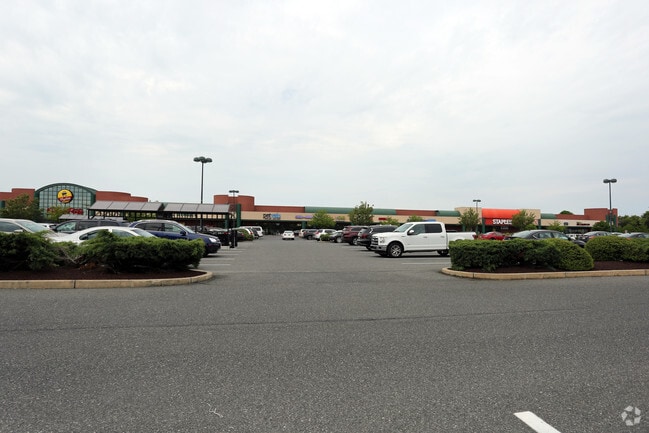
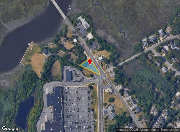
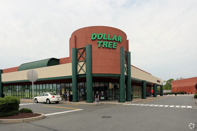
Property Record
Ocean Heights Plz, Somers Point, NJ 08244
NEARBY LISTINGS FOR SALE OR LEASE
Property Detail
Ocean Heights Plz
Atlantic City-Hammonton, NJ
SALE INCL 4.02,04,05
21-00251-0000-00001
Atlantic
Regionalshoppingcenterormallwithanchorstore
New Jersey
ARE
1
34001C0428F
51.72 AC
2024
Atlantic City/Hammonton
2025
Philadelphia
012801
DEMOGRAPHICS near Ocean Heights Plz
1 Mile
3 Mile
5 Mile
2024 Total Population
7,817
28,353
74,036
2029 Population
7,707
27,993
74,730
Pop Growth 2024-2029
(1.41%)
(1.27%)
+ 0.94%
Average Age
43
43
44
2024 Total Households
3,271
11,113
30,189
HH Growth 2024-2029
(2.02%)
(1.75%)
+ 1.08%
Median Household Inc
$74,161
$87,063
$87,518
Avg Household Size
2.30
2.50
2.40
2024 Avg HH Vehicles
2.00
2.00
2.00
Median Home Value
$257,083
$268,718
$299,393
Median Year Built
1969
1972
1974
Nearby Places
Map Layers
Map Styles
 Street
 Aerial
- Restaurants
- Banks
- Shops
- Fitness
- Groceries
PUBLIC TRANSPORTATION
COMMUTER RAIL
Absecon (Atlantic City Line - NJ Transit Commuter Rail (NJ Transit))
DRIVE
WALK
Distance
Absecon (Atlantic City Line - NJ Transit Commuter Rail (NJ Transit))
16 min
8.9 mi
AIRPORT
Atlantic City International
DRIVE
WALK
Distance
Atlantic City International
39 min
13.2 mi
Freight Ports
Broadway Terminal - Pier 5
DRIVE
WALK
Distance
Broadway Terminal - Pier 5
71 min
55.3 mi
SALE & LEASE HISTORY
LISTING DATE
SALE/LEASE

Sep 11, 2017
For Lease
Nearby Properties
Address
Land Use
TOTAL SIZE
Lot Size
Zoning
Address
Land Use
TOTAL SIZE
Lot Size
Zoning
4.98 AC
SHOS
Address
Land Use
TOTAL SIZE
Lot Size
Zoning
6,000 SF
28.83 AC
INST
Address
Land Use
TOTAL SIZE
Lot Size
Zoning
16.33 AC
R-MF
Address
Land Use
TOTAL SIZE
Lot Size
Zoning
17.37 AC
REDE
Address
Land Use
TOTAL SIZE
Lot Size
Zoning
15.20 AC
R-MF
Address
Land Use
TOTAL SIZE
Lot Size
Zoning
3.34 AC
R-1
Address
Land Use
TOTAL SIZE
Lot Size
Zoning
6.75 AC
R-1
Address
Land Use
TOTAL SIZE
Lot Size
Zoning
2.21 AC
SHOS
Address
Land Use
TOTAL SIZE
Lot Size
Zoning
8.41 AC
R-MF
Address
Land Use
TOTAL SIZE
Lot Size
Zoning
9.20 AC
GB
Address
Land Use
TOTAL SIZE
Lot Size
Zoning
4.81 AC
R-MF
Address
Land Use
TOTAL SIZE
Lot Size
Zoning
8.56 AC
R-MF
Address
Land Use
TOTAL SIZE
Lot Size
Zoning
5.02 AC
R-MF
Address
Land Use
TOTAL SIZE
Lot Size
Zoning
4.74 AC
INST
Address
Land Use
TOTAL SIZE
Lot Size
Zoning
36.54 AC
Address
Land Use
TOTAL SIZE
Lot Size
Zoning
2,680 SF
2.32 AC
INST
Address
Land Use
TOTAL SIZE
Lot Size
Zoning
61,193 SF
6.97 AC
GB
Address
Land Use
TOTAL SIZE
Lot Size
Zoning
4.43 AC
R-MF
Address
Land Use
TOTAL SIZE
Lot Size
Zoning
4.42 AC
TC&F
Address
Land Use
TOTAL SIZE
Lot Size
Zoning
2.98 AC
R-1
Address
Land Use
TOTAL SIZE
Lot Size
Zoning
Address
Land Use
TOTAL SIZE
Lot Size
Zoning
2.84 AC
BUS
Address
Land Use
TOTAL SIZE
Lot Size
Zoning
8.73 AC
RECA
Address
Land Use
TOTAL SIZE
Lot Size
Zoning
11 AC
BUS
Address
Land Use
TOTAL SIZE
Lot Size
Zoning
6.43 AC
GB
Address
Land Use
TOTAL SIZE
Lot Size
Zoning
52,280 SF
9.96 AC
GB
Address
Land Use
TOTAL SIZE
Lot Size
Zoning
1.21 AC
SHOS
Address
Land Use
TOTAL SIZE
Lot Size
Zoning
38,090 SF
4.73 AC
O-PB
Address
Land Use
TOTAL SIZE
Lot Size
Zoning
24,484 SF
4 AC
R-1
The World's #1 Commercial Real Estate Marketplace
Connect with us
© 2025 CoStar Group
The information above has been obtained from sources believed reliable. While we do not doubt its accuracy we have not verified it and make no guarantee, warranty or representation about it. It is your responsibility to independently confirm its accuracy and completeness. Any projections, opinions, assumptions, or estimates used are for example only and do not represent the current or future performance of the property. The value of this transaction to you depends on tax and other factors which should be evaluated by your tax, financial, and legal advisors. You and your advisors should conduct a careful, independent investigation of the property to determine to your satisfaction the suitability of the property for your needs.