Property Record
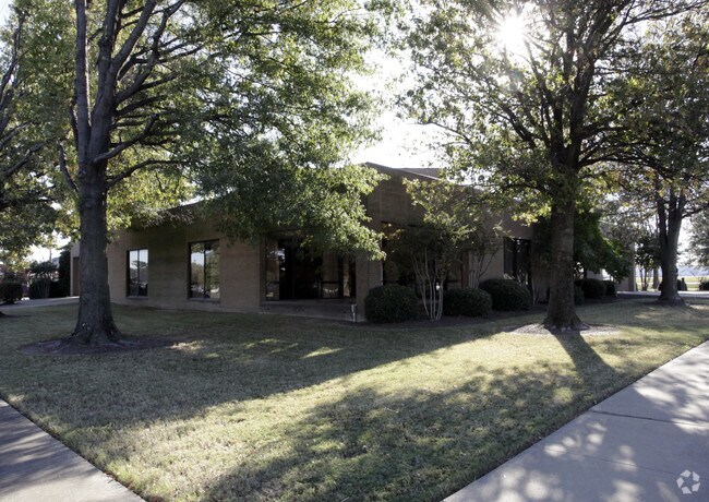
115 Block St, Marion, AR 72364


Property Detail
115 Block St
Memphis, TN-MS-AR
PLAT BK 5 PG 445-SCANNED PLAT BK 5 PG 591-(REPLAT OF MINOR SUBD PLAT OF RPSB SUBD)-SCANNED
236-137890-010
Crittenden
Commercialacreage
Arkansas
C and X Area of minimal flood hazard, usually depicted on FIRMs as above the 500-year flood level.
2
2025
0.67 AC
2025
Crittenden County
030805
Memphis
1,532 SF
NEARBY LISTINGS FOR SALE OR LEASE
DEMOGRAPHICS near 115 Block St
1 mile
3 mile
5 mile
2025 Total Population
5,807
14,155
30,138
2030 Population
5,597
13,703
29,192
Pop Growth 2025-2030
(3.62%)
(3.19%)
(3.14%)
Average Age
38
38
38
2025 Total Households
2,227
5,280
11,622
HH Growth 2025-2030
(3.82%)
(3.31%)
(3.24%)
Median Household Inc
$60,586
$71,798
$59,450
Avg Household Size
2.50
2.60
2.50
2025 Avg HH Vehicles
2.00
2.00
2.00
Median Home Value
$188,700
$218,794
$184,312
Median Year Built
1989
1994
1983
Nearby Places
Map Layers
Map Styles
 Street
 Aerial
Transit
 Traffic
 Biking
Places
Listings with unknown addresses are not visible on the map
- Restaurants
- Banks
- Shops
- Fitness
- Groceries
PUBLIC TRANSPORTATION
AIRPORT
Memphis International
Drive
Walk
Distance
Memphis International
30 min
21.5 mi
SALE & LEASE HISTORY
LISTING DATE
SALE/LEASE

Dec 14, 2018
For Lease
Aug 01, 2019
For Sale
Nearby Properties
Address
Land Use
TOTAL SIZE
Lot Size
Zoning
Address
Land Use
TOTAL SIZE
Lot Size
Zoning
847,384 SF
77.14 AC
Address
Land Use
TOTAL SIZE
Lot Size
Zoning
600,000 SF
36.16 AC
Address
Land Use
TOTAL SIZE
Lot Size
Zoning
5,772 SF
20 AC
Address
Land Use
TOTAL SIZE
Lot Size
Zoning
3,960 SF
14.54 AC
Address
Land Use
TOTAL SIZE
Lot Size
Zoning
79,208 SF
3.98 AC
Address
Land Use
TOTAL SIZE
Lot Size
Zoning
87,608 SF
10.02 AC
Address
Land Use
TOTAL SIZE
Lot Size
Zoning
58,365 SF
6.11 AC
Address
Land Use
TOTAL SIZE
Lot Size
Zoning
59,284 SF
2.06 AC
Address
Land Use
TOTAL SIZE
Lot Size
Zoning
194,110 SF
125.33 AC
Address
Land Use
TOTAL SIZE
Lot Size
Zoning
50,279 SF
2.20 AC
Address
Land Use
TOTAL SIZE
Lot Size
Zoning
10,220 SF
11.74 AC
Address
Land Use
TOTAL SIZE
Lot Size
Zoning
45,016 SF
1.58 AC
Address
Land Use
TOTAL SIZE
Lot Size
Zoning
46,656 SF
1.39 AC
Address
Land Use
TOTAL SIZE
Lot Size
Zoning
44,648 SF
5.74 AC
Address
Land Use
TOTAL SIZE
Lot Size
Zoning
7,924 SF
7.66 AC
Address
Land Use
TOTAL SIZE
Lot Size
Zoning
52,902 SF
Address
Land Use
TOTAL SIZE
Lot Size
Zoning
12,000 SF
10.35 AC
Address
Land Use
TOTAL SIZE
Lot Size
Zoning
17,814 SF
2 AC
Address
Land Use
TOTAL SIZE
Lot Size
Zoning
29,340 SF
1.01 AC
Address
Land Use
TOTAL SIZE
Lot Size
Zoning
28,746 SF
3.11 AC
Address
Land Use
TOTAL SIZE
Lot Size
Zoning
8,320 SF
1.23 AC
Address
Land Use
TOTAL SIZE
Lot Size
Zoning
30,804 SF
5.70 AC
Address
Land Use
TOTAL SIZE
Lot Size
Zoning
26,910 SF
3 AC
Address
Land Use
TOTAL SIZE
Lot Size
Zoning
1,803 SF
2 AC
Address
Land Use
TOTAL SIZE
Lot Size
Zoning
9,976 SF
1.80 AC
Address
Land Use
TOTAL SIZE
Lot Size
Zoning
7,380 SF
3.18 AC
Address
Land Use
TOTAL SIZE
Lot Size
Zoning
3,919 SF
1.53 AC
Address
Land Use
TOTAL SIZE
Lot Size
Zoning
46,490 SF
6.01 AC
Address
Land Use
TOTAL SIZE
Lot Size
Zoning
41,827 SF
4.50 AC
Address
Land Use
TOTAL SIZE
Lot Size
Zoning
1,320 SF
7.17 AC
The World's #1 Commercial Real Estate Marketplace
Connect with us
© 2026 CoStar Group
The information above has been obtained from sources believed reliable. While we do not doubt its accuracy we have not verified it and make no guarantee, warranty or representation about it. It is your responsibility to independently confirm its accuracy and completeness. Any projections, opinions, assumptions, or estimates used are for example only and do not represent the current or future performance of the property. The value of this transaction to you depends on tax and other factors which should be evaluated by your tax, financial, and legal advisors. You and your advisors should conduct a careful, independent investigation of the property to determine to your satisfaction the suitability of the property for your needs.