Property Record
320 Hamrick Rd, Gastonia, NC 28056

NEARBY LISTINGS FOR SALE OR LEASE
Property Detail
320 Hamrick Rd
Charlotte-Concord-Gastonia, NC-SC
15 056 010 00 000
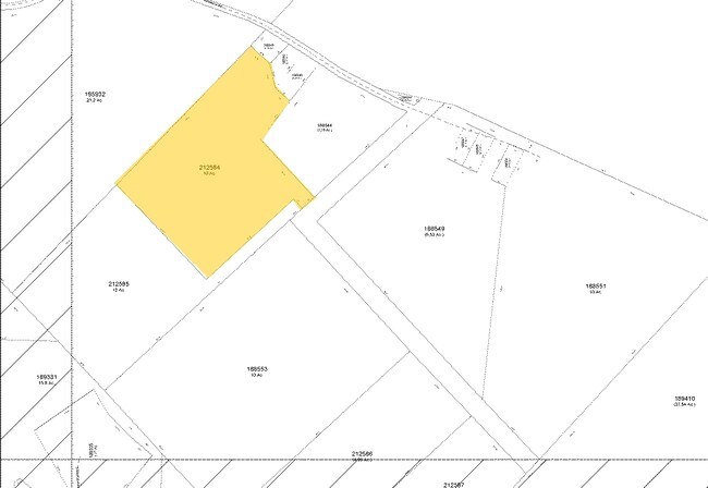
313676
Gaston
Vacantlandnec
North Carolina
2025
3.78 AC
2025
Gaston County
032508
Charlotte
DEMOGRAPHICS near 320 Hamrick Rd
1 Mile
3 Mile
5 Mile
2024 Total Population
3,173
33,217
83,830
2029 Population
3,471
35,953
90,170
Pop Growth 2024-2029
+ 9.39%
+ 8.24%
+ 7.56%
Average Age
42
40
41
2024 Total Households
1,169
13,322
33,880
HH Growth 2024-2029
+ 9.75%
+ 8.44%
+ 7.76%
Median Household Inc
$87,077
$82,557
$71,722
Avg Household Size
2.60
2.50
2.40
2024 Avg HH Vehicles
2.00
2.00
2.00
Median Home Value
$309,350
$275,091
$264,347
Median Year Built
2003
1996
1990
Nearby Places
Map Layers
Map Styles
 Street
 Aerial
- Restaurants
- Banks
- Shops
- Fitness
- Groceries
PUBLIC TRANSPORTATION
COMMUTER RAIL
Gastonia Amtrak Station (Crescent - Amtrak)
DRIVE
WALK
Distance
Gastonia Amtrak Station (Crescent - Amtrak)
15 min
7.2 mi
AIRPORT
Charlotte/Douglas International
DRIVE
WALK
Distance
Charlotte/Douglas International
30 min
12.3 mi
Concord-Padgett Regional
DRIVE
WALK
Distance
Concord-Padgett Regional
44 min
29.9 mi
Freight Ports
North Charleston Terminal
DRIVE
WALK
Distance
North Charleston Terminal
238 min
200.1 mi
SALE & LEASE HISTORY
LISTING DATE
SALE/LEASE

Aug 15, 2018
For Sale
Nearby Properties
Address
Land Use
TOTAL SIZE
Lot Size
Zoning
Address
Land Use
TOTAL SIZE
Lot Size
Zoning
1,886 SF
39.30 AC
Address
Land Use
TOTAL SIZE
Lot Size
Zoning
25,137 SF
34.81 AC
Address
Land Use
TOTAL SIZE
Lot Size
Zoning
1,066 SF
70.67 AC
PUB01
Address
Land Use
TOTAL SIZE
Lot Size
Zoning
6.09 AC
Address
Land Use
TOTAL SIZE
Lot Size
Zoning
30,906 SF
14.19 AC
Address
Land Use
TOTAL SIZE
Lot Size
Zoning
23,899 SF
14.57 AC
HC
Address
Land Use
TOTAL SIZE
Lot Size
Zoning
98.12 AC
Address
Land Use
TOTAL SIZE
Lot Size
Zoning
78.54 AC
GR
Address
Land Use
TOTAL SIZE
Lot Size
Zoning
4,552 SF
9.22 AC
R1
Address
Land Use
TOTAL SIZE
Lot Size
Zoning
13,800 SF
58.55 AC
PUB01
Address
Land Use
TOTAL SIZE
Lot Size
Zoning
44,718 SF
26.53 AC
OFF10
Address
Land Use
TOTAL SIZE
Lot Size
Zoning
1,596 SF
5.73 AC
OFF01
Address
Land Use
TOTAL SIZE
Lot Size
Zoning
10,172 SF
33.34 AC
PUB01
Address
Land Use
TOTAL SIZE
Lot Size
Zoning
102,915 SF
39.29 AC
PUB01
Address
Land Use
TOTAL SIZE
Lot Size
Zoning
67,682 SF
8.86 AC
Address
Land Use
TOTAL SIZE
Lot Size
Zoning
2,836 SF
74.13 AC
OFF03
Address
Land Use
TOTAL SIZE
Lot Size
Zoning
1,280 SF
4.83 AC
APT01
Address
Land Use
TOTAL SIZE
Lot Size
Zoning
45,391 SF
8.23 AC
SHOP4
Address
Land Use
TOTAL SIZE
Lot Size
Zoning
53,116 SF
14.54 AC
AUTO1
Address
Land Use
TOTAL SIZE
Lot Size
Zoning
27,024 SF
4.94 AC
CHUR2
Address
Land Use
TOTAL SIZE
Lot Size
Zoning
26,182 SF
2.67 AC
Address
Land Use
TOTAL SIZE
Lot Size
Zoning
12,810 SF
70.55 AC
INDS2
Address
Land Use
TOTAL SIZE
Lot Size
Zoning
1,827 SF
39.77 AC
Address
Land Use
TOTAL SIZE
Lot Size
Zoning
113.75 AC
Address
Land Use
TOTAL SIZE
Lot Size
Zoning
39,108 SF
5.02 AC
CHUR1
Address
Land Use
TOTAL SIZE
Lot Size
Zoning
12,000 SF
8.11 AC
R1
Address
Land Use
TOTAL SIZE
Lot Size
Zoning
450 SF
3.43 AC
APT01
Address
Land Use
TOTAL SIZE
Lot Size
Zoning
2,432 SF
15.17 AC
APT01
Address
Land Use
TOTAL SIZE
Lot Size
Zoning
46,460 SF
7.47 AC
MRKT4
Address
Land Use
TOTAL SIZE
Lot Size
Zoning
41,170 SF
3.93 AC
HCAR4
The World's #1 Commercial Real Estate Marketplace
Connect with us
© 2026 CoStar Group
The information above has been obtained from sources believed reliable. While we do not doubt its accuracy we have not verified it and make no guarantee, warranty or representation about it. It is your responsibility to independently confirm its accuracy and completeness. Any projections, opinions, assumptions, or estimates used are for example only and do not represent the current or future performance of the property. The value of this transaction to you depends on tax and other factors which should be evaluated by your tax, financial, and legal advisors. You and your advisors should conduct a careful, independent investigation of the property to determine to your satisfaction the suitability of the property for your needs.