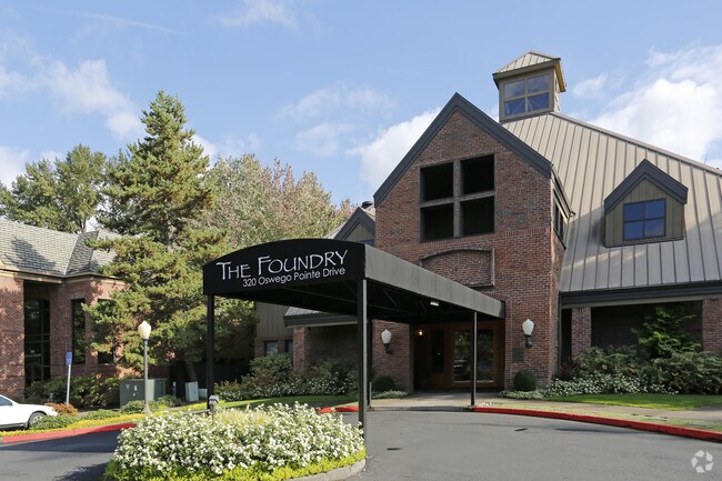
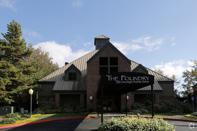
Property Record
320 Oswego Pointe Dr, Lake Oswego, OR 97034


Property Detail
320 Oswego Pointe Dr
Portland-Vancouver-Hillsboro, OR-WA
SECTION 11 TOWNSHIP 2S RANGE 1E QUARTER BB TAX LOT 00203
01401842
Clackamas
Commercialbuilding
Oregon
EC/R-0
203
AE The base floodplain where base flood elevations are provided. AE Zones are now used on new format FIRMs instead of A1-A30 Zones.
0.42 AC
2025
Lake Oswego/West Linn
2025
Portland
020201
NEARBY LISTINGS FOR SALE OR LEASE
DEMOGRAPHICS near 320 Oswego Pointe Dr
1 mile
3 mile
5 mile
2025 Total Population
12,228
83,114
263,914
2030 Population
12,324
83,410
263,654
Pop Growth 2025-2030
+ 0.79%
+ 0.36%
(0.10%)
Average Age
47
45
43
2025 Total Households
5,418
34,232
107,609
HH Growth 2025-2030
+ 0.83%
+ 0.34%
(0.19%)
Median Household Inc
$107,531
$107,322
$104,676
Avg Household Size
2.20
2.30
2.40
2025 Avg HH Vehicles
2.00
2.00
2.00
Median Home Value
$818,924
$724,506
$682,562
Median Year Built
1972
1974
1976
Nearby Places
Map Layers
Map Styles
 Street
 Aerial
Layers
 Traffic
 Biking
Places
Listings with unknown addresses are not visible on the map
- Restaurants
- Banks
- Shops
- Fitness
- Groceries
PUBLIC TRANSPORTATION
COMMUTER RAIL
Oregon City Amtrak (Amtrak Cascades - Amtrak)
Drive
Walk
Distance
Oregon City Amtrak (Amtrak Cascades - Amtrak)
16 min
6.9 mi
Tigard Transit Center (Westside Express Service - Tri-County Metropolitan Transportation District of Oregon Rail (TriMet Rail))
Drive
Walk
Distance
Tigard Transit Center (Westside Express Service - Tri-County Metropolitan Transportation District of Oregon Rail (TriMet Rail))
17 min
7.1 mi
AIRPORT
Portland International
Drive
Walk
Distance
Portland International
35 min
20.3 mi
Freight Ports
Port of Portland
Drive
Walk
Distance
Port of Portland
21 min
11.5 mi
Nearby Properties
Address
Land Use
TOTAL SIZE
Lot Size
Zoning
Address
Land Use
TOTAL SIZE
Lot Size
Zoning
931,749 SF
85.50 AC
CI1
Address
Land Use
TOTAL SIZE
Lot Size
Zoning
Address
Land Use
TOTAL SIZE
Lot Size
Zoning
138,295 SF
29.79 AC
CI1
Address
Land Use
TOTAL SIZE
Lot Size
Zoning
28.30 AC
EC/R-0
Address
Land Use
TOTAL SIZE
Lot Size
Zoning
6.48 AC
R-3
Address
Land Use
TOTAL SIZE
Lot Size
Zoning
Address
Land Use
TOTAL SIZE
Lot Size
Zoning
1 SF
1 AC
PF
Address
Land Use
TOTAL SIZE
Lot Size
Zoning
3,550 SF
3.99 AC
DMU
Address
Land Use
TOTAL SIZE
Lot Size
Zoning
1 SF
0.14 AC
EC
Address
Land Use
TOTAL SIZE
Lot Size
Zoning
10.35 AC
PF
Address
Land Use
TOTAL SIZE
Lot Size
Zoning
0.26 AC
C3
Address
Land Use
TOTAL SIZE
Lot Size
Zoning
21.39 AC
CI
Address
Land Use
TOTAL SIZE
Lot Size
Zoning
11.35 AC
C3
Address
Land Use
TOTAL SIZE
Lot Size
Zoning
62,048 SF
8.58 AC
R20
Address
Land Use
TOTAL SIZE
Lot Size
Zoning
35.26 AC
PNA
Address
Land Use
TOTAL SIZE
Lot Size
Zoning
11.10 AC
HDR
Address
Land Use
TOTAL SIZE
Lot Size
Zoning
1.61 AC
DMU
Address
Land Use
TOTAL SIZE
Lot Size
Zoning
1 SF
4.73 AC
R-3
Address
Land Use
TOTAL SIZE
Lot Size
Zoning
7 AC
NME
Address
Land Use
TOTAL SIZE
Lot Size
Zoning
22.01 AC
BI
Address
Land Use
TOTAL SIZE
Lot Size
Zoning
6 AC
R-0
Address
Land Use
TOTAL SIZE
Lot Size
Zoning
122,430 SF
10.85 AC
NC
Address
Land Use
TOTAL SIZE
Lot Size
Zoning
3.45 AC
R-15
Address
Land Use
TOTAL SIZE
Lot Size
Zoning
Address
Land Use
TOTAL SIZE
Lot Size
Zoning
6 AC
HDR
Address
Land Use
TOTAL SIZE
Lot Size
Zoning
9.67 AC
C3
Address
Land Use
TOTAL SIZE
Lot Size
Zoning
1.43 AC
C3
Address
Land Use
TOTAL SIZE
Lot Size
Zoning
Address
Land Use
TOTAL SIZE
Lot Size
Zoning
4,735 SF
11.88 AC
NME
The World's #1 Commercial Real Estate Marketplace
Connect with us
© 2026 CoStar Group
The information above has been obtained from sources believed reliable. While we do not doubt its accuracy we have not verified it and make no guarantee, warranty or representation about it. It is your responsibility to independently confirm its accuracy and completeness. Any projections, opinions, assumptions, or estimates used are for example only and do not represent the current or future performance of the property. The value of this transaction to you depends on tax and other factors which should be evaluated by your tax, financial, and legal advisors. You and your advisors should conduct a careful, independent investigation of the property to determine to your satisfaction the suitability of the property for your needs.