Property Record
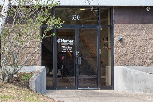
320 Turnpike St, Canton, MA 02021


Property Detail
320 Turnpike St
Warehouse
Norfolk
5
Massachusetts
A Areas with a 1% annual chance of flooding and a 26% chance of flooding over the life of a 30-year mortgage.
4.73 AC
2025
Route 24
2025
Boston
415201
Boston-Cambridge-Newton, MA-NH
49,895 SF
CANT-000079-000000-000138
NEARBY LISTINGS FOR SALE OR LEASE
DEMOGRAPHICS near 320 Turnpike St
1 mile
3 mile
5 mile
2025 Total Population
4,154
47,077
139,952
2030 Population
4,264
48,161
143,052
Pop Growth 2025-2030
+ 2.65%
+ 2.30%
+ 2.22%
Average Age
43
42
42
2025 Total Households
1,549
18,103
52,630
HH Growth 2025-2030
+ 2.78%
+ 2.46%
+ 2.35%
Median Household Inc
$138,472
$111,174
$112,573
Avg Household Size
2.60
2.50
2.60
2025 Avg HH Vehicles
2.00
2.00
2.00
Median Home Value
$827,874
$682,577
$676,191
Median Year Built
1975
1970
1965
Nearby Places
Map Layers
Map Styles
 Street
 Aerial
Layers
 Traffic
 Biking
Places
Listings with unknown addresses are not visible on the map
- Restaurants
- Banks
- Shops
- Fitness
- Groceries
PUBLIC TRANSPORTATION
COMMUTER RAIL
Canton Junction (Providence/Stoughton Line - Massachusetts Bay Transportation Authority Commuter Rail (Purple Line))
Drive
Walk
Distance
Canton Junction (Providence/Stoughton Line - Massachusetts Bay Transportation Authority Commuter Rail (Purple Line))
8 min
3.3 mi
Canton Center (Providence/Stoughton Line - Massachusetts Bay Transportation Authority Commuter Rail (Purple Line))
Drive
Walk
Distance
Canton Center (Providence/Stoughton Line - Massachusetts Bay Transportation Authority Commuter Rail (Purple Line))
7 min
3.4 mi
AIRPORT
General Edward Lawrence Logan International
Drive
Walk
Distance
General Edward Lawrence Logan International
32 min
17.1 mi
Freight Ports
Port of Boston
Drive
Walk
Distance
Port of Boston
28 min
14.8 mi
SALE & LEASE HISTORY
LISTING DATE
SALE/LEASE

Dec 22, 2021
For Sale
Dec 16, 2021
For Lease
Apr 08, 2019
For Sale
Apr 08, 2019
For Lease
Nearby Properties
Address
Land Use
TOTAL SIZE
Lot Size
Zoning
Address
Land Use
TOTAL SIZE
Lot Size
Zoning
0.25 AC
RH
Address
Land Use
TOTAL SIZE
Lot Size
Zoning
13.08 AC
HB
Address
Land Use
TOTAL SIZE
Lot Size
Zoning
543,189 SF
22.90 AC
6
Address
Land Use
TOTAL SIZE
Lot Size
Zoning
417,014 SF
10 AC
6
Address
Land Use
TOTAL SIZE
Lot Size
Zoning
254,787 SF
55.40 AC
Address
Land Use
TOTAL SIZE
Lot Size
Zoning
56,088 SF
23.94 AC
I
Address
Land Use
TOTAL SIZE
Lot Size
Zoning
267,103 SF
20.23 AC
10
Address
Land Use
TOTAL SIZE
Lot Size
Zoning
154,871 SF
34.30 AC
10
Address
Land Use
TOTAL SIZE
Lot Size
Zoning
198,120 SF
51 AC
3
Address
Land Use
TOTAL SIZE
Lot Size
Zoning
132,143 SF
23.70 AC
RH
Address
Land Use
TOTAL SIZE
Lot Size
Zoning
62,043 SF
10.68 AC
6
Address
Land Use
TOTAL SIZE
Lot Size
Zoning
167,076 SF
16 AC
A
Address
Land Use
TOTAL SIZE
Lot Size
Zoning
160,716 SF
18.87 AC
11
Address
Land Use
TOTAL SIZE
Lot Size
Zoning
7.27 AC
GB
Address
Land Use
TOTAL SIZE
Lot Size
Zoning
13,272 SF
46.37 AC
5
Address
Land Use
TOTAL SIZE
Lot Size
Zoning
86,564 SF
8.45 AC
GBHD
Address
Land Use
TOTAL SIZE
Lot Size
Zoning
130,356 SF
14.70 AC
9
Address
Land Use
TOTAL SIZE
Lot Size
Zoning
199,072 SF
10.07 AC
HB
Address
Land Use
TOTAL SIZE
Lot Size
Zoning
128,753 SF
17.50 AC
10
Address
Land Use
TOTAL SIZE
Lot Size
Zoning
138,400 SF
55.71 AC
RM
Address
Land Use
TOTAL SIZE
Lot Size
Zoning
12.24 AC
I
Address
Land Use
TOTAL SIZE
Lot Size
Zoning
70,216 SF
6.86 AC
7
Address
Land Use
TOTAL SIZE
Lot Size
Zoning
298,820 SF
19.65 AC
6
Address
Land Use
TOTAL SIZE
Lot Size
Zoning
140,489 SF
36.47 AC
11
Address
Land Use
TOTAL SIZE
Lot Size
Zoning
198,804 SF
9.76 AC
6
Address
Land Use
TOTAL SIZE
Lot Size
Zoning
77,791 SF
2.24 AC
3
Address
Land Use
TOTAL SIZE
Lot Size
Zoning
141,373 SF
19.52 AC
6
Address
Land Use
TOTAL SIZE
Lot Size
Zoning
37,252 SF
44.33 AC
10
Address
Land Use
TOTAL SIZE
Lot Size
Zoning
169,080 SF
5.95 AC
Address
Land Use
TOTAL SIZE
Lot Size
Zoning
133,125 SF
16.13 AC
7
The World's #1 Commercial Real Estate Marketplace
Connect with us
© 2026 CoStar Group
The information above has been obtained from sources believed reliable. While we do not doubt its accuracy we have not verified it and make no guarantee, warranty or representation about it. It is your responsibility to independently confirm its accuracy and completeness. Any projections, opinions, assumptions, or estimates used are for example only and do not represent the current or future performance of the property. The value of this transaction to you depends on tax and other factors which should be evaluated by your tax, financial, and legal advisors. You and your advisors should conduct a careful, independent investigation of the property to determine to your satisfaction the suitability of the property for your needs.