Property Record
320 W 2Nd St, Austin, TX 78701
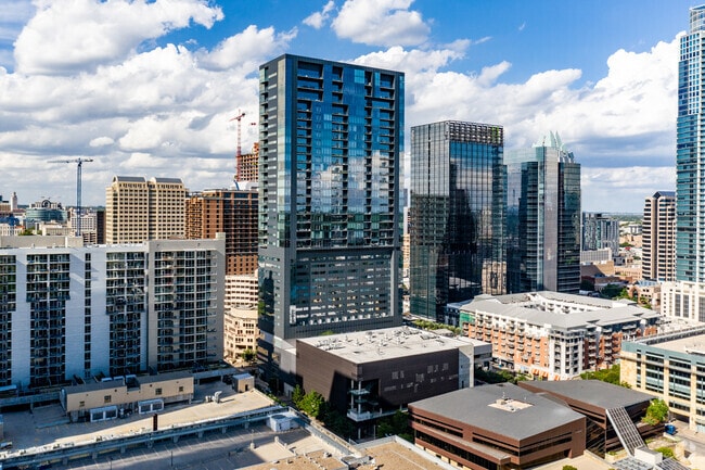


Property Detail
320 W 2Nd St
Austin-Round Rock-San Marcos, TX
UNT COMM UNIT 4 BLOCK 21 MASTER CONDOMINIUMS PLUS 1.8068 % INT IN COM AREA
798581
TRAVIS
Commercialcondominium
Texas
B and X Area of moderate flood hazard, usually the area between the limits of the 100-year and 500-year floods.
comm
2025
0.03 AC
2025
Austin CBD
001102
Austin
14,806 SF
NEARBY LISTINGS FOR SALE OR LEASE
DEMOGRAPHICS near 320 W 2Nd St
1 mile
3 mile
5 mile
2025 Total Population
27,319
201,373
368,304
2030 Population
29,131
212,448
388,281
Pop Growth 2025-2030
+ 6.63%
+ 5.50%
+ 5.42%
Average Age
40
35
36
2025 Total Households
16,160
96,862
170,183
HH Growth 2025-2030
+ 7.39%
+ 6.40%
+ 6.21%
Median Household Inc
$147,536
$90,953
$91,911
Avg Household Size
1.50
1.90
2.00
2025 Avg HH Vehicles
1.00
1.00
2.00
Median Home Value
$892,518
$906,391
$801,289
Median Year Built
2010
1999
1995
Nearby Places
Map Layers
Map Styles
 Street
 Aerial
Transit
 Traffic
 Biking
Places
Listings with unknown addresses are not visible on the map
- Restaurants
- Banks
- Shops
- Fitness
- Groceries
PUBLIC TRANSPORTATION
COMMUTER RAIL
Downtown Station (Capital MetroRail - Capital Metropolitan Transportation Authority Rail (MetroRail))
Drive
Walk
Distance
Downtown Station (Capital MetroRail - Capital Metropolitan Transportation Authority Rail (MetroRail))
4 min
11 min
0.6 mi
Plaza Saltillo Station (Capital MetroRail - Capital Metropolitan Transportation Authority Rail (MetroRail))
Drive
Walk
Distance
Plaza Saltillo Station (Capital MetroRail - Capital Metropolitan Transportation Authority Rail (MetroRail))
7 min
1.6 mi
AIRPORT
Austin-Bergstrom International
Drive
Walk
Distance
Austin-Bergstrom International
21 min
14.1 mi
Freight Ports
Calhoun Port
Drive
Walk
Distance
Calhoun Port
1 min
131.4 mi
Nearby Properties
Address
Land Use
TOTAL SIZE
Lot Size
Zoning
Address
Land Use
TOTAL SIZE
Lot Size
Zoning
1,008,789 SF
17.50 AC
Address
Land Use
TOTAL SIZE
Lot Size
Zoning
20,550 SF
14.15 AC
Address
Land Use
TOTAL SIZE
Lot Size
Zoning
262 SF
65.06 AC
Address
Land Use
TOTAL SIZE
Lot Size
Zoning
29,594 SF
155.62 AC
Address
Land Use
TOTAL SIZE
Lot Size
Zoning
28.39 AC
Address
Land Use
TOTAL SIZE
Lot Size
Zoning
Address
Land Use
TOTAL SIZE
Lot Size
Zoning
28.62 AC
Address
Land Use
TOTAL SIZE
Lot Size
Zoning
1,156,135 SF
1.74 AC
Address
Land Use
TOTAL SIZE
Lot Size
Zoning
1,003,475 SF
1.84 AC
Address
Land Use
TOTAL SIZE
Lot Size
Zoning
27.17 AC
Address
Land Use
TOTAL SIZE
Lot Size
Zoning
136,900 SF
19.32 AC
Address
Land Use
TOTAL SIZE
Lot Size
Zoning
786,600 SF
1.27 AC
Address
Land Use
TOTAL SIZE
Lot Size
Zoning
24.50 AC
Address
Land Use
TOTAL SIZE
Lot Size
Zoning
9,034 SF
28.69 AC
Address
Land Use
TOTAL SIZE
Lot Size
Zoning
30.96 AC
Address
Land Use
TOTAL SIZE
Lot Size
Zoning
709,300 SF
0.94 AC
Address
Land Use
TOTAL SIZE
Lot Size
Zoning
498,684 SF
61.86 AC
Address
Land Use
TOTAL SIZE
Lot Size
Zoning
18.52 AC
Address
Land Use
TOTAL SIZE
Lot Size
Zoning
47.20 AC
Address
Land Use
TOTAL SIZE
Lot Size
Zoning
1,400,000 SF
3.07 AC
Address
Land Use
TOTAL SIZE
Lot Size
Zoning
789,220 SF
14.34 AC
Address
Land Use
TOTAL SIZE
Lot Size
Zoning
35,041 SF
28.65 AC
Address
Land Use
TOTAL SIZE
Lot Size
Zoning
623,000 SF
11.78 AC
Address
Land Use
TOTAL SIZE
Lot Size
Zoning
21 AC
Address
Land Use
TOTAL SIZE
Lot Size
Zoning
999,200 SF
25 AC
Address
Land Use
TOTAL SIZE
Lot Size
Zoning
513,567 SF
1.78 AC
Address
Land Use
TOTAL SIZE
Lot Size
Zoning
500,511 SF
0.82 AC
Address
Land Use
TOTAL SIZE
Lot Size
Zoning
609,613 SF
1.31 AC
Address
Land Use
TOTAL SIZE
Lot Size
Zoning
24.06 AC
The World's #1 Commercial Real Estate Marketplace
Connect with us
© 2026 CoStar Group
The information above has been obtained from sources believed reliable. While we do not doubt its accuracy we have not verified it and make no guarantee, warranty or representation about it. It is your responsibility to independently confirm its accuracy and completeness. Any projections, opinions, assumptions, or estimates used are for example only and do not represent the current or future performance of the property. The value of this transaction to you depends on tax and other factors which should be evaluated by your tax, financial, and legal advisors. You and your advisors should conduct a careful, independent investigation of the property to determine to your satisfaction the suitability of the property for your needs.