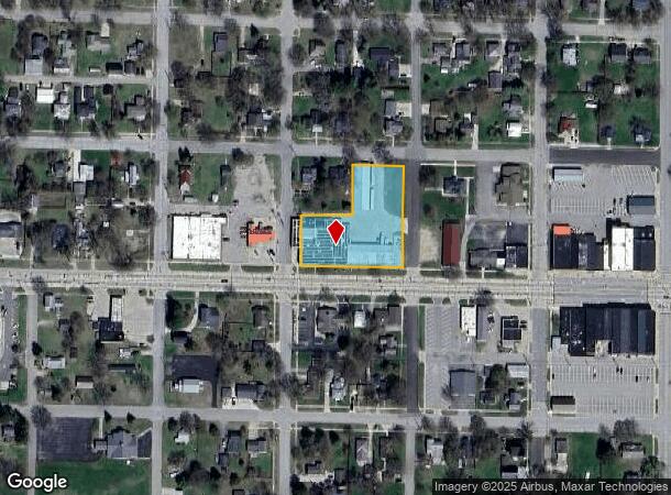
Property Record
320 W Main St, Carson City, MI 48811


NEARBY LISTINGS FOR SALE OR LEASE
Property Detail
320 W Main St
Other Market Areas
City Of Carson City
Grand Rapids-Wyoming, MI
. LOTS 81, 82 83 & 84 & LOTS 55 & 56 ALSO THAT PART OF VACATED ALLLEY DES AS BEG AT SE COR OF LOT 55; TH W 132 FT; S 16.5 FT;
051-110-081-00
Montcalm
Commercialnec
Michigan
2025
55-56
2025
1.20 AC
971000
Michigan North Central Area
DEMOGRAPHICS near 320 W Main St
1 Mile
3 Mile
5 Mile
2024 Total Population
1,232
3,685
6,534
2029 Population
1,230
3,665
6,488
Pop Growth 2024-2029
(0.16%)
(0.54%)
(0.70%)
Average Age
41
42
43
2024 Total Households
488
806
1,108
HH Growth 2024-2029
(0.41%)
(1.36%)
(2.17%)
Median Household Inc
$43,879
$51,216
$54,950
Avg Household Size
2.40
2.50
2.50
2024 Avg HH Vehicles
2.00
2.00
2.00
Median Home Value
$146,063
$159,595
$168,560
Median Year Built
1966
1965
1965
Nearby Places
Map Layers
Map Styles
 Street
 Aerial
- Restaurants
- Banks
- Shops
- Fitness
- Groceries
SALE & LEASE HISTORY
LISTING DATE
SALE/LEASE

Nov 05, 2024
For Sale
Nearby Properties
Address
Land Use
TOTAL SIZE
Lot Size
Zoning
Address
Land Use
TOTAL SIZE
Lot Size
Zoning
9.14 AC
Address
Land Use
TOTAL SIZE
Lot Size
Zoning
153.80 AC
Address
Land Use
TOTAL SIZE
Lot Size
Zoning
62.65 AC
Address
Land Use
TOTAL SIZE
Lot Size
Zoning
Address
Land Use
TOTAL SIZE
Lot Size
Zoning
79.16 AC
Address
Land Use
TOTAL SIZE
Lot Size
Zoning
Address
Land Use
TOTAL SIZE
Lot Size
Zoning
Address
Land Use
TOTAL SIZE
Lot Size
Zoning
125.28 AC
Address
Land Use
TOTAL SIZE
Lot Size
Zoning
147.60 AC
Address
Land Use
TOTAL SIZE
Lot Size
Zoning
Address
Land Use
TOTAL SIZE
Lot Size
Zoning
25.70 AC
Address
Land Use
TOTAL SIZE
Lot Size
Zoning
Address
Land Use
TOTAL SIZE
Lot Size
Zoning
78.50 AC
Address
Land Use
TOTAL SIZE
Lot Size
Zoning
80.52 AC
Address
Land Use
TOTAL SIZE
Lot Size
Zoning
Address
Land Use
TOTAL SIZE
Lot Size
Zoning
Address
Land Use
TOTAL SIZE
Lot Size
Zoning
Address
Land Use
TOTAL SIZE
Lot Size
Zoning
Address
Land Use
TOTAL SIZE
Lot Size
Zoning
0.45 AC
Address
Land Use
TOTAL SIZE
Lot Size
Zoning
Address
Land Use
TOTAL SIZE
Lot Size
Zoning
Address
Land Use
TOTAL SIZE
Lot Size
Zoning
77.33 AC
Address
Land Use
TOTAL SIZE
Lot Size
Zoning
Address
Land Use
TOTAL SIZE
Lot Size
Zoning
Address
Land Use
TOTAL SIZE
Lot Size
Zoning
2.74 AC
Address
Land Use
TOTAL SIZE
Lot Size
Zoning
Address
Land Use
TOTAL SIZE
Lot Size
Zoning
0.20 AC
Address
Land Use
TOTAL SIZE
Lot Size
Zoning
Address
Land Use
TOTAL SIZE
Lot Size
Zoning
116.19 AC
Address
Land Use
TOTAL SIZE
Lot Size
Zoning
2.20 AC
The World's #1 Commercial Real Estate Marketplace
Connect with us
© 2025 CoStar Group
The information above has been obtained from sources believed reliable. While we do not doubt its accuracy we have not verified it and make no guarantee, warranty or representation about it. It is your responsibility to independently confirm its accuracy and completeness. Any projections, opinions, assumptions, or estimates used are for example only and do not represent the current or future performance of the property. The value of this transaction to you depends on tax and other factors which should be evaluated by your tax, financial, and legal advisors. You and your advisors should conduct a careful, independent investigation of the property to determine to your satisfaction the suitability of the property for your needs.