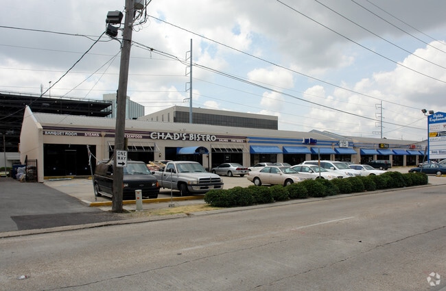
Property Record
3216 W Esplanade Ave N, Metairie, LA 70002

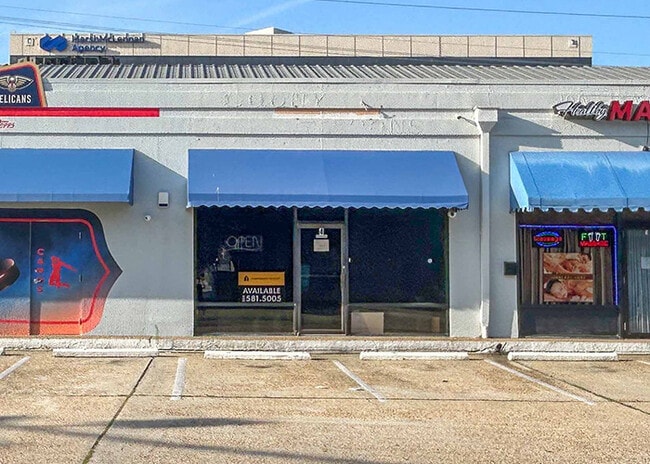
Current Lease Availabilities
NEARBY LISTINGS FOR SALE OR LEASE
Property Detail
3216 W Esplanade Ave N
New Orleans-Metairie, LA
Harlem Sq
0820000382
& LOTS 3A & 4A PLOT L VIOSCA TRACT MAP 5059
Realpropertynec
Jefferson
AE
Louisiana
22051C0235F
21
2024
0.95 AC
2024
Metairie
0303001008
New Orleans/Metairie/Kenner
DEMOGRAPHICS near 3216 W Esplanade Ave N
1 Mile
3 Mile
5 Mile
2024 Total Population
14,440
108,663
230,561
2029 Population
13,984
104,293
220,947
Pop Growth 2024-2029
(3.16%)
(4.02%)
(4.17%)
Average Age
41
42
42
2024 Total Households
6,261
48,262
101,118
HH Growth 2024-2029
(3.23%)
(4.13%)
(4.31%)
Median Household Inc
$68,855
$66,229
$63,922
Avg Household Size
2.30
2.20
2.20
2024 Avg HH Vehicles
1.00
2.00
2.00
Median Home Value
$370,635
$329,363
$297,420
Median Year Built
1972
1971
1967
Nearby Places
Map Layers
Map Styles
 Street
 Aerial
- Restaurants
- Banks
- Shops
- Fitness
- Groceries
PUBLIC TRANSPORTATION
COMMUTER RAIL
New Orleans Union Passenger Terminal (City of New Orleans - Amtrak, Crescent - Amtrak, Sunset Limited - Amtrak)
DRIVE
WALK
Distance
New Orleans Union Passenger Terminal (City of New Orleans - Amtrak, Crescent - Amtrak, Sunset Limited - Amtrak)
14 min
8.5 mi
AIRPORT
Louis Armstrong New Orleans International
DRIVE
WALK
Distance
Louis Armstrong New Orleans International
16 min
9.5 mi
Freight Ports
Port of New Orleans
DRIVE
WALK
Distance
Port of New Orleans
20 min
10.5 mi
Nearby Properties
Address
Land Use
TOTAL SIZE
Lot Size
Zoning
Address
Land Use
TOTAL SIZE
Lot Size
Zoning
23.74 AC
R1A
Address
Land Use
TOTAL SIZE
Lot Size
Zoning
50.06 AC
R1A
Address
Land Use
TOTAL SIZE
Lot Size
Zoning
20.73 AC
Address
Land Use
TOTAL SIZE
Lot Size
Zoning
4.31 AC
BC2
Address
Land Use
TOTAL SIZE
Lot Size
Zoning
7.56 AC
S-LRS1
Address
Land Use
TOTAL SIZE
Lot Size
Zoning
1.45 AC
M1
Address
Land Use
TOTAL SIZE
Lot Size
Zoning
3.32 AC
FC3
Address
Land Use
TOTAL SIZE
Lot Size
Zoning
Address
Land Use
TOTAL SIZE
Lot Size
Zoning
7.98 AC
R1A
Address
Land Use
TOTAL SIZE
Lot Size
Zoning
Address
Land Use
TOTAL SIZE
Lot Size
Zoning
2.56 AC
R2
Address
Land Use
TOTAL SIZE
Lot Size
Zoning
39,963 SF
110.36 AC
OS-N
Address
Land Use
TOTAL SIZE
Lot Size
Zoning
4.90 AC
R2
Address
Land Use
TOTAL SIZE
Lot Size
Zoning
0.20 AC
Address
Land Use
TOTAL SIZE
Lot Size
Zoning
0.12 AC
Address
Land Use
TOTAL SIZE
Lot Size
Zoning
14.56 AC
R1A
Address
Land Use
TOTAL SIZE
Lot Size
Zoning
10.76 AC
C2
Address
Land Use
TOTAL SIZE
Lot Size
Zoning
0.45 AC
Address
Land Use
TOTAL SIZE
Lot Size
Zoning
1.85 AC
GO2
Address
Land Use
TOTAL SIZE
Lot Size
Zoning
11.57 AC
Address
Land Use
TOTAL SIZE
Lot Size
Zoning
0.11 AC
Address
Land Use
TOTAL SIZE
Lot Size
Zoning
7.70 AC
R2
Address
Land Use
TOTAL SIZE
Lot Size
Zoning
0.56 AC
R3
Address
Land Use
TOTAL SIZE
Lot Size
Zoning
Address
Land Use
TOTAL SIZE
Lot Size
Zoning
118.30 AC
Address
Land Use
TOTAL SIZE
Lot Size
Zoning
Address
Land Use
TOTAL SIZE
Lot Size
Zoning
Address
Land Use
TOTAL SIZE
Lot Size
Zoning
Address
Land Use
TOTAL SIZE
Lot Size
Zoning
The World's #1 Commercial Real Estate Marketplace
Connect with us
© 2026 CoStar Group
The information above has been obtained from sources believed reliable. While we do not doubt its accuracy we have not verified it and make no guarantee, warranty or representation about it. It is your responsibility to independently confirm its accuracy and completeness. Any projections, opinions, assumptions, or estimates used are for example only and do not represent the current or future performance of the property. The value of this transaction to you depends on tax and other factors which should be evaluated by your tax, financial, and legal advisors. You and your advisors should conduct a careful, independent investigation of the property to determine to your satisfaction the suitability of the property for your needs.